Verified
Private Campground
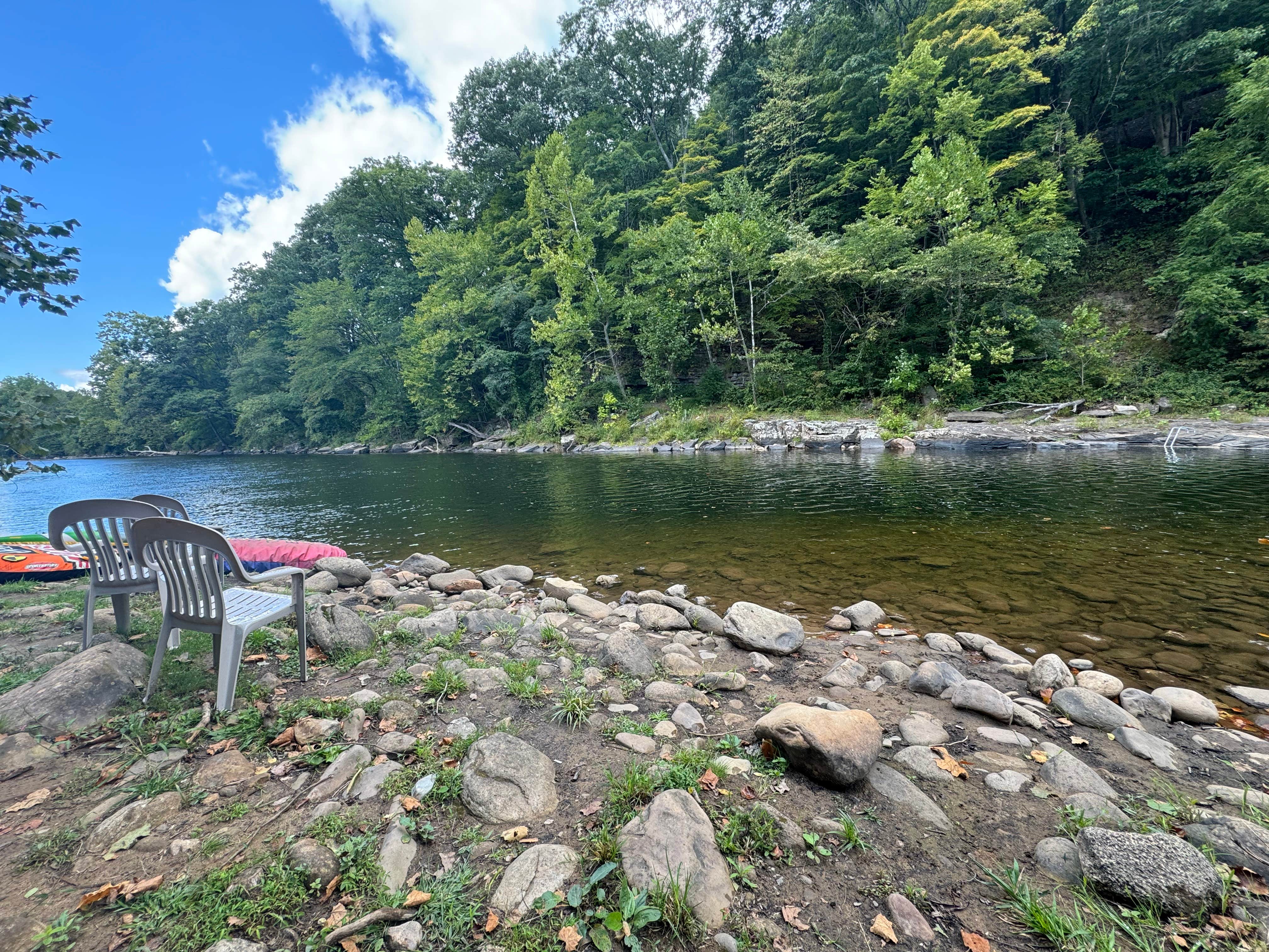
Brooklyn Heights Riverfront Campground
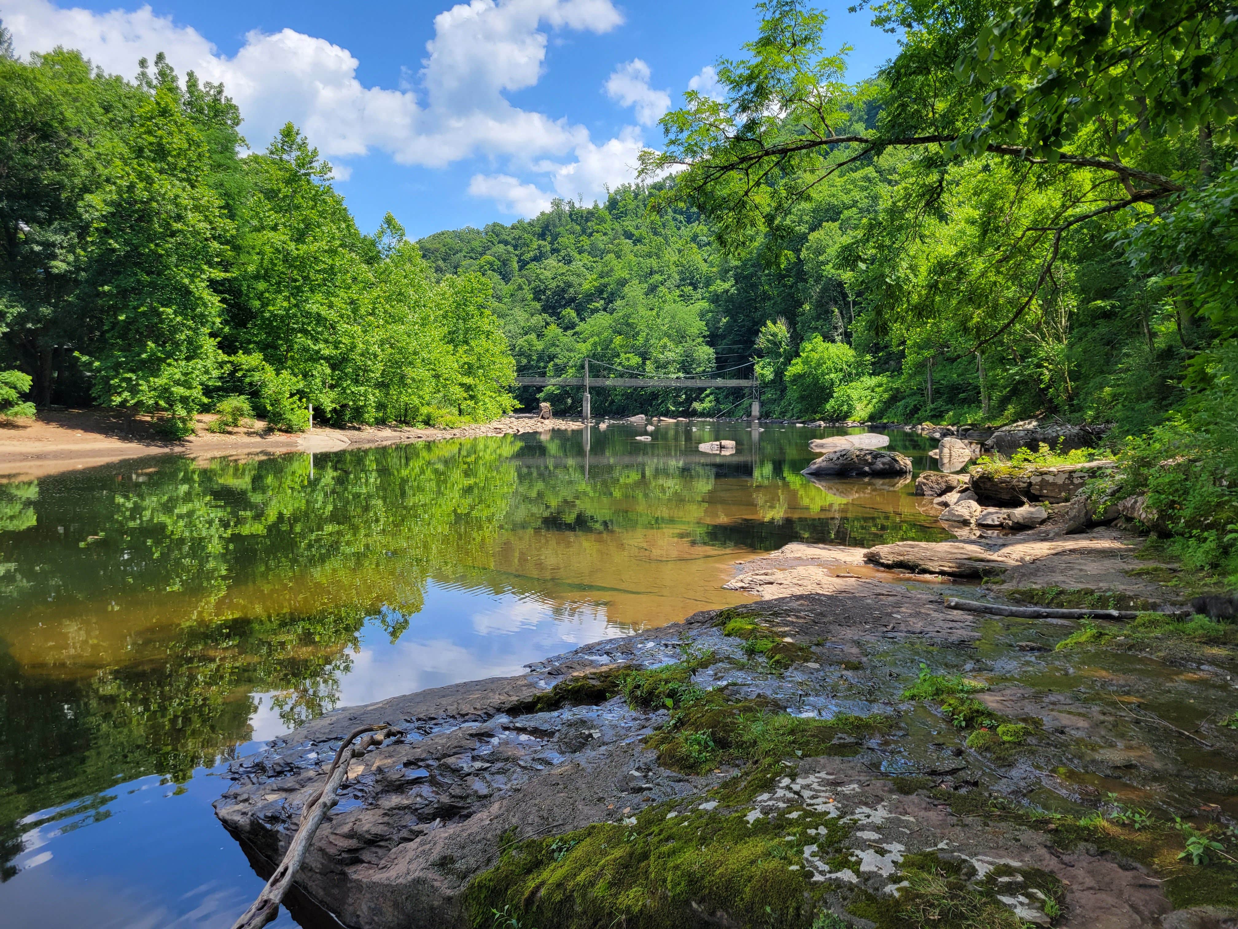
Brooklyn Heights Riverfront Campground is located near the Cheat River in West Virginia, offering a setting with riverfront access. The area experiences temperatures ranging from the 30s in winter to the 80s in summer. Nearby attractions include Blackwater Falls State Park and the Monongahela National Forest, providing opportunities for hiking and exploring nature.
Description
Brooklyn Heights Riverfront Campground
A Wilderness Riverfront Oasis
The camp has access to nearly 4 miles of wilderness riverfront on a dead end road, and yet just a few miles to the beautiful town of Parsons WV in Tucker County! Home of 19th century tourist towns of Thomas / Davis / and Canaan Valley.
--> The Dryfork and Blackwater Rivers combine nearby, the pedestrian cable suspension bridge to Hendricks is less than half a mile downstream, the Fernow Experimental Forest is just a mile downstream, and the Monongahela national forest and huge unlogged forests are all around! And Brooklyn Heights Rd. is also a waterfall mecca after any decent rains including right here on the property and very nearby.
Hike, camp, swim, fish, bike tube, kayak, canoe, explore, forage, campfires, beach area fires, relax and enjoy!
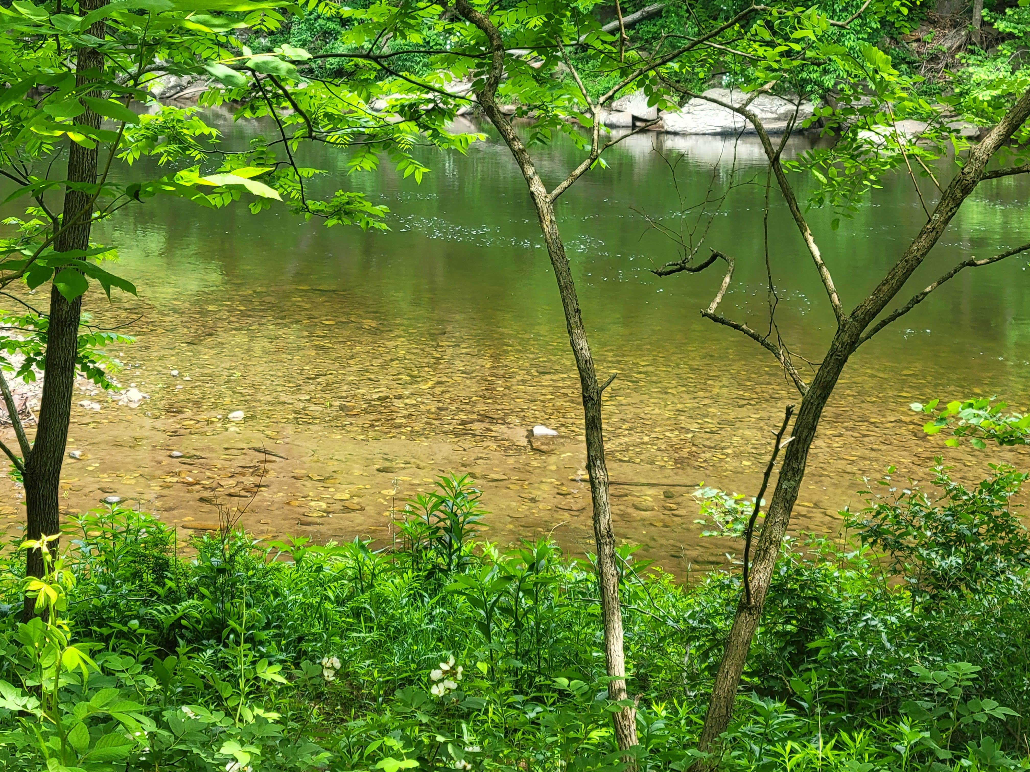
--> Brooklyn Heights Riverfront Campground includes 35 acres of unlogged wilderness forest with roads, trails and 2100 feet of riverfront on the Dry Fork River.
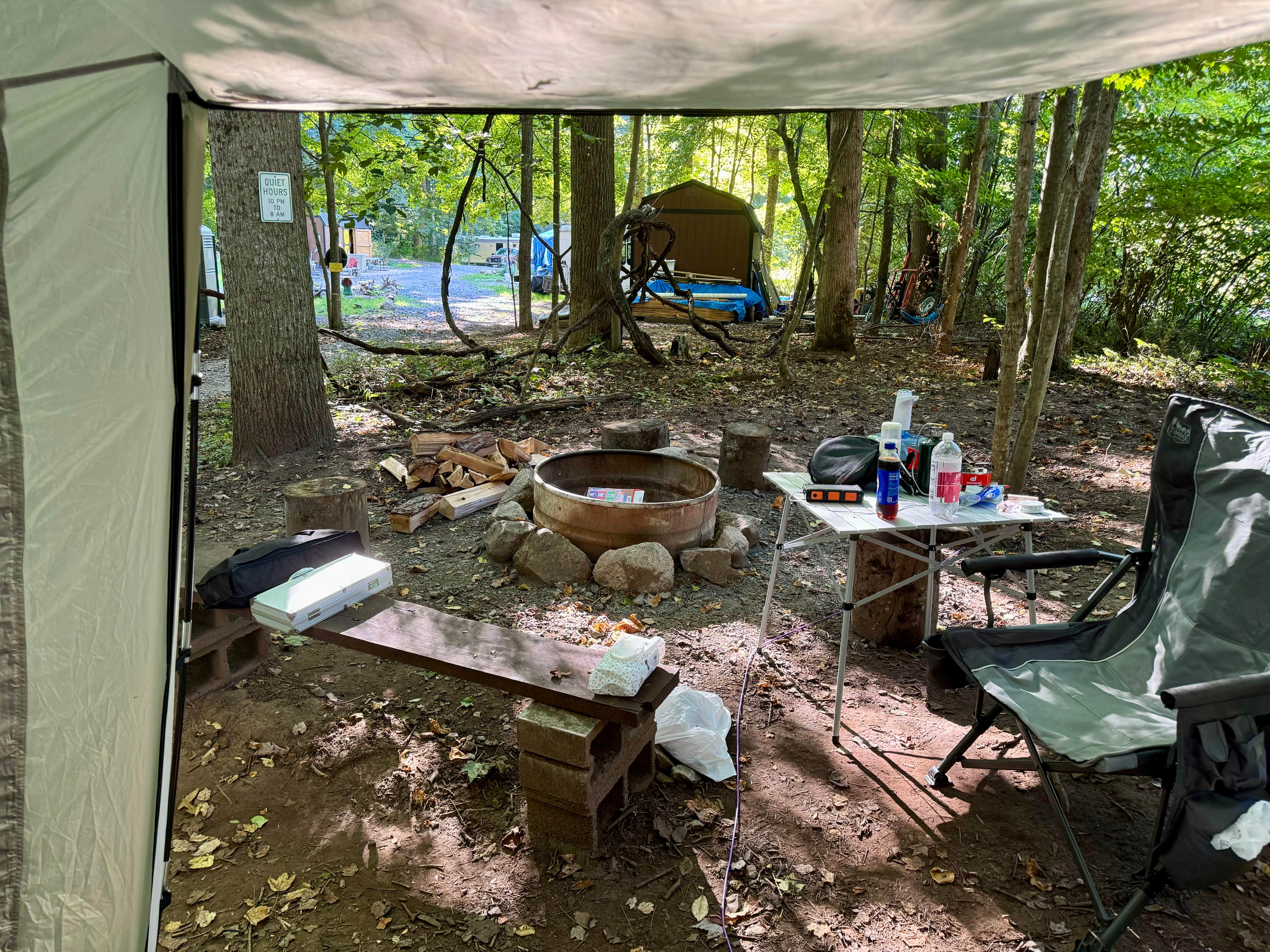
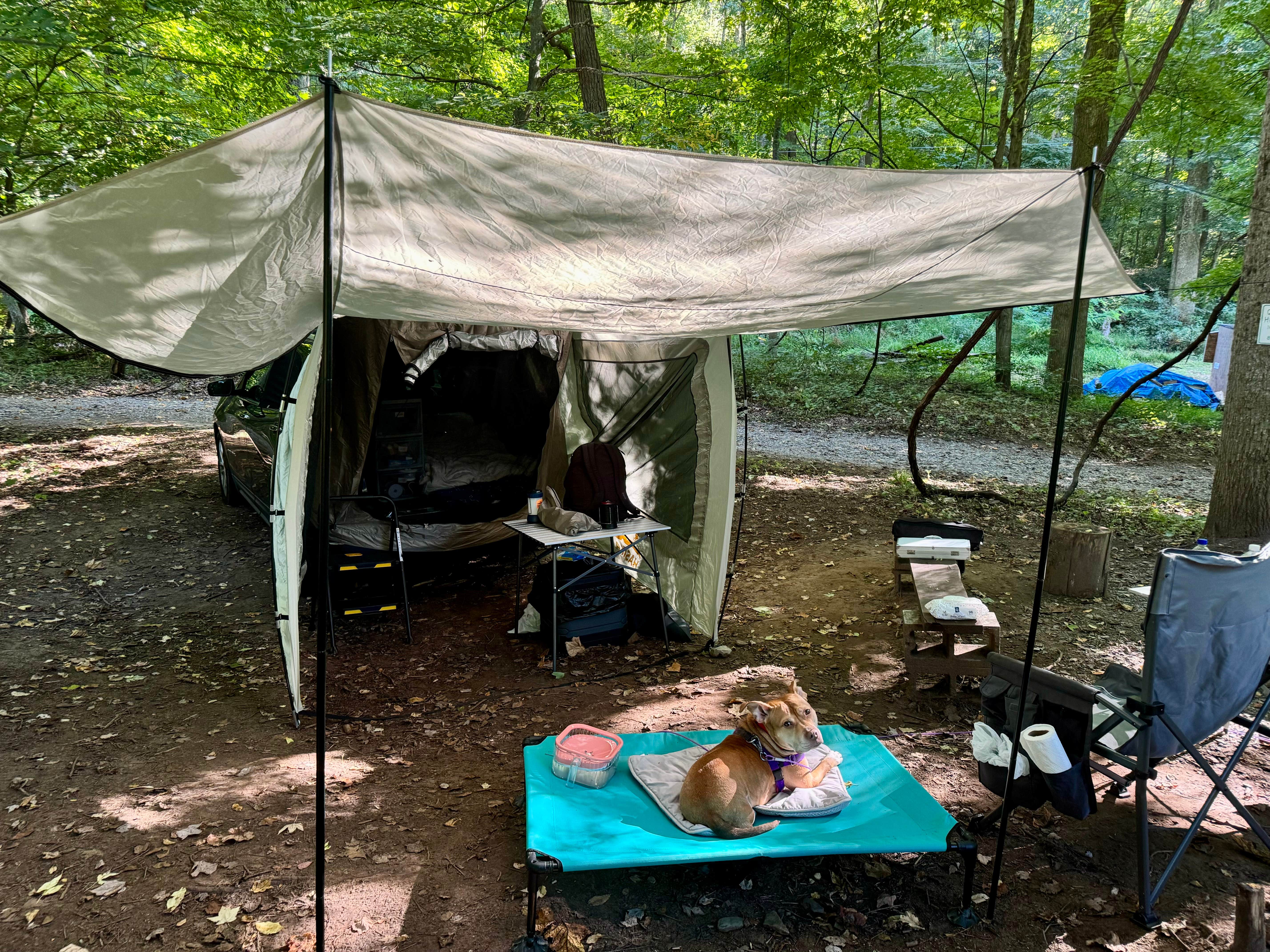
--> The camp includes 15 camping sites (firepits, slabwood benches, parking, and future picnic tables), 5 primitive shelter cabin sites (10x`12 lofted barn cabins with hasp for your padlock), and a 10 spacious short term RV sites near the river (RV's 30 foot or less recommended).
--> Water spigots are available for general use by the office cabin and provide water from a mountain spring water source and must be considered non-potable - so boil to drink or bring your own water for consumption. Water spigots also on location for RV1 - RV4.
--> Also a couple of electric outlets are available for general use by the office cabin near sector B.
--> Waterfalls, creeks, kayak drop points, swimming, tubing, hiking, fishing, and water recreation abounds.
And the nearby towns of Parsons / Thomas / Davis / and Canaan Valley provide endless entertainment nearby with cafes, breweries, a distillery, music, restaurants and coffee shops, galleries and artwork. Also two state park lodges (Blackwater Falls Lodge, Canaan Valley Lodge), a national wildlife refuge, as well as endless rails to trails hiking trails throughout the county where railroads once ran during the coal and virgin forest harvest days of the late 19th and early 20th centuries. And the main street towns are still here and thriving!
Location
Brooklyn Heights Riverfront Campground is located in West Virginia
Directions
Directions from Parsons, WV (Tucker Co.) (3304 Brooklyn Heights Rd.. Parsons WV 26287) (also, now listed for search in Google Maps) Mile: --> 0.0 turn onto Central Ave. (close to Subway deli in town) --> quick left onto Railroad Ave. --> quick right onto Billings Ave. --> 0.8 Parson's cemetery begins -- turns into Brooklyn Heights Rd. -->1.7 end of Parsons civilization --> 2.3/2.4 entrance (to right) for Fernow Experimental forest - 701 National Forest, (sharp left) entrance to Mud bogging property. Take neither and stay straight on main road. --> 2.4 Elklick Run concrete bridge crossing --> 2.6 start of Brooklyn Heights village --> 3.0 end of village --> 3.4 / 3.5 waterfall / swim holes before swinging bridge --> 3.5 hendricks swinging bridge (pedestrian cable suspension bridge) --> 3.7 Blackfork joins Dryfork river --> 3.9 CAMP -- 10 tier waterfall at rapids -- start of camp property --> 4.0 Camp bulletin board and information kiosk (Sector A) --> 4.2 Entrance to sectors B & C and Caretaker cabin / RV parking --> 4.3 end of Camp property and Johnson Swimhole area parking
Coordinates
39.07062617468637 N
79.61738159120318 W
Connectivity
- T-Mobile5GExcellent CoverageVerified by 9 usersLast on 1/27/26
- VerizonNo CoverageVerified by 2 usersLast on 1/27/26
- AT&T5GExcellent Coverage
Connectivity
- T-Mobile5GExcellent CoverageVerified by 9 usersLast on 1/27/26
- VerizonNo CoverageVerified by 2 usersLast on 1/27/26
- AT&T5GExcellent Coverage
Access
- Drive-InPark next to your site
Site Types
- Tent Sites
- RV Sites
- Cabins
Features
For Campers
- Firewood Available
- Phone Service
- Reservable
- Drinking Water
- Toilets
- Alcohol
- Pets
- Fires
For Vehicles
- Water Hookups
- 30 Amp Hookups
Drive Time
- 1 hr 22 min from Morgantown, WV
- 1 hr 58 min from Winchester, VA
- 2 hrs 10 min from Harrisonburg, VA

