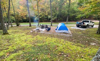
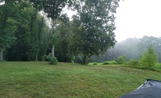
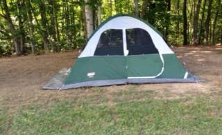
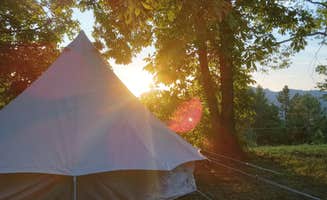
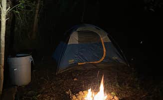
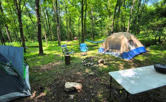
Tent camping options around Keokee, Virginia spread across the Cumberland Plateau region of the Appalachian Mountains, with elevations ranging from 1,200 to 3,500 feet. The area falls within the temperate forest zone, creating a seasonal camping experience with mild springs, humid summers, and colorful fall foliage. Winter conditions can be challenging for tent campers with temperatures frequently dropping below freezing from December through February.
What to do
Kayaking at Bark Camp Lake: The 8.5-acre mountain lake in Jefferson National Forest offers calm waters ideal for beginners. Cliffhanger Ranch Adventure Outpost provides convenient access with sites directly across from the forest entrance. A visitor noted, "We were able to kayak at Bark Camp Lake which was not busy at all and hike at Little Stony Falls. Plenty to do and see in this area."
Mountain ridge exploration: Drive the one-lane Little Shepherd Trail along mountain ridges near Kingdom Come State Park for dramatic views. "For the adventurers you can drive along a section of The Little Shepard Trail. A one lane road that runs along the ridge of the mountain. No guard rails! With 300 foot cliffs to either side," reports one Kingdom Come camper.
Wildlife observation: Bear sightings are common but generally safe when proper precautions are taken. A camper at Kingdom Come State Park reported, "We saw a bear across the valley, so take the warnings seriously and follow the instructions." Another mentioned, "I saw more bears while at this park then any other time. But it was never scary because they were always far away."
What campers like
Natural rock formations: Several campgrounds provide access to unique geological features. At Kingdom Come State Park, "There are plenty of hiking trails. Our favorite is the Raven Rock trail which leads to a 450 foot 40 degree angle granite rock facing that you can climb to get an amazing view of the surrounding mountains. There is also a natural rock bridge close to the campsites called Log Rock."
Free amenities: Kingdom Come State Park offers unusual perks not found at most primitive campgrounds. A regular visitor commented, "Oh, I failed to mention free firewood. Everyday a ranger will come by and keep you stocked with wood. It's included with the price of camping." Another noted, "The local ranger was most helpful in providing firewood (free!) and offering to bring us water to wash up with or for drinking."
Cell service disconnection: The remote location forces a digital detox for most visitors. One camper at Kingdom Come simply stated, "Great area, no service or wifi," which many visitors consider a feature rather than an inconvenience for true wilderness immersion.
What you should know
Bear safety requirements: Food storage infrastructure is provided at some campgrounds but requires proper use. "The campground has 7 sites each with it's own picnic table, fire ring, and pole for stashing your food away from bears," notes a Kingdom Come State Park visitor. Practice proper food storage everywhere in the region, including at Bellebrook Acres where basic toilet facilities are available but food must be secured.
Limited drinking water access: Most sites require bringing all water supplies. At Kingdom Come, "There is a water fountain across from the CG, but it wasn't turned on and there is running water in the restrooms." Most primitive sites have no potable water sources nearby.
Seasonal closures: Some campgrounds operate on limited schedules. Jefferson National Forest High Knob Campground typically operates only from May 15 to September 15, though one visitor reported, "Road closed unfortunately. Not information posted." Always check current status before planning a trip.
Tips for camping with families
Fishing opportunities: For family activities, consider Kingdom Come State Park's stocked fishing pond. "If you like fishing there is a small lake which is regularly stocked with Trout. Bass, Blue Gill, Sunfish, and a few others. It's just a short walk from the campsites," reports a regular visitor.
Site selection for privacy: Choose sites strategically for family needs. At Kingdom Come, "Of the 7 sites 6 are close together. The 7th is of by itself and about 100 feet from the lake in a more secluded area." Similarly, at Misfit Farmz, families can arrange for more private experiences: "We can help with large parties having private weddings and parties."
Natural shelter options: Some areas provide unique natural features for weather protection. At CR Adventure Outpost, the tent sites offer good tree cover, and the property includes "a cabin we stayed in [that] is very cozy and good size for two people."


