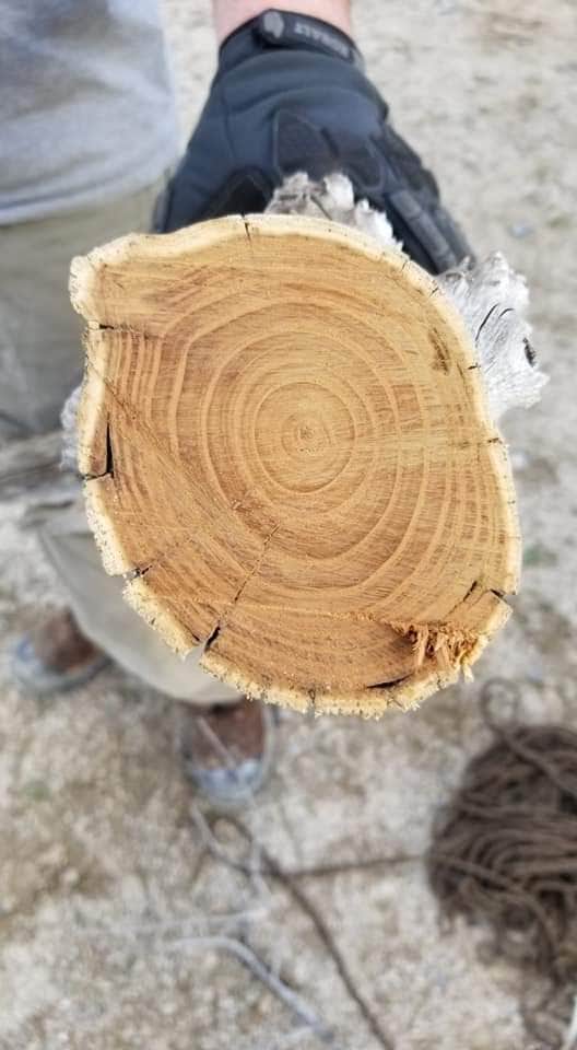
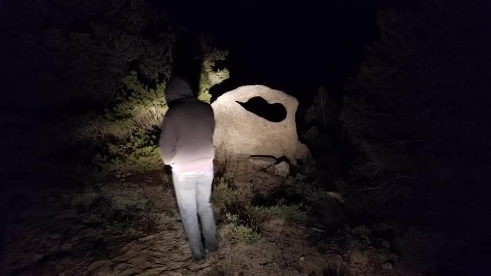
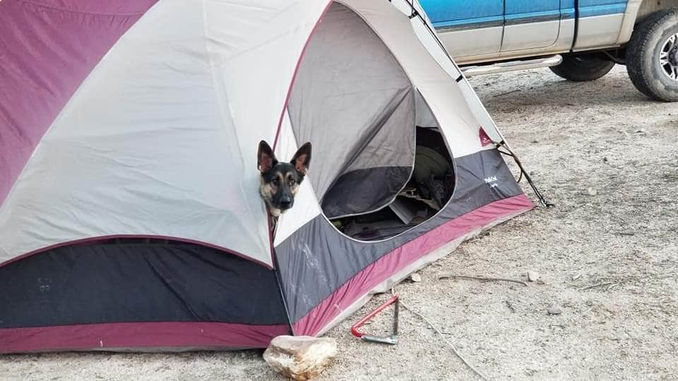
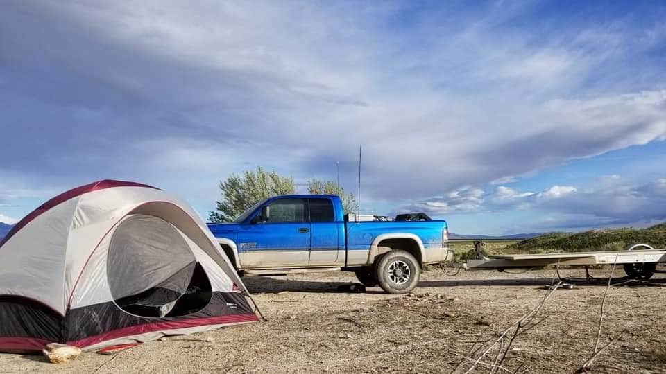
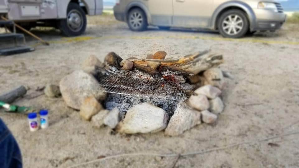
Camper submitted image from Lower Basin Campground - 1
View All
Camper submitted image from Lower Basin Campground - 2
Camping
Camper submitted image from Lower Basin Campground - 3
Nature
Camper submitted image from Lower Basin Campground - 4
Food
Camper submitted image from Lower Basin Campground - 5
Buildings

Free Camping Collection

Dispersed Camping

Lower Basin Campground

Lower Basin Campground is located near varied terrain with flat areas and rocky formations. The region experiences temperatures ranging from 30°F in winter to 90°F in summer. Visitors can explore nearby attractions such as Fish Springs National Wildlife Refuge and the expansive Bonneville Salt Flats.

Suggest an Edit

Location

Lower Basin Campground is located in Utah

Detail location of campground

Coordinates

39.88570564873293 N
113.8257999117514 W

Open in Google Maps

The Dyrt Alerts

Get reservations at sold-out campgrounds.

Learn More

Access

  • Drive-In
    Park next to your site
  • Walk-In
    Park in a lot, walk to your site.

Stay Connected

  • WiFi
    Unknown
  • Verizon
    Available
  • AT&T
    Available
  • T-Mobile
    Good

Site Types

  • Dispersed

Features

For Campers

  • Firewood Available
  • Alcohol
  • Pets
  • Fires

DISPERSED CAMPING

Enjoy dispersed camping on government land and leave no trace. Pack in and pack out. No (or limited) services at this camping area. Permit may be required.


PERMIT might be REQUIRED

We curate permit requirements across the US for our PRO members. Try PRO to see if Lower Basin Campground needs a permit.

Drive Time


Reviews

Add Review

5 Stars

4 Stars

3 Stars

2 Stars

1 Star

50%
0%
0%
0%
50%

3.0

out of 5

2 Reviews

Reviewed May. 28, 2019

Great, but no trees.

Friends and I stayed here over memorial day weekend (Thursday-Sunday). It was a very nice place. BLM owned, and no one bothered us. We were able to get here fairly easily but here are two words of warning:

  1. If you're coming from anywhere in that you need to take I-80 E from Salt Lake, DO NOT follow Google/Garmin. Drive to Wendover, and navigate from there. Google/Garmin will take you through Dugway Proving Grounds, a secretive military installation nicknamed "Area 52".
  2. Bring lots of water. There is a water runoff area, but it's always good to bring water. There aren't any bathrooms, so plan accordingly.

It's a nice, treeless area that my buddies and I had a good time at. We were able to shoot guns, and had a real good time. On the downside, there aren't any trees, and it's a lot of brush. Getting up into the actual Scott's Basin, you'll need to either take 4x4 recreational vehicles, or off-road vehicles (Jeeps, Land Rovers, etc.).

  • Review photo of Lower Basin Campground by Matt B., May 28, 2019
  • Review photo of Lower Basin Campground by Matt B., May 28, 2019
  • Review photo of Lower Basin Campground by Matt B., May 28, 2019
  • (5) View All

Frequently Asked Questions

  • What is the elevation of Lower Basin Campground?

    Lower Basin Campground is located at 6624 feet.

  • Are fires allowed at Lower Basin Campground?

    Yes, according to campers on TheDyrt.com, fires are allowed at Lower Basin Campground, although make sure to check current fire restrictions in the area.

  • Does Lower Basin Campground have wifi?

    No, according to campers on TheDyrt.com, Lower Basin Campground does not have wifi.