Umatilla Forks Campground is located near Weston in the Umatilla National Forest. The terrain consists of forested areas with rivers and streams nearby. Campers can explore the Blue Mountain Scenic Byway and the nearby Jubilee Lake, with temperatures ranging from 30°F in winter to 85°F in summer.
Description
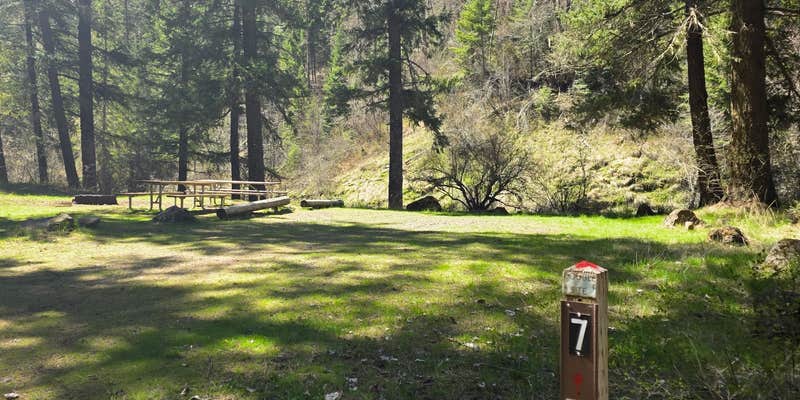
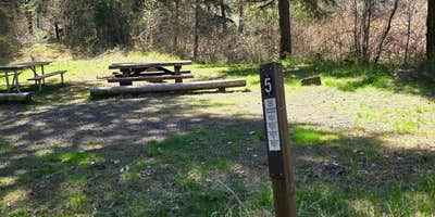
Situated between the South Fork and the North Fork of the Umatilla River, this campground offers many more activities than just camping. Fishing (catch and release) and hiking in the North Fork Umatilla Wilderness are popular from early spring to late fall. With campsites nestled within a riparian area among an ample mix of conifers and deciduous trees and heavy vegetation that provides great privacy, you will think you are camping in the wilderness itself!
RV Road Trip Guides

Location
Public CampgroundUmatilla Forks Campground is located in Oregon
Directions
From Pendleton, Oregon: Drive east for 7 miles on Interstate 84 and take Exit 216. Go left (north) for 2 miles to the blinking 4-way stoplight. Take a right onto Mission Road and continue onto Cayuse Road/County Road 931/Emigrant Road. After 1.7 miles turn left onto Cayuse Road (follow Bar M Ranch signs). Travel about 16 miles to where it meets Bingham Road. Turn right onto Bingham Road/County Road 900, cross the railroad tracks, and follow Bingham Road/County Road 900 (NOTE: this road becomes Forest Service Road 32 at the forest boundary) for approximately 14 miles to the campground entrance on your right. From Walla Walla, Washington: Take Highway 11 to Athena, Oregon and turn left on Pambrum Road. Travel 5 miles and turn left onto Spring Hollow Road and go 6 miles. Turn left onto Bingham Road/County Road 900, cross the railroad tracks, and follow Bingham Road/County Road 900 (NOTE: this road becomes Forest Service Road 32 at the forest boundary) for approximately 9.5 miles to the campground entrance on your right.
Coordinates
45.72496931 N
118.18756275 W
Connectivity
 T-MobileNo Coverage
 VerizonLTESome CoverageVerified by 2 usersLast on 3/13/26
- AT&TNo Coverage
Connectivity
- T-MobileNo Coverage
- VerizonLTESome CoverageVerified by 2 usersLast on 3/13/26
- AT&TNo Coverage
Access
- Drive-InPark next to your site
- Walk-InPark in a lot, walk to your site.
Site Types
- Tent Sites
- RV Sites
- Standard (Tent/RV)
- Group
Features
For Campers
- Picnic Table
- Drinking Water
- Toilets
- Alcohol
- Pets
- Fires
Drive Time
- 1 hr 41 min from Walla Walla, WA
- 2 hrs 25 min from Kennewick, WA
- 3 hrs 30 min from Lewiston, ID
- 3 hrs 34 min from Yakima, WA


