Public Campground
Target Meadows Campground — Umatilla National Forest
Target Meadows Campground in Umatilla National Forest is surrounded by forested terrain with a mix of trees and open meadows. Temperatures can range from lows in the 30s Fahrenheit during spring and fall to highs in the 80s during summer. Nearby, campers can explore the Blue Mountains and enjoy hiking trails or visit the nearby Emigrant Springs State Heritage Area.
Description
Overview
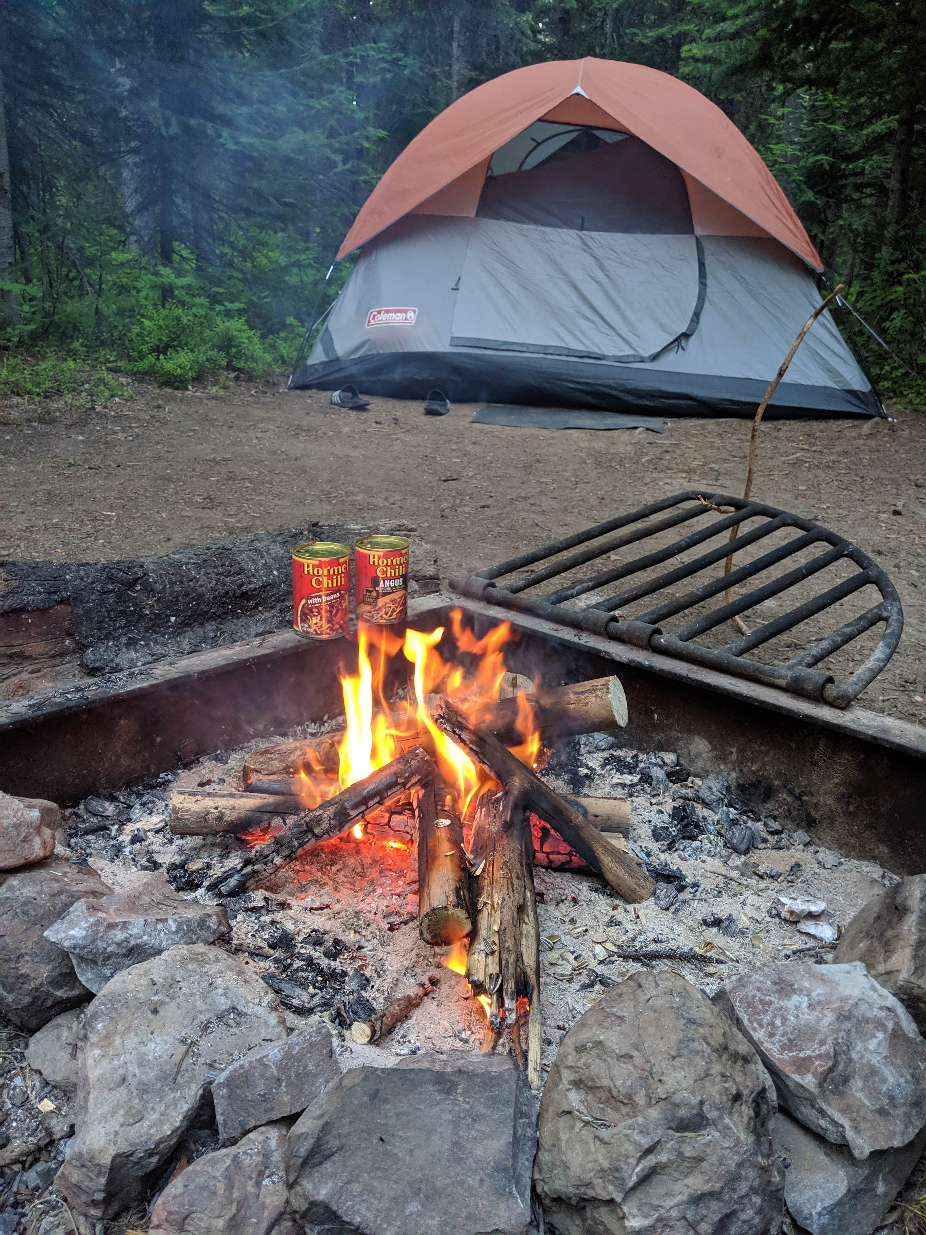
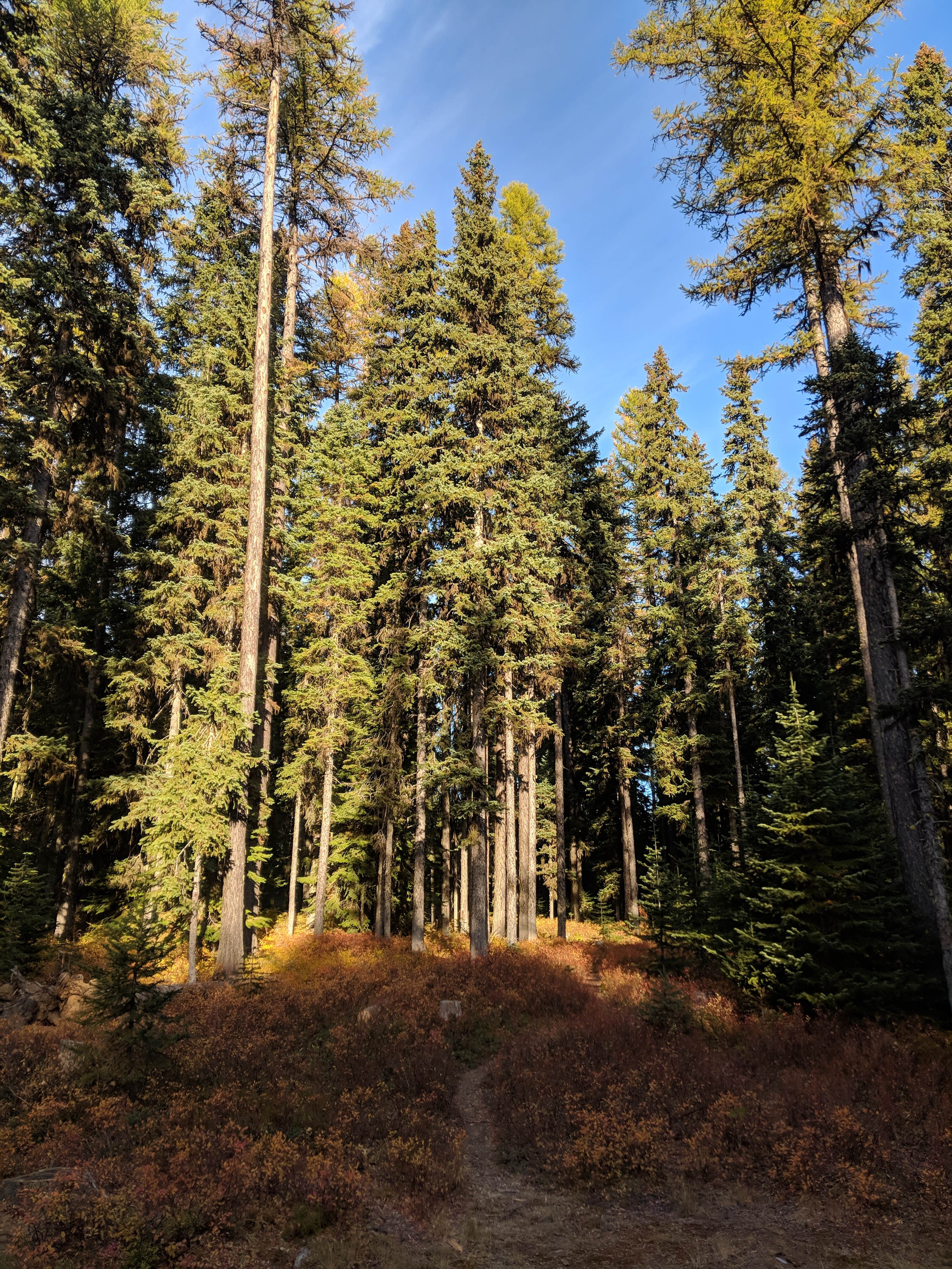
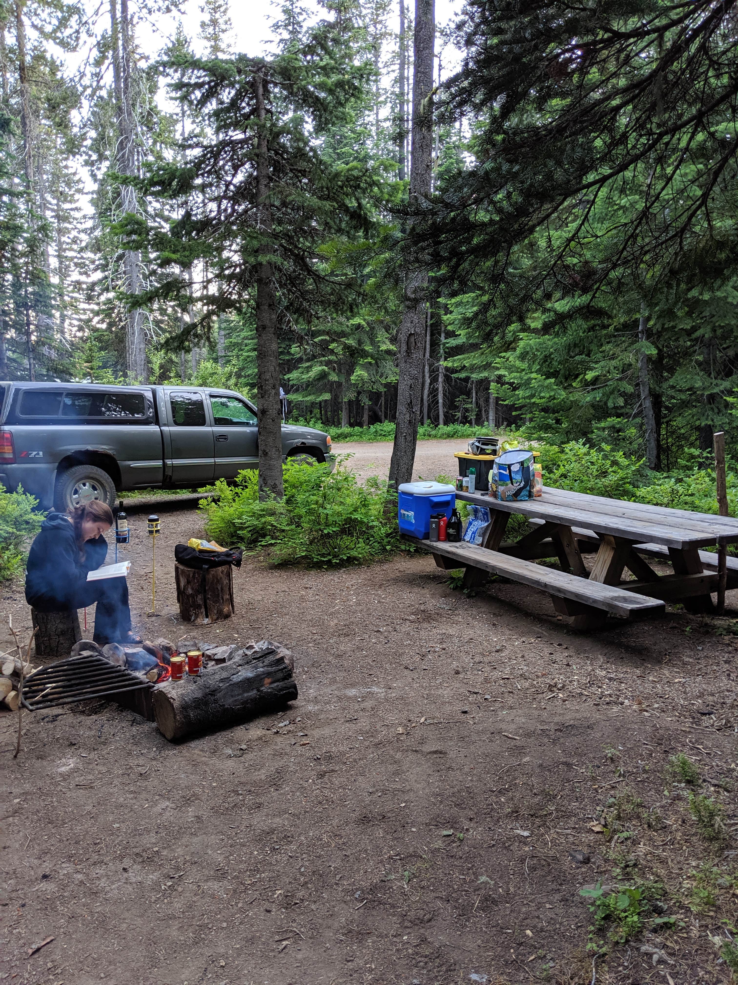
Target Meadows Campground is a serene, wooded getaway in the Blue Mountains of eastern Oregon. Located at approximately 5,000' elevation, Woodward provides a cooler, refreshing alternative to the summer heat of the nearby valleys.__ Target Meadows Campground has a remote feeling, yet is within easy driving distance of Pendleton (1 hr), La Grande (1 hr), Milton-Freewater (45 min), and Walla Walla (1 hr). The campground is shaded by many species of mature evergreen trees and is adjacent to a large open meadow where visitors can enjoy unobstructed wildlife sightings.
Recreation
Target Meadows Campground is conveniently located near some of the most popular recreation sites on the Walla Walla Ranger District. The Burnt Cabin trailhead is just a short distance from the campground. This challenging trail is open to hikers, equestrians, mountain bikes, and off-road motorcycles. From the trailhead, Burnt Cabin Trail drops almost 2,000' to the South Fork Walla Walla River. Many visitors will turn around at the South Fork bridge, while others will continue to explore the extensive trail network in the watershed. Families and paddlers can take advantage of Jubilee Lake, which is the most popular recreation site on the Umatilla National Forest and is only 14 miles from Target Meadows. There is an additional $3 day use fee to visit Jubilee Lake. Hikers and equestrians can also explore the North Fork Umatilla Wilderness from a number of nearby trailheads.
Facilities
Target Meadows Campground is conveniently located near some of the most popular recreation sites on the Walla Walla Ranger District. The Burnt Cabin trailhead is just a short distance from the campground. This challenging trail is open to hikers, equestrians, mountain bikes, and off-road motorcycles. From the trailhead, Burnt Cabin Trail drops almost 2,000' to the South Fork Walla Walla River. Many visitors will turn around at the South Fork bridge, while others will continue to explore the extensive trail network in the watershed. Families and paddlers can take advantage of Jubilee Lake, which is the most popular recreation site on the Umatilla National Forest and is only 14 miles from Target Meadows. There is an additional $3 day use fee to visit Jubilee Lake. Hikers and equestrians can also explore the North Fork Umatilla Wilderness from a number of nearby trailheads.
Natural Features
Target Meadows Campground sits above the Walla Walla River watershed, which is characterized by steep, terraced slopes that drop thousands of feet to river canyons below. Shadier slopes contain abundant mature trees, while the sunnier aspects provide open grassy views to distant mountains. The area immediately around the campground is an evergreen forest dominated by pine, larch, fir, and spruce trees that are fed by abundant winter snowpack. This forest type is popular for mushroom and huckleberry picking when in season. The adjacent meadow is excellent for wildlife viewing, especially in early mornings.
Nearby Attractions
The Tollgate area has a rural charm that will appeal to visitors looking for a break from fast-paced city life. While there are few amenities in the area, the Tollgate Crossing store has a restaurant, a coffee shop/ice cream stand, and a small convenience store to help campers resupply.
Location
Target Meadows Campground — Umatilla National Forest is located in Oregon
Directions
Target Meadows Campground is on Forest Service Road 6401-050, and 2.5 miles from Oregon Highway 204. If arriving from the west, the campground is approximately 22.5 miles from Weston. If arriving from the east, the campground is approximately 23.5 miles from Elgin. To reach the campground, turn from Highway 204 onto Forest Service Road 64 (paved, signs to Jubilee Lake). In approximately 0.25 mile, turn left onto Forest Service Road 6401 (gravel). In approximately 1.5 miles, turn right onto Forest Service Road 6401-050. Continue on this road for just under one mile to the campground.
Coordinates
45.804714 N
118.075711 W
Connectivity
- T-Mobile5GGood Coverage
- VerizonLTESome Coverage
- AT&TNo Coverage
Connectivity
- T-Mobile5GGood Coverage
- VerizonLTESome Coverage
- AT&TNo Coverage
Access
Site Types
- Tent Sites
- RV Sites
Features
For Campers
- Reservable
Drive Time
- 44 min from Walla Walla, WA
- 1 hr 34 min from Kennewick, WA
- 2 hrs 33 min from Lewiston, ID
- 2 hrs 43 min from Yakima, WA


