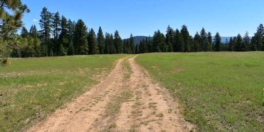
Access challenges mark this Forest Service area in the Blue Mountains, where one reviewer encountered a gated one-lane underpass that blocked vehicle entry. The campground sits within forested terrain near water features including creeks, rivers, and lakes. Despite access limitations, another camper found abundant free dispersed camping opportunities in the broader region.
The US Forest Service manages this site with basic amenities including alcohol permission and trash service. Campers should verify current road conditions and gate status before making the drive, as access may vary seasonally or due to maintenance activities affecting camping near Meacham.
Description
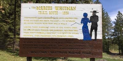
The Blue Mountain North/Grande Ronde River Basin Area is situated north of the Anthony Lakes Highway (Forest Road 73) to the Mount Emily area. It includes all of the developed recreation sites and trails in the northern Blue Mountains and those found in the Grande Ronde River Basin west of La Grande, Oregon. This area is mainly administered by the La Grande Ranger District although some of the area north of the Anthony Lakes Highway is administered by the Whitman Ranger District. Popular recreation areas include the Oregon Trail Interpretive Park at Blue Mountain Crossing, Mt. Emily, Spring Creek Recreation Area, Ladd Canyon, and Beaver Creek. Local communities that have a variety of services (i.e. fuel, lodging, stores and/or restaurants) are LaGrande, Island City, Elgin, Imbler, Cove, Richland, and Baker City . These communities are within one hour of this area.
RV Road Trip Guides


Location
Public CampgroundBlue Mtns North/Grande Ronde River Basin Area is located in Oregon
Coordinates
45.38456639 N
118.31187297 W
Connectivity
 T-Mobile5GGood CoverageVerified by 3 usersLast on 4/30/26
 VerizonLTESome CoverageVerified by 2 usersLast on 4/30/26
- AT&TLTESome CoverageVerified by 1 userLast on 4/30/26
Connectivity
- T-Mobile5GGood CoverageVerified by 3 usersLast on 4/30/26
- VerizonLTESome CoverageVerified by 2 usersLast on 4/30/26
- AT&TLTESome CoverageVerified by 1 userLast on 4/30/26
Access
Site Types
- Tent Sites
- Standard (Tent/RV)
Features
For Campers
- Trash
- Alcohol
Drive Time
- 1 hr 15 min from Walla Walla, WA
- 1 hr 29 min from Kennewick, WA
- 2 hrs 38 min from Yakima, WA
- 3 hrs 3 min from Lewiston, ID


