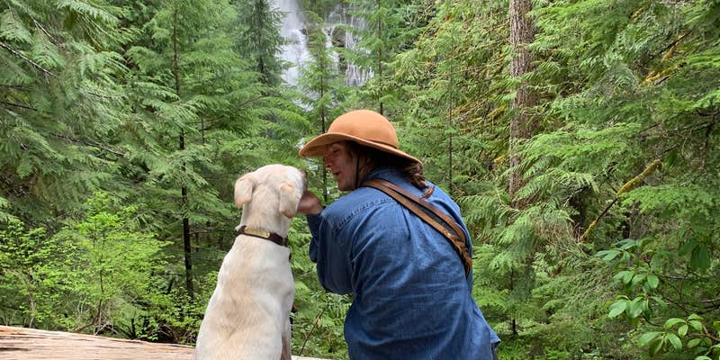
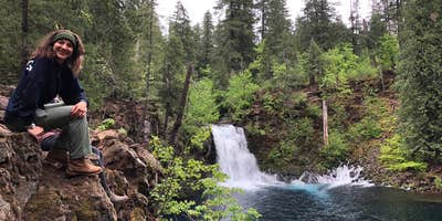
Along the McKenzie River in Willamette National Forest, this US Forest Service campground provides access to the area's waterfall corridor. Campers can drive to multiple cascades including Tamolitch Pool, known locally as Blue Pool for its distinctive coloring. The campground offers basic amenities with toilets and firewood available for purchase.
Sites sit near both river and lake access points, though seasonal weather can affect swimming conditions. The forest setting creates enhanced color visibility during cloudy periods, as one reviewer noted during a Memorial Day visit. For different accommodations, Holiday Farm RV Resort sits just over a mile southeast.
Description
The upper portion of the McKenzie River is popular for fishing, rafting, drift-boating, and kayaking. Fish in the river include bull trout, spring Chinook, rainbow trout and mountain whitefish. Watch for bald eagles, osprey, mergansers, dippers and a variety of ducks along the river corridor. View more Popular Lakes & Rivers
RV Road Trip Guides


Map & DirectionsMcKenzie River Area is located in Oregon near Mckenzie Bridge
Directions
The navigable reach of the river begins at Olallie Boat Launch, located 11 miles east of McKenzie Bridge, OR, at Olallie Campground. There are seven public boat launches located between Olallie Creek and Blue River. The Forest Service manages Olallie, Frissell, Paradise, McKenzie Bridge and Bruckart launches. No fees are required to use these launches. Launch sites on the Upper McKenzie River are generally primitive. They are at Ollalie Campground (milepost 13), Frissell Carpenter (milepost 16), Paradise Campground (milepost 54), McKenzie Trailhead (milepost 52), McKenzie Bridge Campground (milepost 49), and Bruckart (milepost 45). The first two are east of the Highway 242 cutoff..
Coordinates
44.18570139 N
122.24598382 W
Connectivity
 T-MobileLTESome Coverage
- VerizonLTESome Coverage
 AT&T5GExcellent Coverage
Connectivity
- T-MobileLTESome Coverage
- VerizonLTESome Coverage
- AT&T5GExcellent Coverage
Access
Site Types
- RV Sites
Features
For Campers
- Firewood Available
- Toilets
Drive Time
- 55 min from Eugene, OR
- 1 hr 22 min from Albany, OR
- 1 hr 30 min from Corvallis, OR
- 1 hr 39 min from Bend, OR


