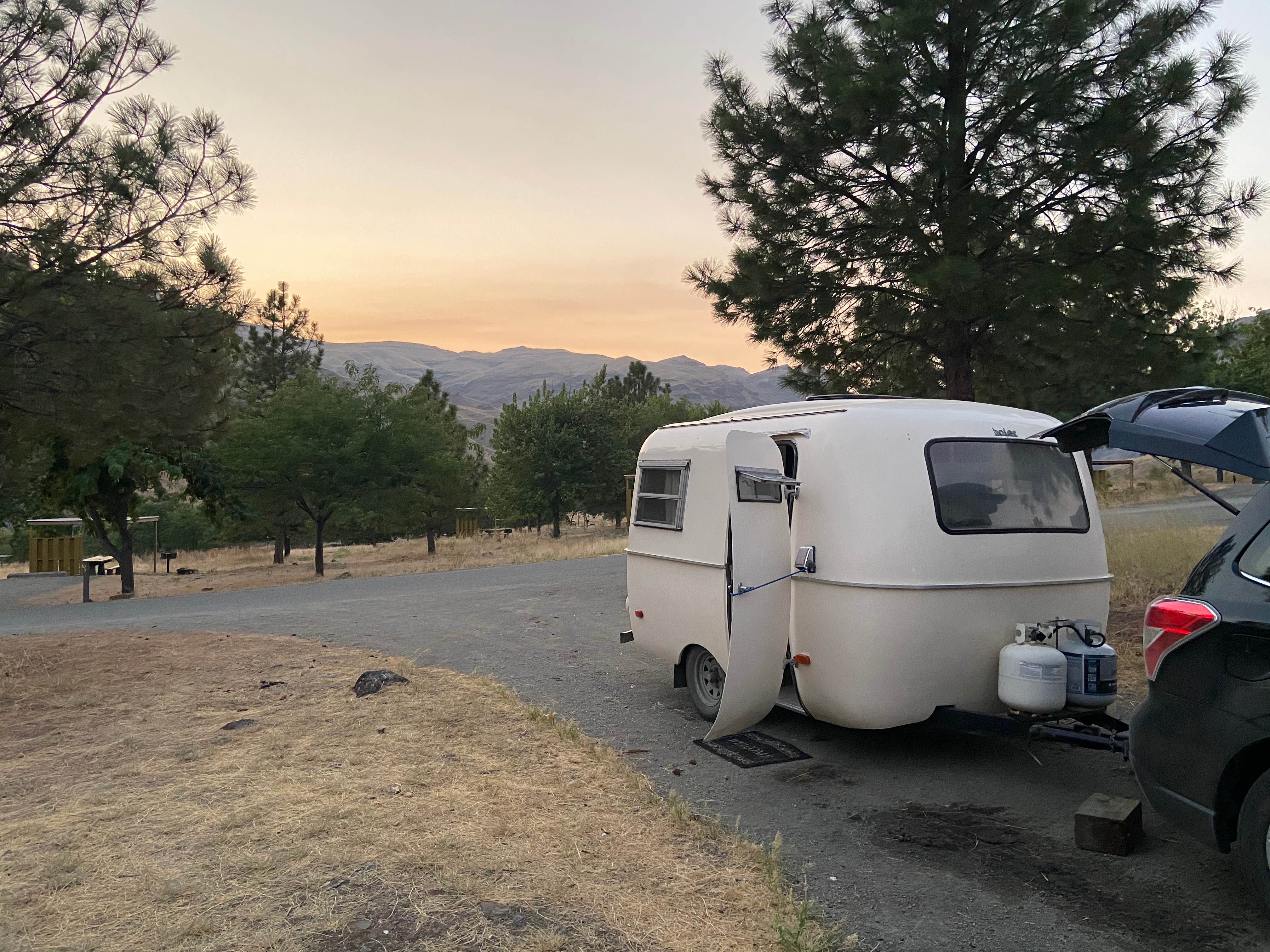
Public Campground
Pittsburg Campground
Pittsburg Campground is located near the Snake River in Oregon, surrounded by rugged terrain and riverbanks. Temperatures can range from lows in the 30s Fahrenheit during winter to highs in the 90s during summer. Nearby attractions include Hells Canyon National Recreation Area, offering hiking and fishing opportunities.
Description
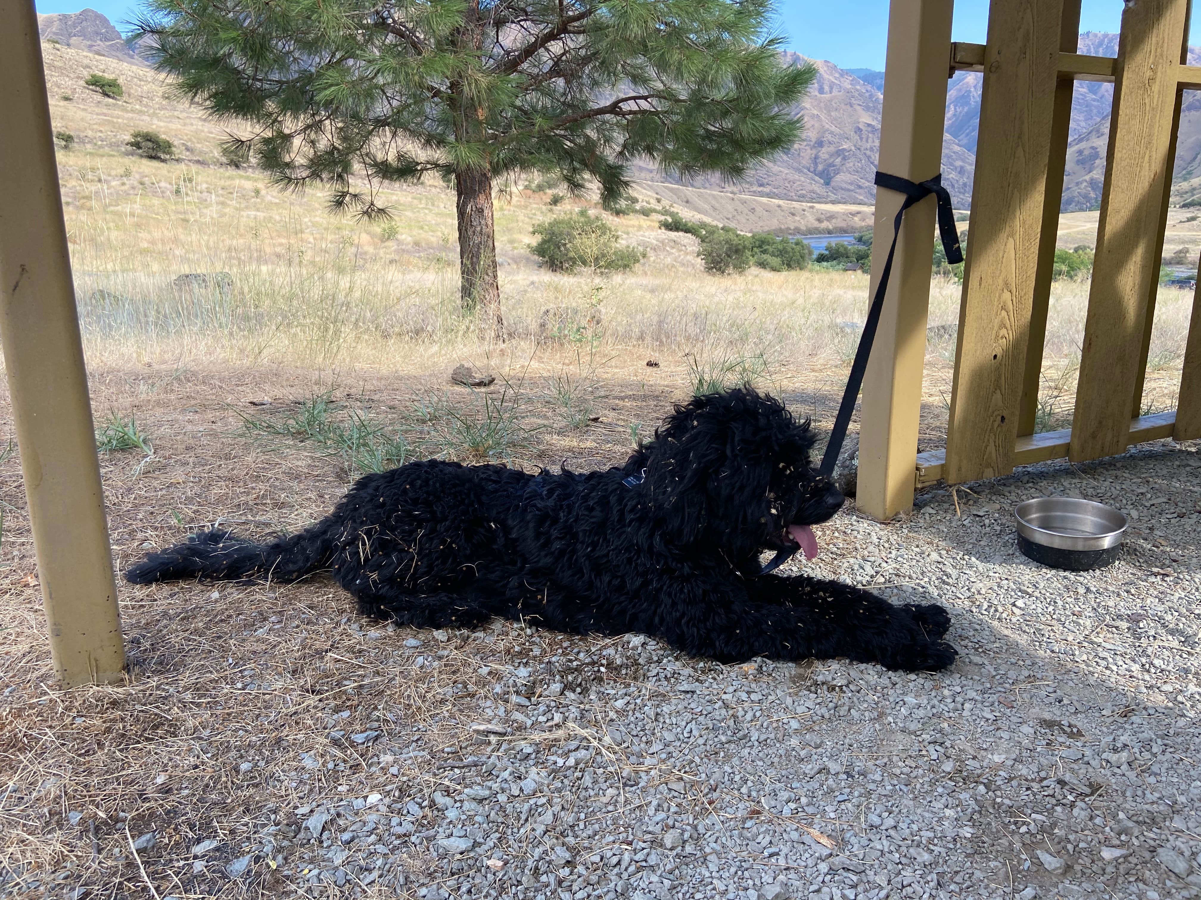
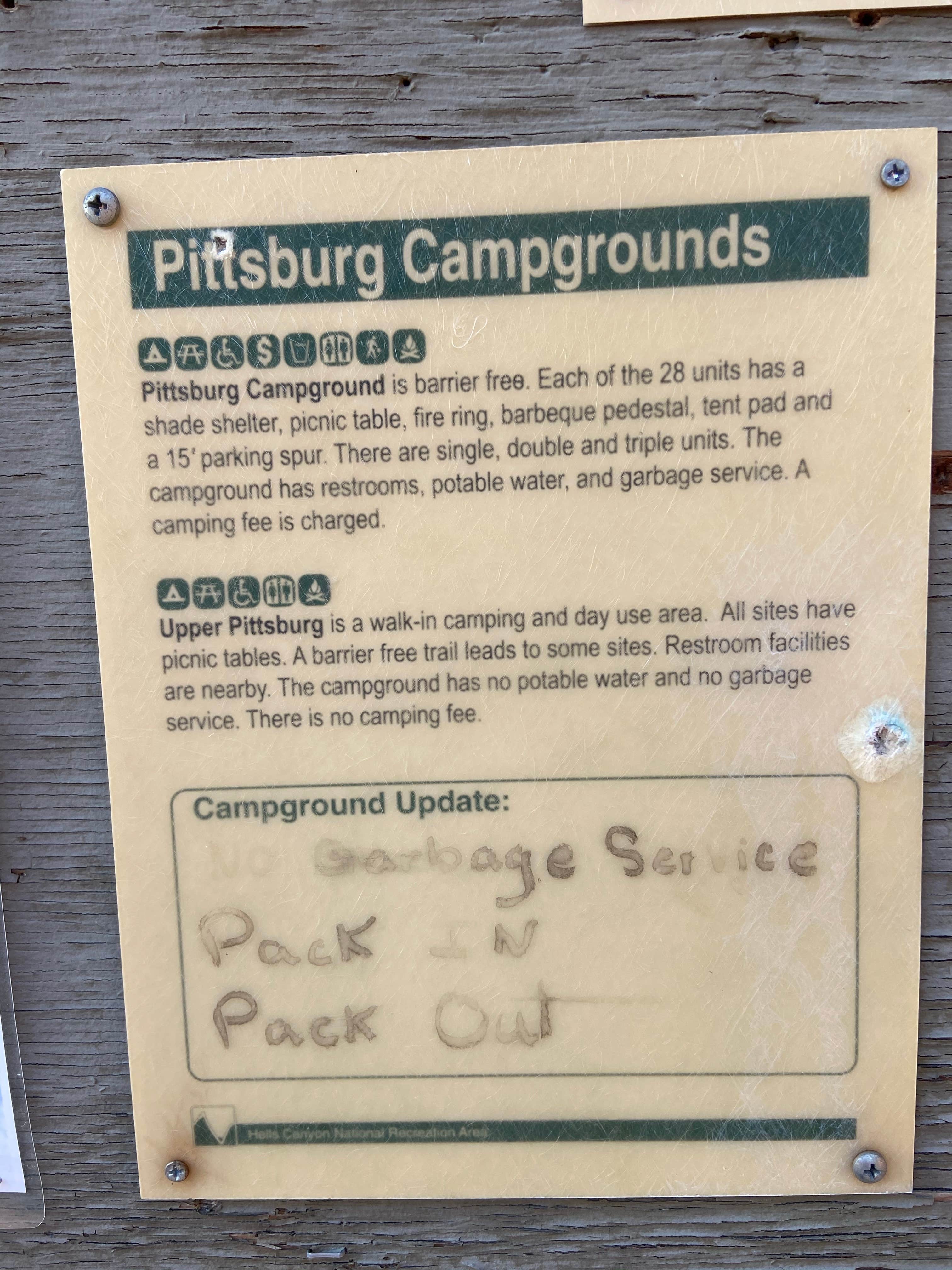
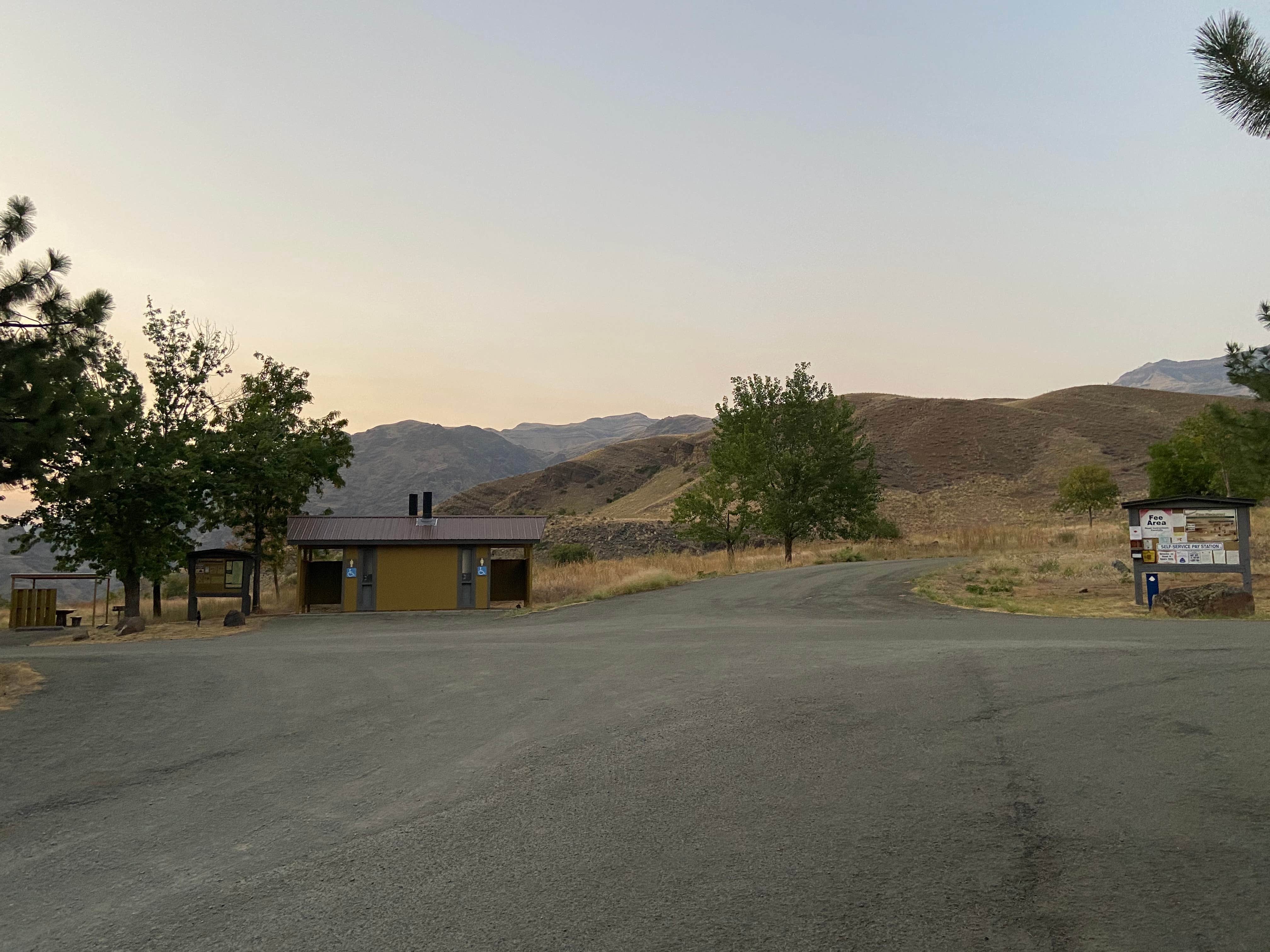
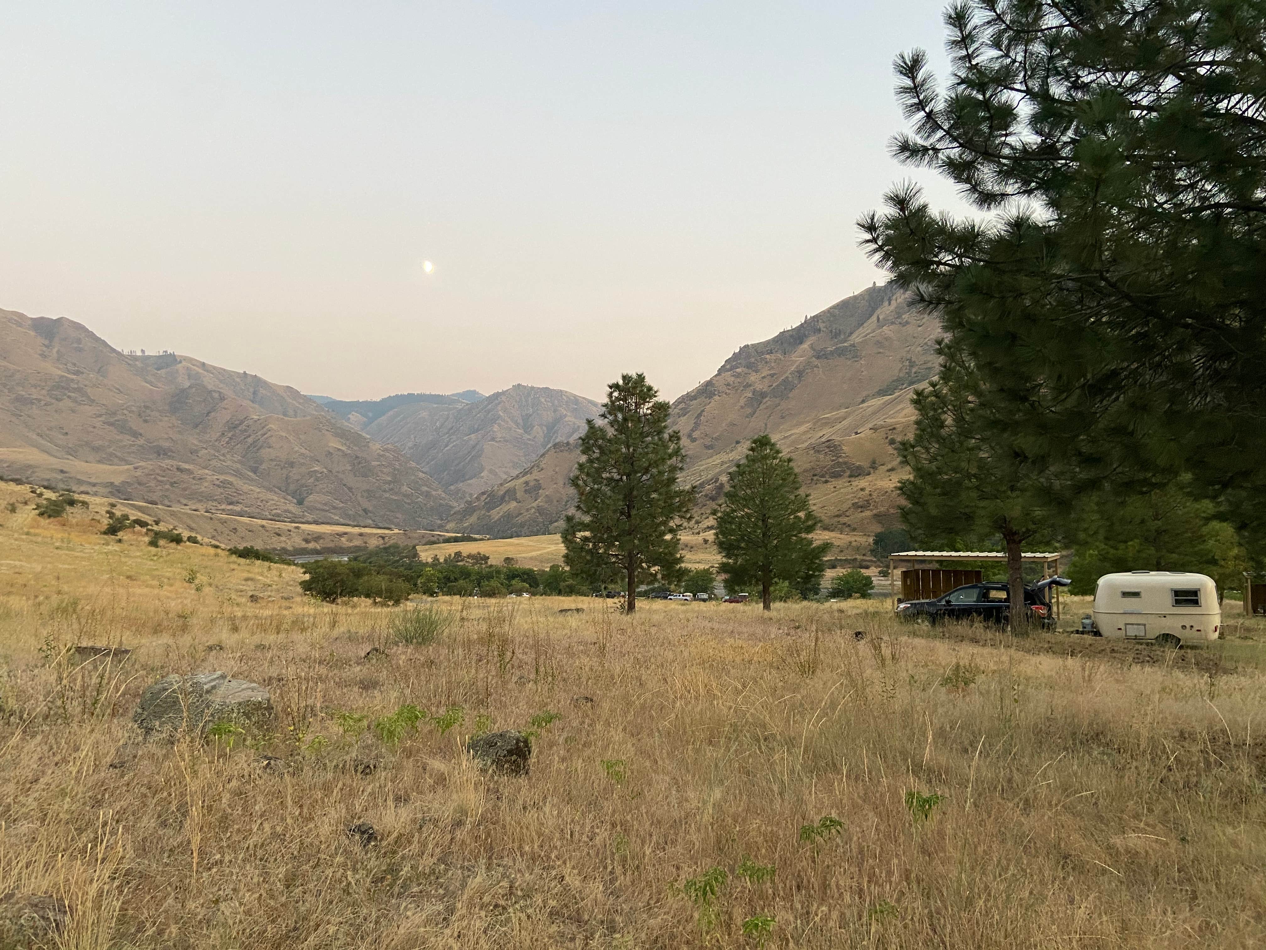
Pittsburg Campground overlooks the Wild and Scenic Snake River in the Hells Canyon National Recreation Area. This large facility is open year-round with__28 tent/trailer sites many of which can accommodate large RVs and trailers. The accessible facility has accessible campsites and toilets with paved roads and camp spurs.__Drinking water is available.__With access to the Snake River for fishing, boating, historic intepretation, exploring and hiking within minutes of the campground, the facility is popular throughout the year. The Deer Creek road is maintained by the County and is steep and narrow for the last few miles after entering into the Hells Canyon National Recreation Area.Pittsburg Landing Boat LaunchPittsburg Rockart Interpretive Site ***FIRE RESTRICTIONS ARE JUNE 1 THRU SEPTEMBER 30*** ***CHARCOAL FIRES IN FIRE PAN ONLY***
Location
Pittsburg Campground is located in Oregon
Directions
From White Bird, Idaho head south on Highway 95 for about 0.5 miles to Old Highway 95 at mile marker 222 (sign indicates Pittsburg Landing and Hammer Creek Recreation Area); Turn right on Old Highway 95 and go about 1 mile to the bridge crossing the Salmon River; Turn left and cross the bridge; Immediately after the bridge turn left on the Deer Creek Road (also known as Forest Road 493); Travel on the Deer Creek Road for 17.5 miles to\_\_the Campground.From Riggins, Idaho head north on Highway 95 for about 27 miles to Old Highway 95 at mile marker 222 (sign indicates Pittsburg Landing and Hammer Creek Recreation Site); Turn left on Old Highway 95 and go about 1 mile to the bridge crossing the Salmon River; Turn left and cross the bridge; Immediately after the bridge turn left on the Deer Creek Road (also known as Forest Road 493); Travel on the Deer Creek Road for 17.5 miles to the Campground.Advisory: The Deer Creek Road and Forest Road 493 is a steep, narrow, winding\_\_gravel road. Large RV and vehicles with trailers must use extreme caution.
Coordinates
45.635533793 N
116.477585809 W
Connectivity
- T-MobileNo Coverage
- VerizonNo Coverage
- AT&TNo Coverage
Connectivity
- T-MobileNo Coverage
- VerizonNo Coverage
- AT&TNo Coverage
Access
- Drive-InPark next to your site
- Walk-InPark in a lot, walk to your site.
Site Types
- Tent Sites
- RV Sites
- Standard (Tent/RV)
Features
For Campers
- Trash
- Drinking Water
- Toilets
- Alcohol
For Vehicles
- Sanitary Dump
Drive Time
- 2 hrs 27 min from Lewiston, ID
- 4 hrs 14 min from Walla Walla, WA
- 4 hrs 14 min from Boise, ID
- 4 hrs 46 min from Kennewick, WA

