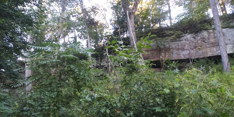
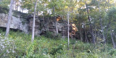
Sand Hill Trailhead in Ohio offers a terrain characterized by rolling hills and forested areas. Temperatures range from lows of 20°F in winter to highs of 85°F in summer. Nearby, visitors can explore the Wayne National Forest and the Ohio River, providing opportunities for hiking and water activities.
Description
This trailhead is part of the Lake Vesuvius Horse Trail System. The Lake Vesuvius horseback trails system 46.66 miles long and is composed of 9 trails, 4 trailheads, and one horse campground. The Lake Vesuvius horse trails wind through some of the most striking landscapes in Ohio. They will lead you through a variety of vegetation where many species of wildlife live. You will ride along rock cliffs, water falls, streams and along ridge tops. Expect to see open fields, brushland, mature forest, and young forests. Along the way, you will notice man's influence and land management activities.
RV Road Trip Guides


Map & DirectionsSand Hill Trailhead is located in Ohio near Pedro
Directions
To find this campground and trailhead from Ironton, OH: Take SR 93 north out of Ironton for approximately 7 miles. Turn right at the Lake Vesuvius Sign and travel approximately 3 miles on County Road 29.
Coordinates
38.61164504 N
82.6086914 W
Connectivity
 T-Mobile5GExcellent CoverageVerified by 3 usersLast on 7/9/26
 VerizonLTESome Coverage
- AT&T5GExcellent CoverageVerified by 1 userLast on 7/9/26
Connectivity
- T-Mobile5GExcellent CoverageVerified by 3 usersLast on 7/9/26
- VerizonLTESome Coverage
- AT&T5GExcellent CoverageVerified by 1 userLast on 7/9/26
Access
- Hike-InBackcountry sites.
Site Types
- Dispersed
Features
For Campers
- Pets
- Fires
DISPERSED CAMPING
Enjoy dispersed camping on government land and leave no trace. Pack in and pack out. No (or limited) services at this camping area. Permit may be required.
PERMIT might be REQUIRED
We curate permit requirements across the US for our PRO members. Try PRO to see if Sand Hill Trailhead needs a permit.
Drive Time
- 31 min from Huntington, WV
- 1 hr 56 min from Parkersburg, WV
