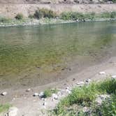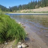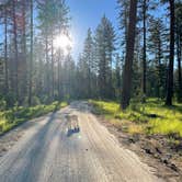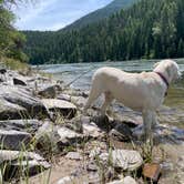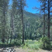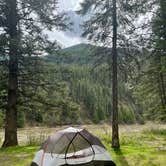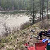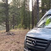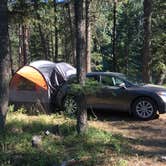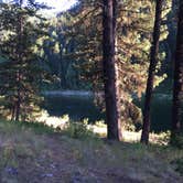
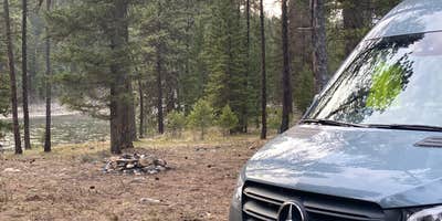

National Forest Recreation Area - Peninsula, near Thompson Falls, Montana, is a fantastic spot for those looking to escape into nature without breaking the bank. This area offers a beautiful, secluded experience with plenty of privacy between sites, making it ideal for campers who appreciate a little space.
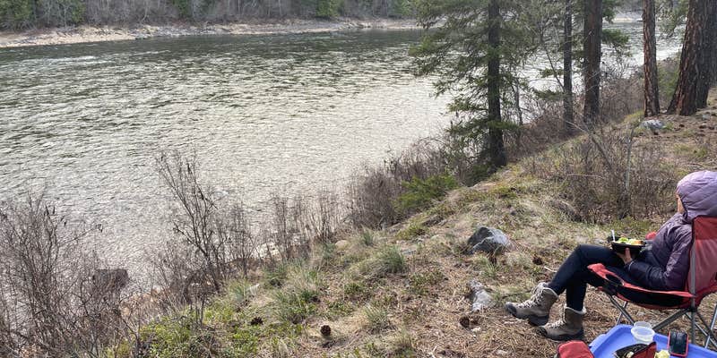
The location is right by the Clark Fork River, providing stunning views and opportunities for some peaceful riverside relaxation. Visitors have noted that while there are no amenities like drinking water or electric hookups, the natural beauty and tranquility more than make up for it. As one camper put it, “We loved this spot! It was super quiet minus the sound of the river.”
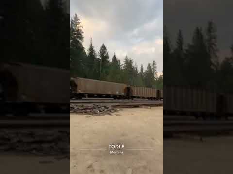
If you’re up for a little adventure, there are trails nearby that lead to great spots along the water. Just keep in mind that the train tracks are close by, so you might hear the occasional train passing through, but many find it adds to the charm of the area.
With no reservations required and a laid-back vibe, this location is perfect for those who want to enjoy a rustic camping experience. Just remember to bring your own firewood and be prepared for a bit of a walk to the pit toilets. Whether you’re pitching a tent or parking your RV, the National Forest Recreation Area - Peninsula is a solid choice for a getaway in the great outdoors.
Description
12 dispersed camping sites with fire rings along the Clark Fork River near fishing, rafting, and swimming opportunities. No water or trash receptacles are available - Pack it in/Pack it out.
RV Road Trip Guides

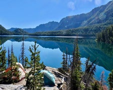
Map & DirectionsNational Forest Recreation Area is located in Montana near Paradise
Directions
From I-90 take St. Regis Exit 33, travel approximately 11.5 miles northeast on Highway 135 and turn right and follow the road to the campsites. From Highway 200 turn southwest onto Highway 135 and travel 10.5 miles, passing Ferry Landing, and turn left into the Peninsula area following road signs. [Interactive Forest Visitor Map](https://www.fs.fed.us/ivm/index.html?minx=-12803046&miny=5990691&maxx=-12782427&maxy=6003341&exploremenu=no)
Coordinates
47.34269133 N
114.90838718 W
Connectivity
 T-MobileNo Coverage
 VerizonLTESome Coverage
- AT&TLTESome Coverage
Connectivity
- T-MobileNo Coverage
- VerizonLTESome Coverage
- AT&TLTESome Coverage
Access
- Drive-InPark next to your site
- Walk-InPark in a lot, walk to your site.
Site Types
- Tent Sites
- RV Sites
- Standard (Tent/RV)
- Group
Features
For Campers
- Phone Service
- Toilets
- Alcohol
- Pets
- Fires
For Vehicles
- Pull-Through Sites
- Big Rig Friendly
FREE established camping
Enjoy camping on government land. Limited or no services at this camping area.
PERMIT might be REQUIRED
We curate permit requirements across the US for our PRO members. Try PRO to see if National Forest Recreation Area - Peninsula needs a permit.
Drive Time
- 1 hr 8 min from Missoula, MT
- 1 hr 39 min from Coeur d'Alene, ID
- 2 hrs 8 min from Spokane, WA
- 3 hrs 34 min from Lewiston, ID