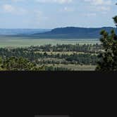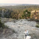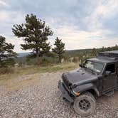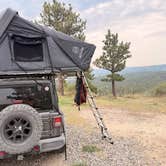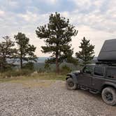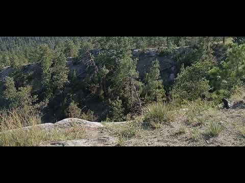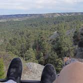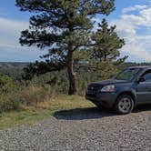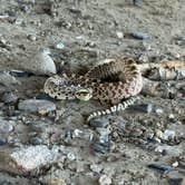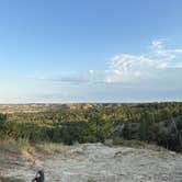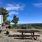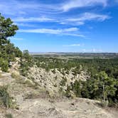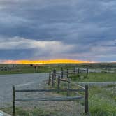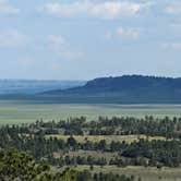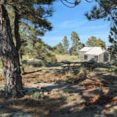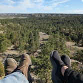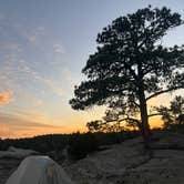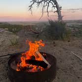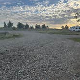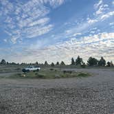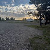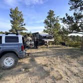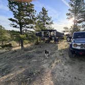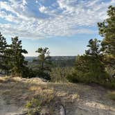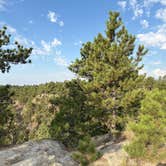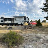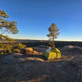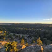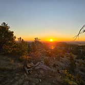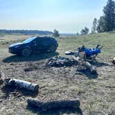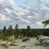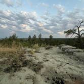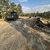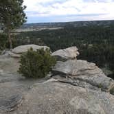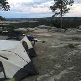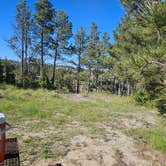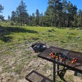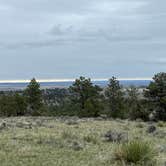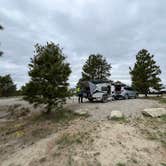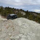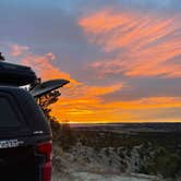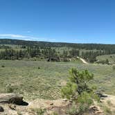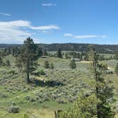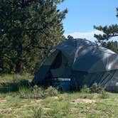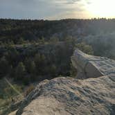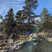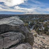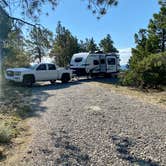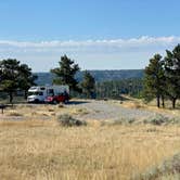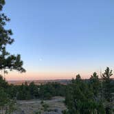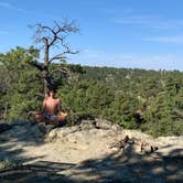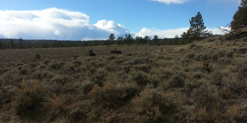
About 20 miles outside of Billings, the gravel roads leading to Acton Recreation Area give way to sandstone bluffs, ponderosa pines, and open sightlines across a broad valley, a landscape shift that catches first-time visitors off guard after miles of flat farmland. The BLM-managed dispersed area sits within a network of numbered sites, most equipped with fire rings and picnic tables, spread across terrain that ranges from exposed ridgeline to tree-shaded pockets further back from the entrance.
The sites vary considerably depending on how far in you're willing to drive. Sites 1 through 10 cluster fairly close together near the entrance, while spots further back, some as far as a mile in, provide considerably more separation from neighbors. Site 3 overlooks a gorge below. Site 14 has trail access within 10 yards. The vault toilets near the entrance draw consistent praise, with multiple recent visitors noting they were among the cleanest they'd encountered. One camper reported finding a local artist painting murals inside. July visitors should note the lack of shade at many sites makes midday heat a real factor.
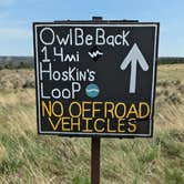
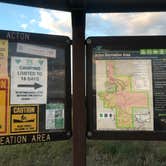
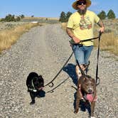
Mountain biking and hiking are the primary draws. A trailhead map near the entrance shows routes at three difficulty levels, and the "Owl Be Back" trail through sandstone outcroppings gets specific mentions. Coyotes are audible at night, and hunters use the area in fall. There's no water on site. Bring all you need.
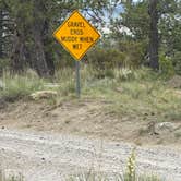
The access road deserves attention. Roughly six miles of dirt road lead in, with noticeable washboard in the final mile. Past site 10, beyond a green gate, the road narrows and steepens, and most reviewers advise against taking trailers or low-clearance vehicles further. Brodie B. notes simply: "No water at all, come prepared." Starlink users report clear line-of-sight, and cell service is listed as available, which has made the spot workable for remote workers doing longer stays. Trash left by previous visitors shows up in reviews with some regularity, so conditions vary by site.
Acton Recreation Area is free, first-come first-served, and sees relatively light use despite its proximity to a major city. It suits campers comfortable with rough road access, no on-site water, and a self-sufficient setup, particularly those who want trail access and open terrain without a fee or reservation.
Description
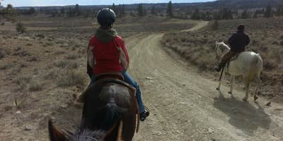
Map: https://www.blm.gov/sites/blm.gov/files/Acton_GeoRef_2019.pdf Located approximately 18 miles north of Billings, the Acton Recreation Area consists of an extremely diverse landscape. With Cretaceous Age upland bluffs of Eagle sandstone, minor badlands, steep drainages, weathered shale, and scattered ponderosa pine, this 3,800 acre parcel of land allows for many wildlife viewing opportunities. Open to camping, hiking, horseback riding, mountain biking, and hunting (during season), Acton provides multiple possibilities for use year-round. About 6.6 miles of mapped roads are open for motorized use. The Acton Recreation Area is located within the Hoskins Basin Archaeological District, an area containing the remains of both conical and cribbed aboriginal wooden dwellings. Both types are increasing rarities on the northwest plains. Reports of early explorers indicated that dwellings of this type were once common. Due to loss through natural causes (weathering, floods, and fire), many of the structures have been lost. Their use for firewood and fence posts account for other losses. Distribution of the both the cribbed and conical dwellings is quite limited. The cribbed type is reported to have been spotted only from south-central Montana to northern Wyoming. The conical types have a wider range but are not as common in southcentral Montana as the cribbed. Only a limited number of these dwellings are known to exist. Sites with both types represented are fewer still. No off-road motorized vehicle use is permitted to protect the archaeological sites and wildlife habitat.
RV Road Trip Guides

Map & DirectionsActon Recreation Area is located in Montana near Acton
 Dispersed Camping
Directions
Take Highway 3 north past the town of Acton. Take a right onto Oswald Road, which is located between mile marker 18 and 19. Continue 6.5 miles until Haeg Road and take a right. About 2.5 miles farther is the parking lot and entrance to the Acton Recreation Area.
Coordinates
46.04232432 N
108.66066182 W
Connectivity
 T-Mobile5GGood CoverageVerified by 2 usersLast on 10/3/26
 VerizonLTESome CoverageVerified by 2 usersLast on 10/3/26
 AT&T5GExcellent CoverageVerified by 9 usersLast on 10/3/26
Connectivity
- T-Mobile5GGood CoverageVerified by 2 usersLast on 10/3/26
- VerizonLTESome CoverageVerified by 2 usersLast on 10/3/26
- AT&T5GExcellent CoverageVerified by 9 usersLast on 10/3/26
Access
- Drive-InPark next to your site
- Walk-InPark in a lot, walk to your site.
Site Types
- Dispersed
Features
For Campers
- Picnic Table
- Firewood Available
- Phone Service
- Toilets
- Alcohol
- Pets
- Fires
For Vehicles
- Pull-Through Sites
- Big Rig Friendly
DISPERSED CAMPING
Enjoy dispersed camping on government land and leave no trace. Pack in and pack out. No (or limited) services at this camping area. Permit may be required.
PERMIT might be REQUIRED
We curate permit requirements across the US for our PRO members. Try PRO to see if Acton Recreation Area needs a permit.
Drive Time
- 29 min from Billings, MT
- 2 hrs 28 min from Bozeman, MT
- 3 hrs 14 min from Great Falls, MT
- 3 hrs 15 min from Helena, MT