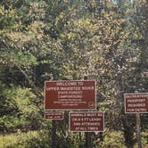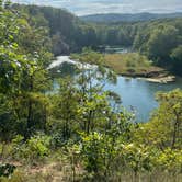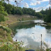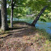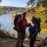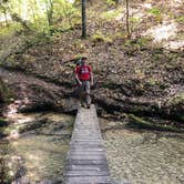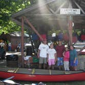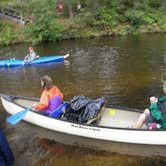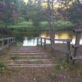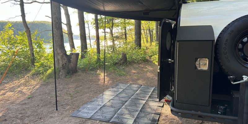
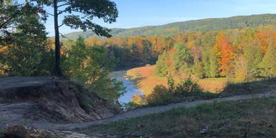
Paddlers and anglers have multiple ways to reach Upper Manistee River Campground: by car, on foot, or by floating directly to a riverside site and dragging the boats ashore. That last option makes this campground a natural stopping point along multi-day canoe and kayak runs on the Manistee River, with sites positioned close enough to the water that gear doesn't have to travel far. The river itself runs slow under normal conditions, though Dave V. notes that after heavy rain "the sleepy river was moving pretty swiftly," something paddlers should factor into trip planning.
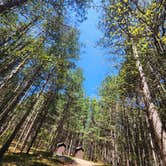
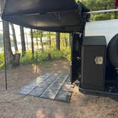
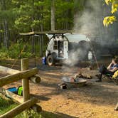
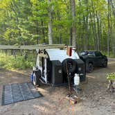
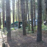
Sites sit on sandy ground surrounded by tall pines and ferns, which means rain drains quickly with little mud or standing water. Walk-in and boat-in tent sites are more open and less shaded than the forested drive-in sites, each cluster served by its own vault toilet and hand pump. Reviewers consistently rate the pit toilets among the cleanest they've encountered at state forest campgrounds. Biting flies are worth noting near the river, particularly in late June. An ORV trail runs nearby, and road noise from that corridor can reach the campground, especially during busier periods.
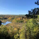
Fall draws visitors for the foliage along the river corridor. Labor Day weekend brings crowds, and first-come, first-served availability means arriving early matters. Weekdays tend to run quieter, with more sites open. The campground sits within the Kirtland Warbler Unit Manistee, and campers interested in camping near Kirtland Warbler Unit Manistee will find additional options spread across the surrounding state forest land. Manistee River Bridge Campground lies further downstream for those planning a longer float-and-camp itinerary.
Nightly rates run $15 to $20, with electric hookups available for rigs up to 20 feet. Drinking water, picnic tables, a dump station, and ADA-accessible facilities round out the amenities. Verizon coverage has been confirmed by at least one recent visitor. This campground works best for paddlers running the Manistee River, anglers targeting the river corridor, and campers who want water access without a long walk from their site.
RV Road Trip Guides

Map & DirectionsUpper Manistee River is located in Michigan near Frederic
 Public Campground
Coordinates
44.75027796 N
84.83929236 W
Connectivity
 T-MobileLTESome Coverage
- VerizonLTESome CoverageVerified by 4 usersLast on 5/14/26
 AT&TNo Coverage
Connectivity
- T-MobileLTESome Coverage
- VerizonLTESome CoverageVerified by 4 usersLast on 5/14/26
- AT&TNo Coverage
Access
- Drive-InPark next to your site
- Walk-InPark in a lot, walk to your site.
- Hike-InBackcountry sites.
- Boat-InSites accessible by watercraft.
Site Types
- Tent Sites
- RV Sites
- Standard (Tent/RV)
- Group
Features
For Campers
- ADA Access
- Trash
- Picnic Table
- Phone Service
- Drinking Water
- Electric Hookups
- Toilets
- Alcohol
- Pets
- Fires
For Vehicles
- Sanitary Dump
- Pull-Through Sites
Drive Time
- 48 min from Traverse City, MI
- 1 hr 30 min from Midland, MI
- 1 hr 32 min from Bay City, MI
- 1 hr 42 min from Saginaw, MI