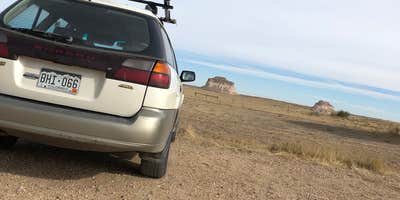
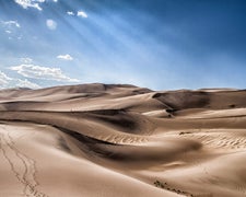
Wind sweeps across the open grassland as campers settle into dispersed sites scattered along the gravel roads leading to Pawnee Buttes Trailhead. This free camping area within Pawnee National Grassland operates under Forest Service management, offering multiple pullouts where RVs up to about 22 feet can find level ground among the rolling prairie terrain.
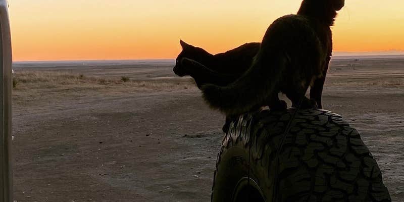
The camping experience centers on wide-open views and big sky country, though industrial elements dot the horizon. Oil pumps, fracking operations, and wind turbines occupy the surrounding landscape, creating a mixed backdrop that some visitors find intrusive. Scott B. notes the sites have "wonderful views of the grasslands and the buttes" but warns that "no matter where you look you'll see something along the horizon" regarding industrial activity. Cell coverage varies significantly by location, with some spots providing strong signals while others drop to 3G or lose service entirely.
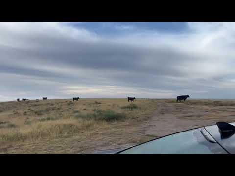
Cattle graze freely throughout the area and regularly wander through campsites, adding an authentic ranch atmosphere that most campers find entertaining rather than problematic. The Pawnee Buttes Trail provides the main hiking opportunity, though access to the buttes themselves closes from May 1 through June 30 for wildlife protection. Year-round vault toilets at the trailhead parking area serve the dispersed camping zones.
Road conditions present the primary access consideration, with several deep ruts and rough patches along the gravel routes. Most standard vehicles handle the drive, though high-clearance vehicles perform better during wet conditions or winter snow. "Very windy" conditions dominate the area year-round, making this location challenging for tent camping but manageable for RVs and car camping setups.
Campers seeking more developed facilities can find options at Pawnee Butte View, located just over a mile southeast with additional amenities.
Description
Dispersed camping is also allowed on the Pawnee National Grassland, year-round. This provides an alternative to campground camping for those who want to experience the grassland the way people did in the past. No fee required. A Motor Vehicle Use Map will help you determine if you are on private or public land.
RV Road Trip Guides

Map & DirectionsPawnee Buttes is located in Colorado near Grover
Coordinates
40.821823760000015 N
104.00042928000002 W
Connectivity
 T-Mobile5GExcellent Coverage
 VerizonNo CoverageVerified by 1 userLast on 3/12/26
 AT&TLTESome Coverage
Connectivity
- T-Mobile5GExcellent Coverage
- VerizonNo CoverageVerified by 1 userLast on 3/12/26
- AT&TLTESome Coverage
Access
- Drive-InPark next to your site
- Walk-InPark in a lot, walk to your site.
Site Types
- Tent Sites
- RV Sites
- Dispersed
- Group
Features
For Campers
- ADA Access
- Picnic Table
- Phone Service
- Reservable
- Toilets
- Alcohol
- Pets
- Fires
DISPERSED CAMPING
Enjoy dispersed camping on government land and leave no trace. Pack in and pack out. No (or limited) services at this camping area. Permit may be required.
PERMIT might be REQUIRED
We curate permit requirements across the US for our PRO members. Try PRO to see if Pawnee Buttes - Dispersed Camping needs a permit.
Drive Time
- 1 hr 11 min from Cheyenne, WY
- 1 hr 26 min from Greeley, CO
- 1 hr 35 min from Fort Collins, CO
- 2 hrs 11 min from Boulder, CO