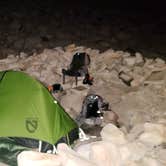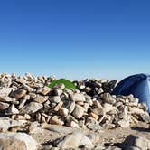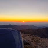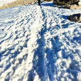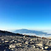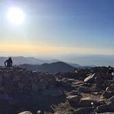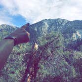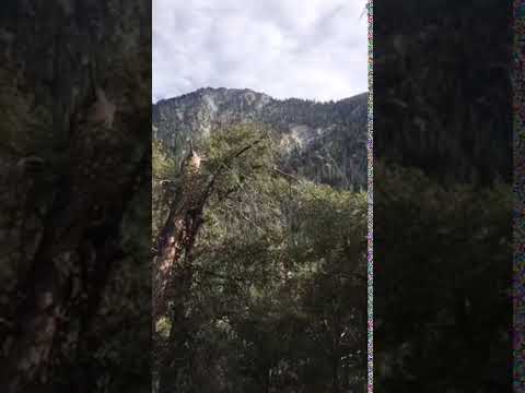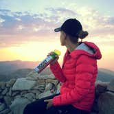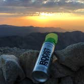
San Bernardino National Forest reaches its highest point at San Gorgonio Summit Camp, a free, hike-in dispersed site sitting at 11,501 feet on the tallest peak in Southern California. Getting here requires a serious commitment: the Vivian Creek Trail gains roughly 5,840 feet over about nine miles, and the final stretch at altitude moves slowly. Campers interested in primitive camping near San Bernardino National Forest will find few options this high or this exposed.
The "sites" here are not conventional. Previous campers have arranged rocks into low circular barriers, roughly hotel-room-sized, to block the wind that routinely gusts above 40 mph. Inside each barrier, the ground is mostly sandy dirt, which makes tent setup more forgiving than rocky alpine terrain typically allows. There are roughly four sites on the north side of the summit, overlooking Joshua Tree, Big Bear Lake, and the Crestline area, and another four or so to the east with sightlines toward San Jacinto Mountain, Palm Springs, and the Inland Empire. On a clear day, visibility reportedly extends to Mount Whitney.
Water is the most critical planning factor. Brittany N. notes that "water does need to be filtered," and the last reliable source is at High Creek Camp - San Gorgonio Wilderness, roughly three to four miles below the summit. Crowds are generally light at the top, though the trail itself sees regular use on weekends. Arriving before dark is strongly advisable given the altitude, wind, and exposed terrain.
Description
Limited, but free wilderness permits for day hiking and overnight camping are required for the San Gorgonio Wilderness and the Cucamonga Wilderness Permits – they are issued by the San Gorgonio Wilderness Association, a Forest Service partner. Parts of the San Gorgonio Wilderness, including the San Bernardino Peak Trail, are still closed due to the El Dorado fire.
Upon completion of your reservation request. you will receive a download. Please retain this download as your permit reservation. You may keep a copy on your phone and show it to a ranger as verification of your permit or you can print it out. If you do not receive a permit use the contact link here: https://www.sgwa.org/contact-us
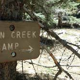
The Vivian Creek Trail is the shortest and the steepest route to the summit of Mt. San Gorgonio, located in the San Gorgonio Wilderness on the Sand to Snow National Monument. One and two-tenths miles from the trailhead is Vivian Creek Camp (7,100'). Campsites are located upslope to the right of the trail after reaching the stream: one is halfway up the slope, and the other is at the top of the slope (no camping within 200 feet of the trail or creek). One and three-tenths miles from Vivian Creek Camp is Halfway Camp (8,100'). Water is obtained from the creek 200 yards before camp. Two and three-tenths miles further is High Creek Camp (water available - 9,200'). The summit of San Gorgonio (11,499') is 3 miles beyond High Creek. The upper end of this trail offers outstanding views of Yucaipa Ridge and Galena Peak, as well as sweeping panoramic views from the top of Mt. San Gorgonio. General info: No water available. No campfires allowed. Portable gas stoves are allowed with a valid California Campfire Permit. No camping within 200 feet of the trail or creek Wilderness Permit Required - this is a very popular trail, especially on summer weekends. It is suggested you request your permit in advance. Wilderness Permit applications are accepted up to 90 days in advance of your trip. Permits can be obtained from sgwa.org. Fee: Adventure Pass Required $5/day or $30/year. Interagency Passes also accepted.
Warning 1 Alert is In Effect
There is 1 alert for this campground. Camp safely!
Warning 1 Alert is In Effect
There is 1 alert for this campground. Camp safely!
Air Quality at this campground may currently be unhealthy. Please check with the campground before making a reservation.
RV Road Trip Guides

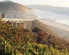
Map & DirectionsSan Gorgonio Summit Camp is located in California near Forest Falls
Directions
The trailhead is reached by turning east off Highway 38 to Forest Falls.
Coordinates
34.09916438473009 N
116.82479710185646 W
Connectivity
 T-Mobile5GExcellent Coverage
 VerizonLTESome Coverage
- AT&TLTESome Coverage
Connectivity
- T-Mobile5GExcellent Coverage
- VerizonLTESome Coverage
- AT&TLTESome Coverage
Access
- Hike-InBackcountry sites.
Site Types
- Dispersed
Features
For Campers
- Alcohol
- Pets
DISPERSED CAMPING
Enjoy dispersed camping on government land and leave no trace. Pack in and pack out. No (or limited) services at this camping area. Permit may be required.
PERMIT might be REQUIRED
We curate permit requirements across the US for our PRO members. Try PRO to see if San Gorgonio Summit Camp needs a permit.
Drive Time
- 2 hrs 27 min from Los Angeles, CA
- 2 hrs 58 min from San Diego, CA
- 3 hrs 13 min from Oxnard, CA
- 3 hrs 26 min from El Centro, CA