Public Campground
Reyes Peak Campground
Reyes Peak Campground is located in Los Padres National Forest, featuring rugged terrain with dense forest and mountain views. Temperatures can range from 30°F in winter to 85°F in summer. Nearby attractions include the Piedra Blanca Formations and the Sespe Wilderness, offering hiking and exploration opportunities.
Description
Overview
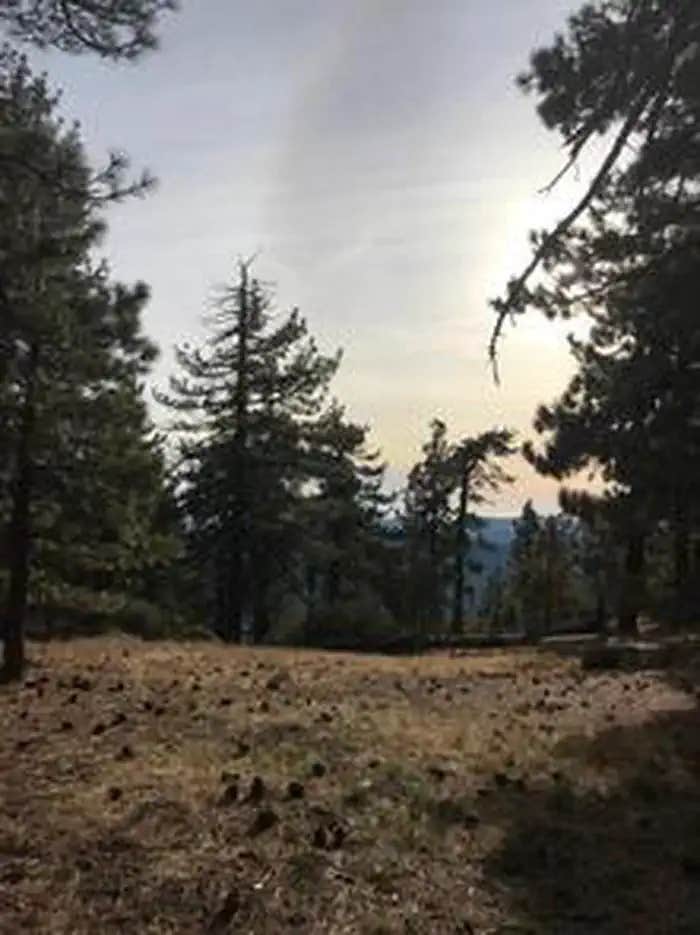
At an elevation of 7,000 feet, Reyes Peak Campground, rises above the Sespe Wilderness and is situated along a ridge with spectacular views of the Cuyama Badlands on one side and the Pacific Ocean from the other side. On clear days you can even see some of the Channel Islands!
Recreation
Several trails leave the Reyes Peak Campground area. Chorro Grande Trail is located at the gate just past the last campsite. Raspberry Spring Trail will lead you north on a short one-half mile walk through the pines. It starts at the parking area on the western edge of the campground. The Reyes Peak Trail (23W04) is moderately difficult. It leads eastward into the Sespe Wilderness for 5.8 miles to the Gene Marshall-Piedra Blanca National Recreation Trail (22W03). Remember, no mountain bikes are allowed in the wilderness.
Facilities
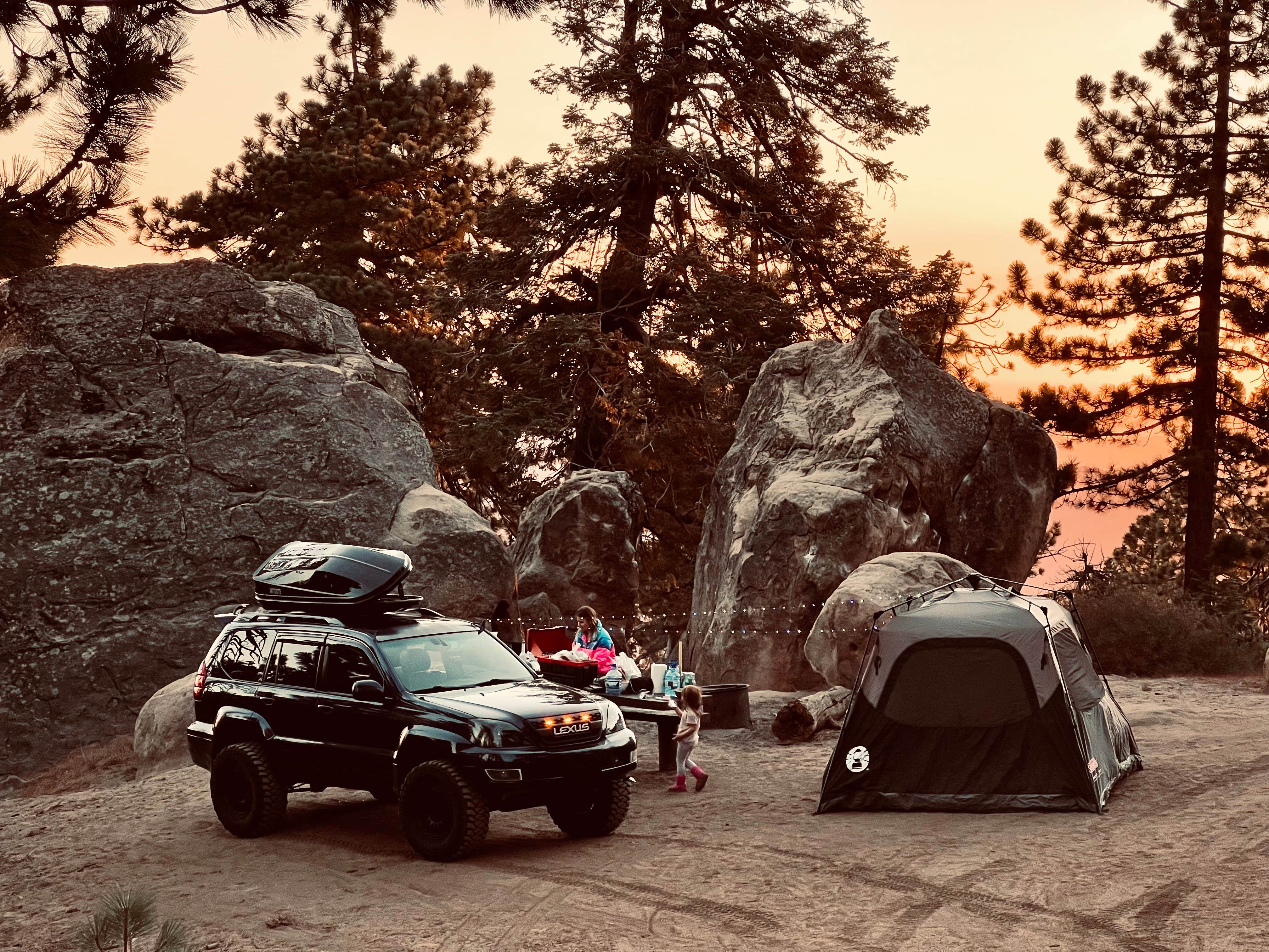
Reyes Peak consists of six campsites situated along the southwest side of the ridge. Each campsite contains a table, barbecue grill and a fire ring. There is one pit toilet located near the first few campsites. No water is available at Reyes Peak. Make sure you bring plenty of water for your stay.
Natural Features
The landscape includes Jeffrey pines, sugar pines, white fir and ponderosa pines. Wildflowers are abundant in the spring and early summer. Be dazzled by lupine, false lupine, scarlet bugler and many others. Keep your eyes open for red-tailed hawks soaring above the trees. If you are lucky, you may see a California condor! Other birds in the area include woodpeckers and chickadees. Deer, bear, and coyote also live in the area.
Nearby Attractions
Hiking trails, biking and fishing are within 30 minutes. Take a day trip south along Hwy 33 to the Rose Valley Road (6N31) to the Piedra Blanca trailhead where three trails can be accessed, all located across Sespe Creek. The Gene Marshall-Piedra Blanca National Recreation Trail (22W03) in the Sespe Wilderness will lead you to nearby massive white rocks, called Piedra Blanca! It is an easy walk for the first three miles. A principal attraction to this section of the Sespe is Rose Valley Falls. This trail to the falls begins just before you enter Rose Valley Campground. Follow it for a short half-mile and you will be at the base of the falls. The cliffs at the falls are arkosic sandstone and crumble easily, so tread lightly. Rose Valley Falls is the tallest waterfall in the range and while it is an easy hike to the base of the 100-foot tall lower tier of the waterfall (0.8 miles round trip with 150 feet of elevation gain), it is adventure to reach the more impressive upper tier. Please do not climb around on steep sections or get close to the edge. You will need to park outside Rose Valley Campground to hike the trails. Another trail, the Sespe River Trail (20W13) will lead you downstream into the Sespe Wilderness. You will find some swimming holes along this walk. Remember, no mountain bicycles allowed on wilderness trails. If you would like to go on a mountain bicycle ride, take the Middle Sespe Trail (22W04) that leads up river eight miles to the west to Middle Sespe Trailhead.
Location
Reyes Peak Campground is located in California
Directions
Follow Highway 33 to the turnoff at Pine Mountain Summit (6N06) which is at mile marker 42.50. Turn right and follow the partially paved road another 5.7 miles. The total distance from Ojai Ranger Station Reyes Peak is 39 miles.
Coordinates
34.6381 N
119.3161 W
Connectivity
- T-MobileNo Coverage
- VerizonLTESome Coverage
- AT&TLTESome Coverage
Connectivity
- T-MobileNo Coverage
- VerizonLTESome Coverage
- AT&TLTESome Coverage
Access
- Drive-InPark next to your site
- Walk-InPark in a lot, walk to your site.
Site Types
- Tent Sites
- Standard (Tent/RV)
Features
For Campers
- Picnic Table
- Reservable
- Toilets
- Alcohol
- Pets
- Fires
Drive Time
- 1 hr 33 min from Oxnard, CA
- 1 hr 34 min from Bakersfield, CA
- 1 hr 46 min from Santa Maria, CA
- 2 hrs 18 min from Los Angeles, CA


