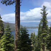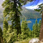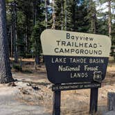
Day hikers and trail traffic define the daytime experience at Bayview Campground, a 13-site Forest Service camp set directly across Highway 89 from the Inspiration Point overlook of Emerald Bay State Park. Trailheads for Cascade Falls and the Desolation Wilderness routes to Granite Lake start behind the sites, which means a steady flow of hikers passes through the campground throughout the day, particularly on weekends. The noise and foot traffic drop off noticeably after 6 p.m. The camp sits a short drive from camping near South Lake Tahoe, making it a practical staging point for exploring the western shore of the lake.
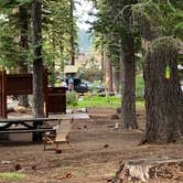
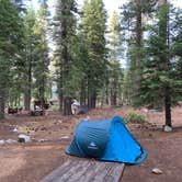
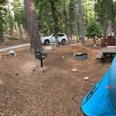
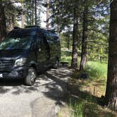
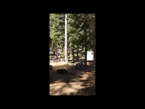
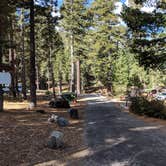
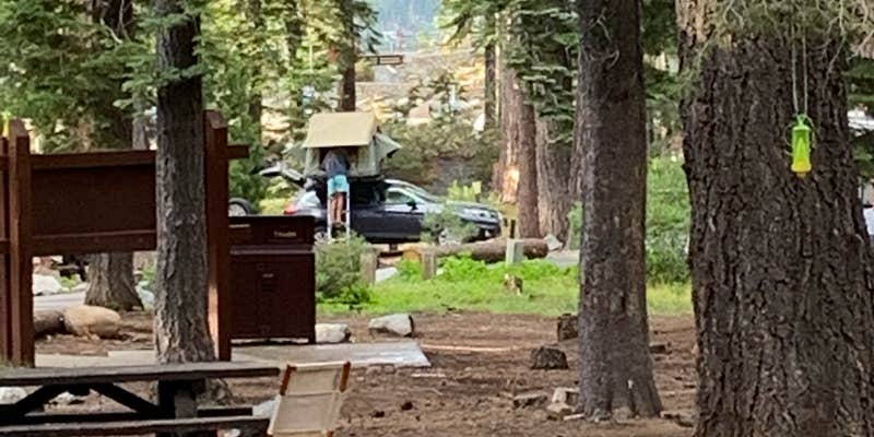
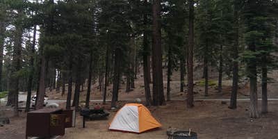
Sites are set among a grove of conifers that provide consistent shade. Each site includes a picnic table, fire ring, and bear box. Parking spaces run roughly 20 feet in length, which limits the camp to tent campers, small camper vans, and similar rigs. No RVs of any meaningful size will fit comfortably. There is no running water on site, so campers should arrive fully supplied.
Note that Bayview Campground is permanently closed, per the Lake Tahoe Basin Management Unit. Ian Q. notes the site "will be used as parking," likely serving the Inspiration Point overlook and nearby wilderness trailheads. Campers looking for comparable access to Desolation Wilderness trailheads and Emerald Bay views may want to check Emerald Bay State Park Campground or dog-friendly campgrounds near Eldorado National Forest as alternatives.
Description
AS OF 2024 - DAY USE ONLY
Bayview Campground is located near Emerald Bay and sits at an elevation of 7,100 feet. Opening and closing dates are dependant on the weather. Bayview Campground serves as a Trailhead for Desolation Wilderness. A Wilderness Permit is required to enter Desolation Wilderness. Day hikers may pick up a day-use permit at the self serve area at the Trailhead. Overnight hikers must obtain an overnight permit before arriving at the Trailhead. Campfires are only allowed in provided metal fire rings.
Map & DirectionsBayview Campground is located in California near South Lake Tahoe
 Public Campground
Directions
In South Lake Tahoe, CA, where US Rt. 50 and State Rt. 89 split into Rt. 50 east and Rt. 89 north, take Rt. 89 north (to Tahoe City) 7.7 miles to campground sign. Turn left at sign into campground.
Coordinates
38.94582278 N
120.09850975 W
Connectivity
 T-Mobile5GGood CoverageVerified by 7 usersLast on 9/19/26
 VerizonLTESome CoverageVerified by 2 usersLast on 7/19/26
- AT&TLTESome CoverageVerified by 2 usersLast on 9/19/26
Connectivity
- T-Mobile5GGood CoverageVerified by 7 usersLast on 9/19/26
- VerizonLTESome CoverageVerified by 2 usersLast on 7/19/26
- AT&TLTESome CoverageVerified by 2 usersLast on 9/19/26
Access
- Drive-InPark next to your site
- Boat-InSites accessible by watercraft.
Site Types
- Tent Sites
- RV Sites
- Standard (Tent/RV)
- Group
Features
For Campers
- ADA Access
- Trash
- Picnic Table
- Phone Service
- Reservable
- WiFi
- Showers
- Drinking Water
- Electric Hookups
- Toilets
- Alcohol
- Pets
- Fires
For Vehicles
- Sanitary Dump
- Sewer Hookups
- Water Hookups
Drive Time
- 52 min from Carson City, NV
- 1 hr 11 min from Reno, NV
- 1 hr 51 min from Sacramento, CA
- 2 hrs 19 min from Yuba City, CA