
The rough access road into Thompson Creek Trail Campsites winds through dense forest before reaching scattered primitive sites along Thompson Creek in the Sipsey Wilderness. This free Forest Service camping area attracts backpackers and tent campers willing to hike in for creek-side spots away from developed facilities.
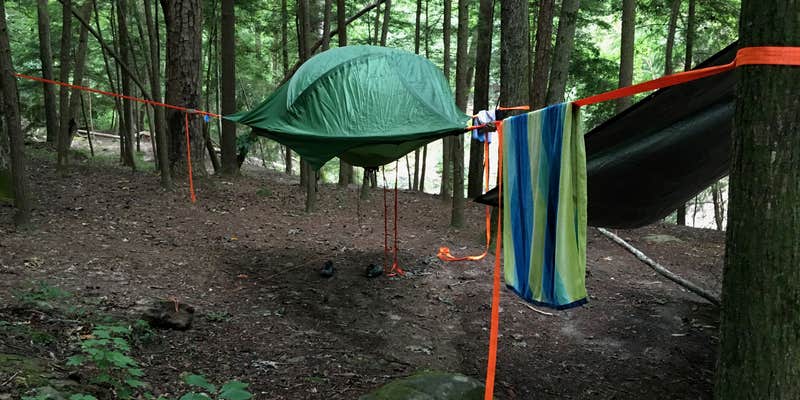
Multiple established campsites dot the trail corridor, each featuring fire rings built by previous visitors and space for two to three tents. Aaron S. notes "as the trail follows Thompson's Creek, it is next to all of the campsites," with most sites positioned near moss-covered boulders and rock formations. The creek provides a constant water source, though levels vary seasonally. Campers report finding waterfalls during wet periods, while dry spells can reduce flow significantly.
Access requires navigating muddy potholes and rough terrain that challenges some vehicles. One reviewer managed the route in a van despite conditions, while others recommend parking near the trailhead and walking to sites. The area sees steady day-hiker traffic, but overnight visitors can find quieter spots further from the main trail. Matthew P. describes campground number 4 as having "easy access to the river for clean drinking water and so quiet."
Cell service remains limited throughout the area. Campers should pack all supplies, as no facilities exist beyond the primitive fire rings. Some sites show evidence of previous visitors leaving trash, requiring extra attention to Leave No Trace principles. The creek offers cooling relief during hot summer months and opportunities for children to play in shallow areas.
For additional backcountry options, Sipsey Wilderness Backcountry Site (Trail 207 Site D) provides similar primitive camping nearby. Thompson Creek Trail Campsites works best for self-sufficient campers seeking creek access without amenities.
Description
Trail 206 snakes through a variety of terrain and passes by two of the Wilderness' better natural attractions – the rock formations known as Eye of the Needle and Ship Rock. Wildflowers adorn the creek-side portions of the trail during the spring. The low-lying sections along Thompson Creek and adjoining Whiteoak Hollow are popular camping areas.
RV Road Trip Guides


Map & DirectionsThompson Creek Trail Campsites is located in Alabama near Bankhead National Forest
Coordinates
34.32911968 N
87.46885355 W
Connectivity
 T-MobileNo Coverage
- VerizonNo Coverage
- AT&TNo Coverage
Connectivity
- T-MobileNo Coverage
- VerizonNo Coverage
- AT&TNo Coverage
Access
- Drive-InPark next to your site
- Walk-InPark in a lot, walk to your site.
Site Types
- Tent Sites
- Standard (Tent/RV)
- Group
Features
For Campers
- Alcohol
- Pets
- Fires
FREE established camping
Enjoy camping on government land. Limited or no services at this camping area.
PERMIT might be REQUIRED
We curate permit requirements across the US for our PRO members. Try PRO to see if Thompson Creek Trail Campsites needs a permit.
Drive Time
- 46 min from Decatur, AL
- 1 hr 2 min from Florence, AL
- 1 hr 5 min from Huntsville, AL
- 1 hr 28 min from Birmingham, AL


