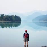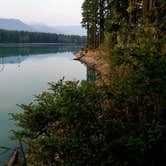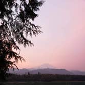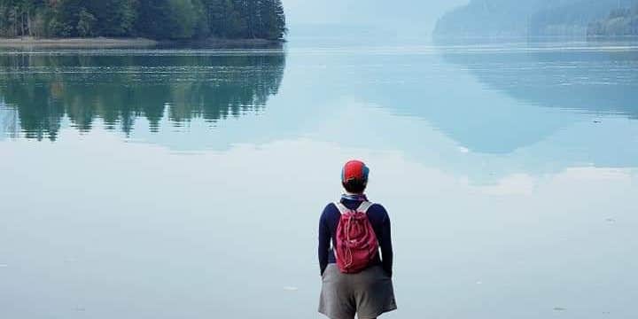
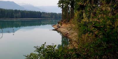
Mt. Baker-Snoqualmie National Forest holds Anderson Point Campsite along the shore of Baker Lake, where scattered sites sit beneath forest cover with open sightlines toward Koma Kulshan (Mt. Baker), an active, glacier-covered volcano. Access is hike-in only via the Baker Lake Trail, a short and easy route that makes this a workable first backpacking trip. Drinking water and toilets are on-site, and cell service is available. Weekends fill fast. Campers who prefer more solitude tend to arrive on weekdays, when sites are easier to secure. Those planning a trip can find places to camp near Mt. Baker National Forest through The Dyrt. Nearby established options include Horseshoe Cove Campground for those who want a drive-in alternative. Anderson Point works best for hikers comfortable with a pack-in setup who want direct lake access and views of the mountain.
Description
Anderson Point campsites are located on Baker Lake Trail.
This is a wonderful family hike for all seasons with its low elevation and level grade. Stands of giant old growth trees draped in lichen and covered in moss are some of the highlights along this trail. Baker Lake Trail is the only trail on Mt. Baker Ranger District open for stock and llama use year round. It can also be accessed at the north via Baker River Trail 606.
This trail leads into a majestic stand of Douglas fir that regrew after Mt. Baker erupted and started a forest fire in 1843. You can still see the burned snags of the cedar trees that once dominated the area. From south to north, the trail contours the eastern shoreline of Baker Lake, offering glimpses of Mt. Baker. All along the trail spot western trillium, twinflower, foamflower, coralroot and twisted stalk.
RV Road Trip Guides

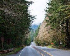
Map & DirectionsAnderson Point Campsite is located in Washington near Concrete
 Public Campground
Directions
From the Mt. Baker Ranger District office in Sedro-Woolley, WA follow State Route 20 east for 16 miles to milepost 82. Turn left (north) on the Baker Lake Highway (Forest Service Road 11). Continue for 14 miles to the Baker Dam Road and turn right. Drive past the Puget Sound Energy Kulshan Campground and across the Upper Baker Dam. After crossing the dam, turn left on FS Road 1107. Follow road 1107 for 1 mile and look for the trailhead and parking area on the left side of the road.
Coordinates
48.6650804473121 N
121.67208020392931 W
Connectivity
 T-MobileNo CoverageVerified by 4 usersLast on 10/14/26
- VerizonNo Coverage
- AT&TNo Coverage
Connectivity
- T-MobileNo CoverageVerified by 4 usersLast on 10/14/26
- VerizonNo Coverage
- AT&TNo Coverage
Access
- Hike-InBackcountry sites.
Site Types
- Tent Sites
Features
For Campers
- Phone Service
- Reservable
- Drinking Water
- Toilets
Drive Time
- 1 hr 13 min from Mount Vernon, WA
- 1 hr 26 min from Bellingham, WA
- 2 hrs 7 min from Seattle, WA
- 3 hrs 4 min from Bremerton, WA