Free Camping Collection
Dispersed Camping
Mount Rogers National Recreation Area
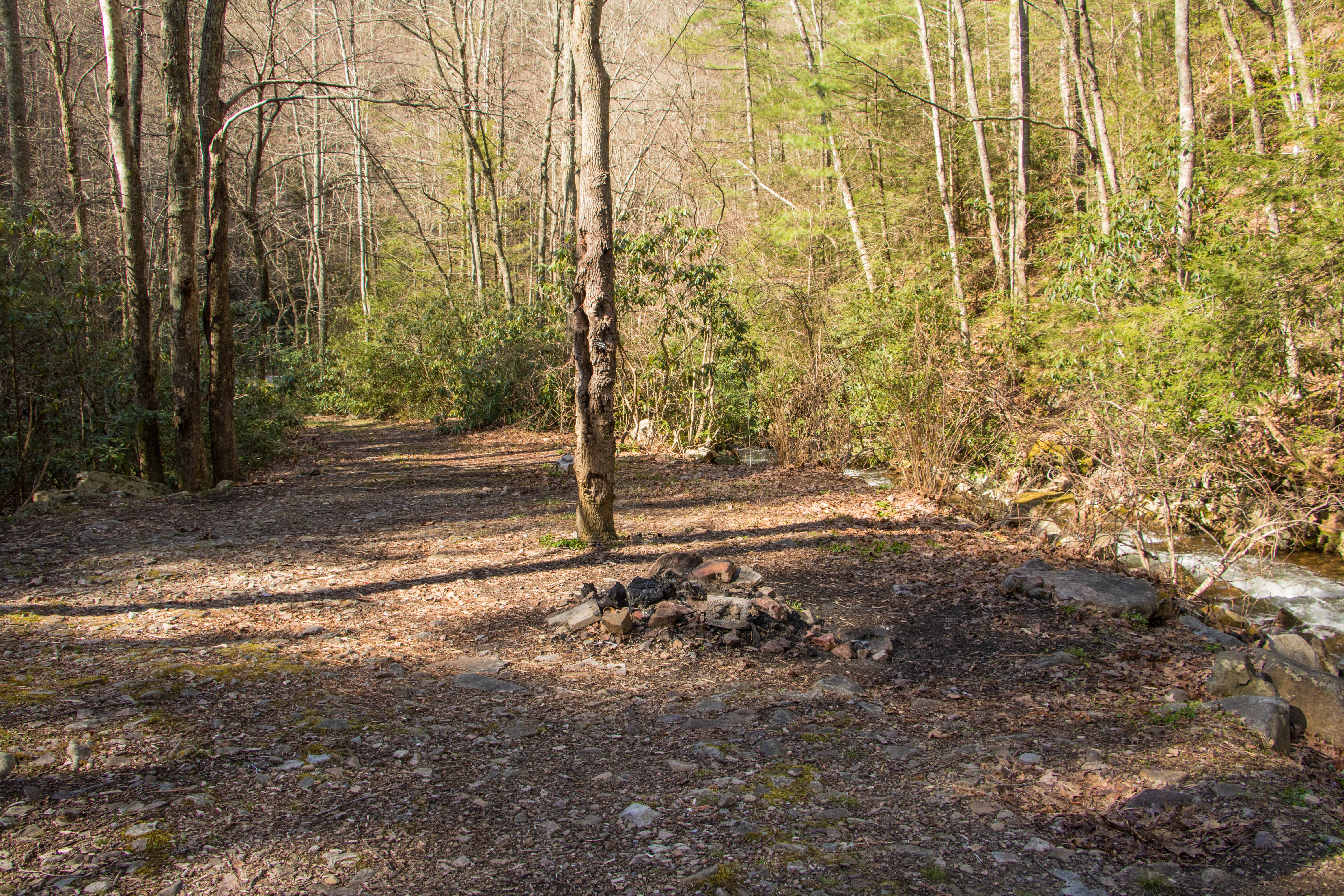
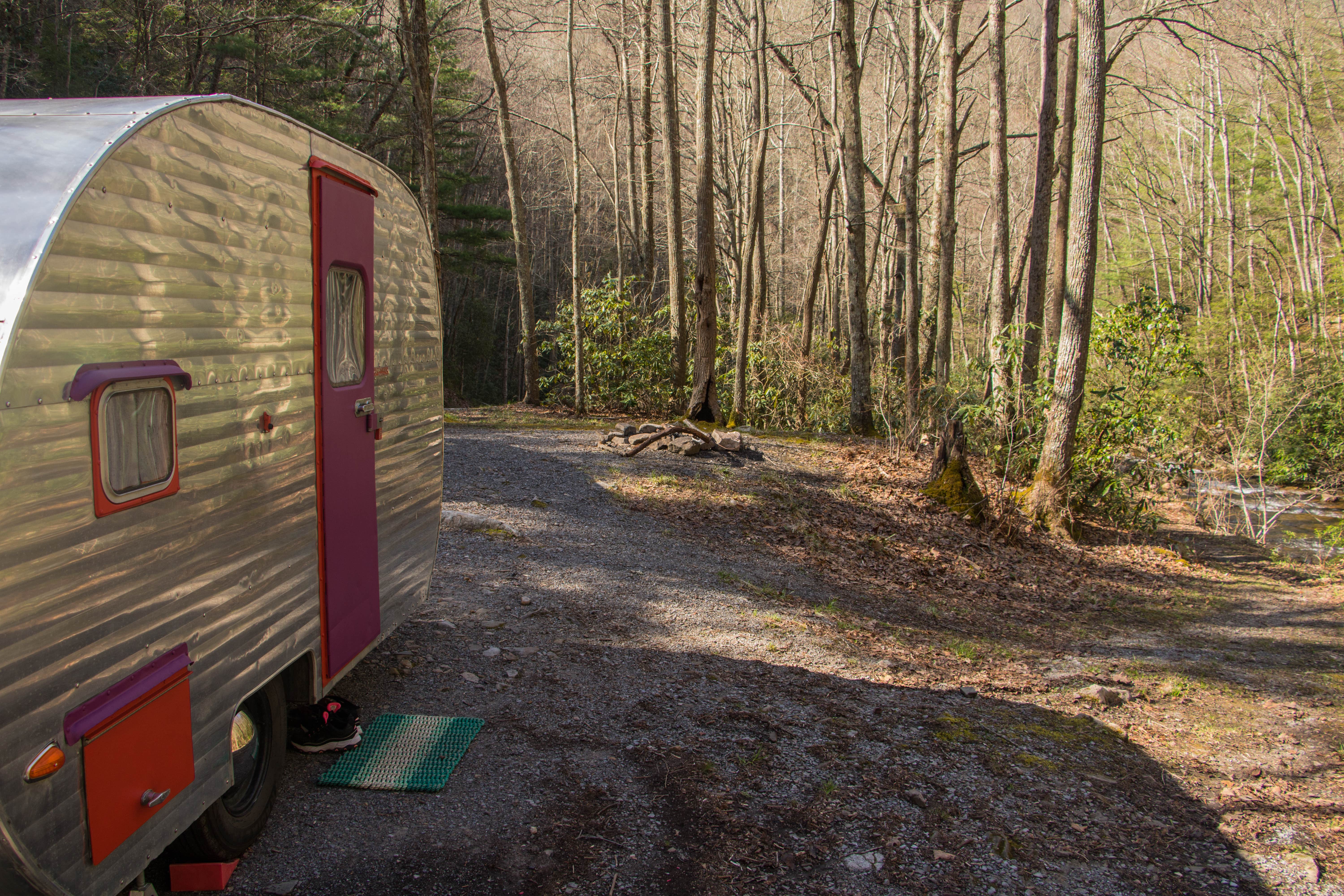
Mount Rogers National Recreation Area, near Damascus, Virginia, is a fantastic spot for those looking to immerse themselves in nature without the fuss of modern amenities. This area offers free camping right by a babbling creek, providing a serene backdrop for your outdoor adventures.
Visitors rave about the beautiful sites, especially those near the creek, where the sound of rushing water creates a peaceful atmosphere. One camper noted, “The creek drowns out all the road noise; we slept like newborn puppies.” While there are no electric hookups or drinking water, the natural beauty and privacy make it worth it for many.
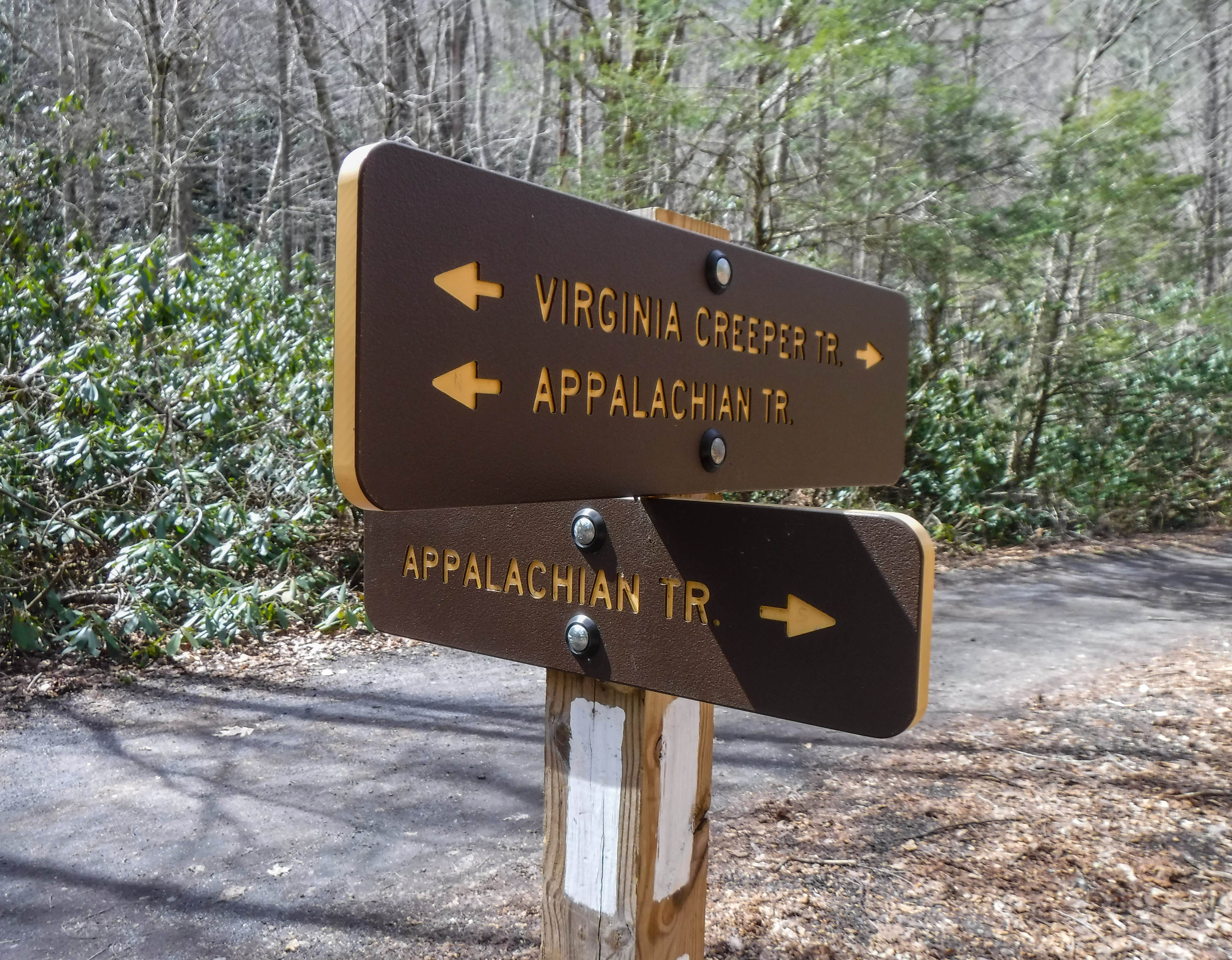
For those who enjoy hiking, the Appalachian Trail is nearby, offering stunning views and a chance to spot some wild ponies. The area is also known for its picturesque landscapes, making it a great place for photography or simply soaking in the scenery. Just remember, this isn’t a place for those seeking a fully developed campground experience; it’s all about the raw beauty of the outdoors.
Description
This is a FREE national forest site along Hwy 58. There are quite a few of these sites within 3 miles of this site. Road side, but with the creek next to you it drowns out all road noise.
Location
Mount Rogers National Recreation Area is located in Virginia
Directions
Use the maps below to help plan your trip. Mt. Rogers National Recreation Area Map of roads, trails, and boundaries
Coordinates
36.81081862 N
81.42144367 W
Connectivity
- T-MobileNo Coverage
- VerizonNo CoverageVerified by 2 usersLast on 12/11/25
- AT&TNo Coverage
Connectivity
- T-MobileNo Coverage
- VerizonNo CoverageVerified by 2 usersLast on 12/11/25
- AT&TNo Coverage
Access
- Drive-InPark next to your site
- Walk-InPark in a lot, walk to your site.
Site Types
- Dispersed
Features
For Campers
- ADA Access
- Trash
- Firewood Available
- Phone Service
- Alcohol
- Pets
- Fires
For Vehicles
- Pull-Through Sites
DISPERSED CAMPING
Enjoy dispersed camping on government land and leave no trace. Pack in and pack out. No (or limited) services at this camping area. Permit may be required.
PERMIT might be REQUIRED
We curate permit requirements across the US for our PRO members. Try PRO to see if Mount Rogers National Recreation Area needs a permit.
Drive Time
- 1 hr 6 min from Kingsport, TN
- 1 hr 11 min from Johnson City, TN
- 1 hr 16 min from Blacksburg, VA
- 1 hr 32 min from Beckley, WV

