Public Campground
Hiwassee River Area
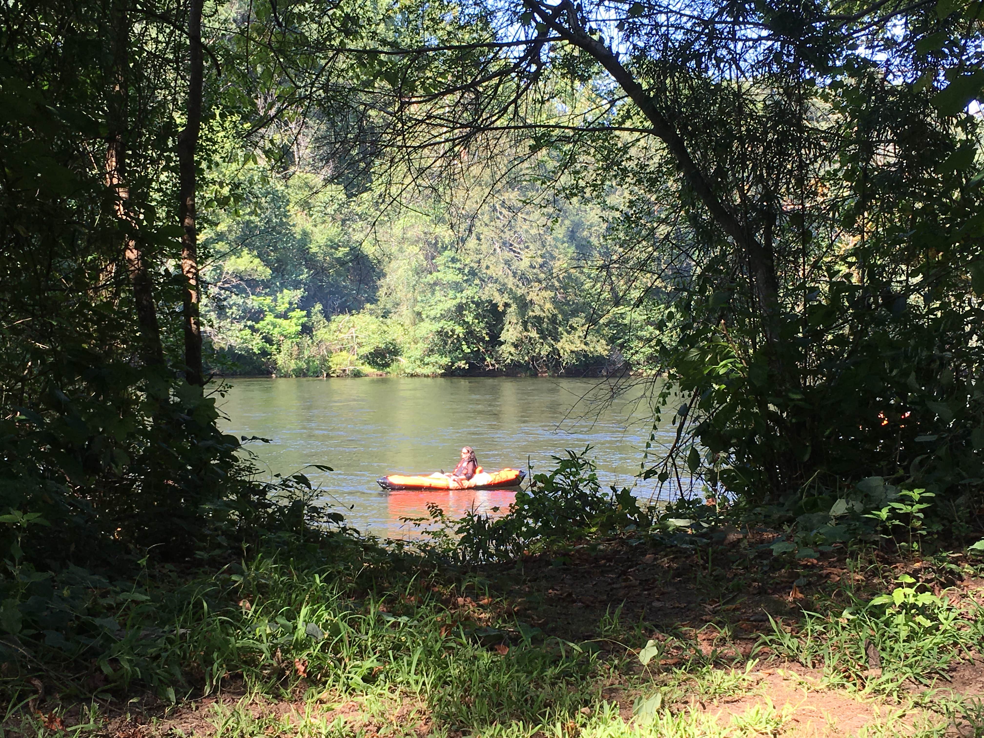
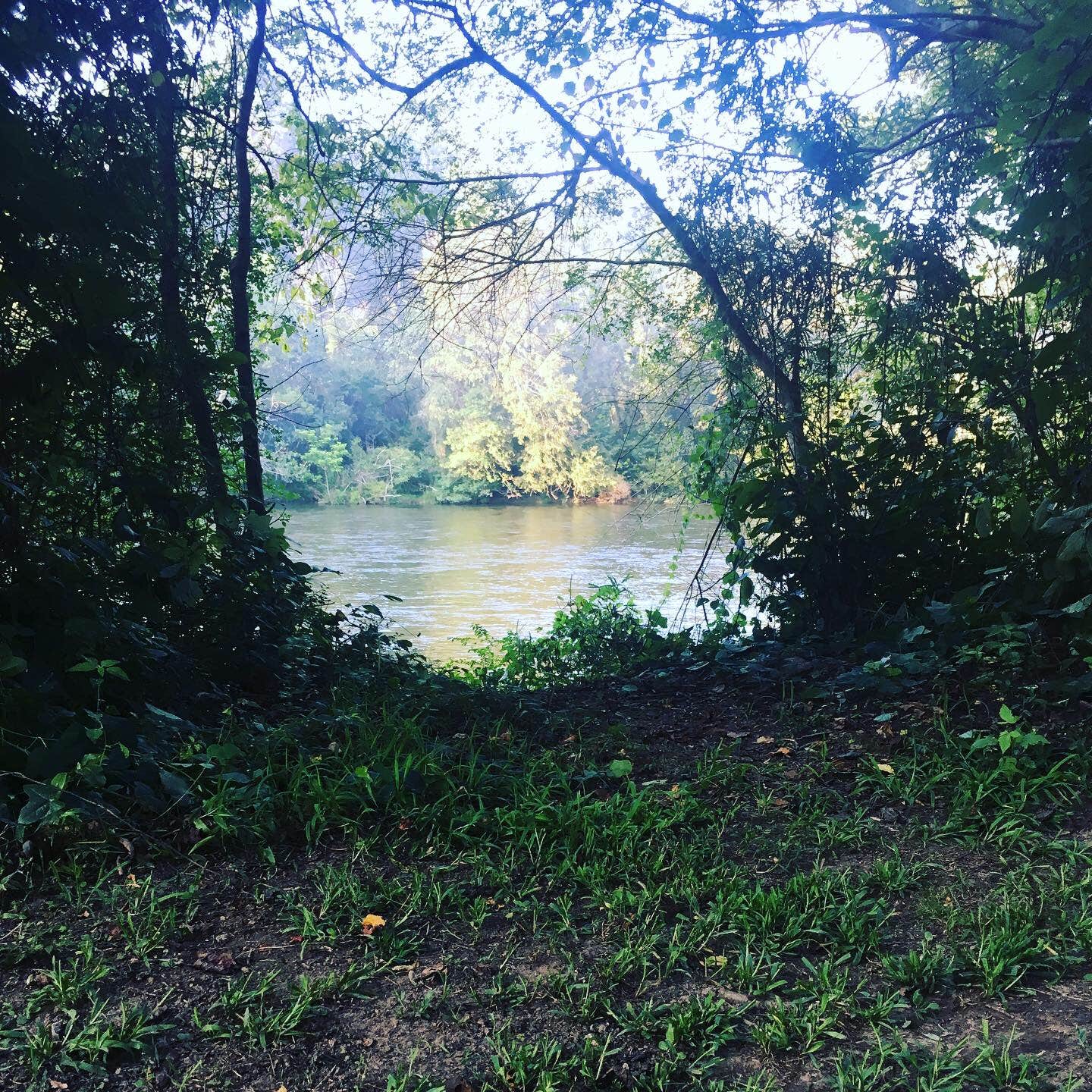
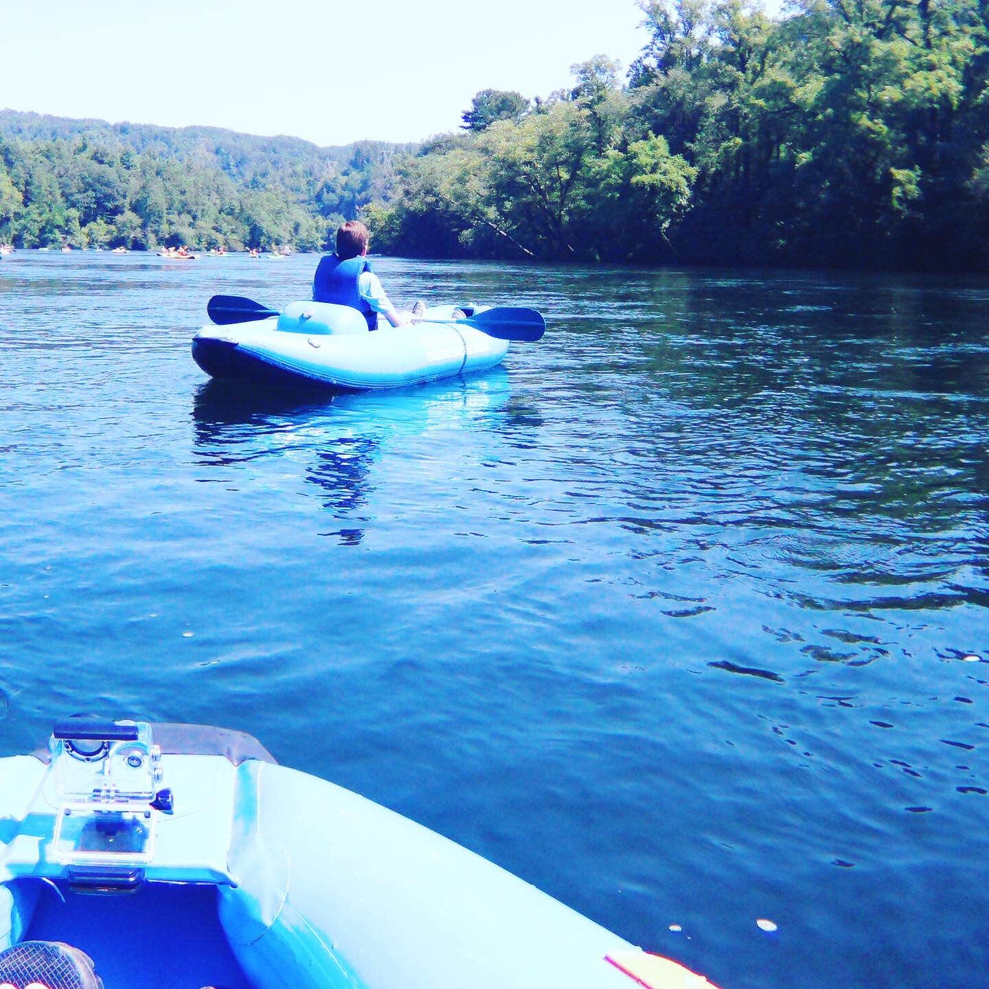
Hiwassee River Area in Tennessee offers a landscape with riverbanks and forested surroundings. Temperatures range from the 30s in winter to the 80s in summer. Visitors can explore the nearby Cherokee National Forest and enjoy water activities on the Hiwassee River.
Description
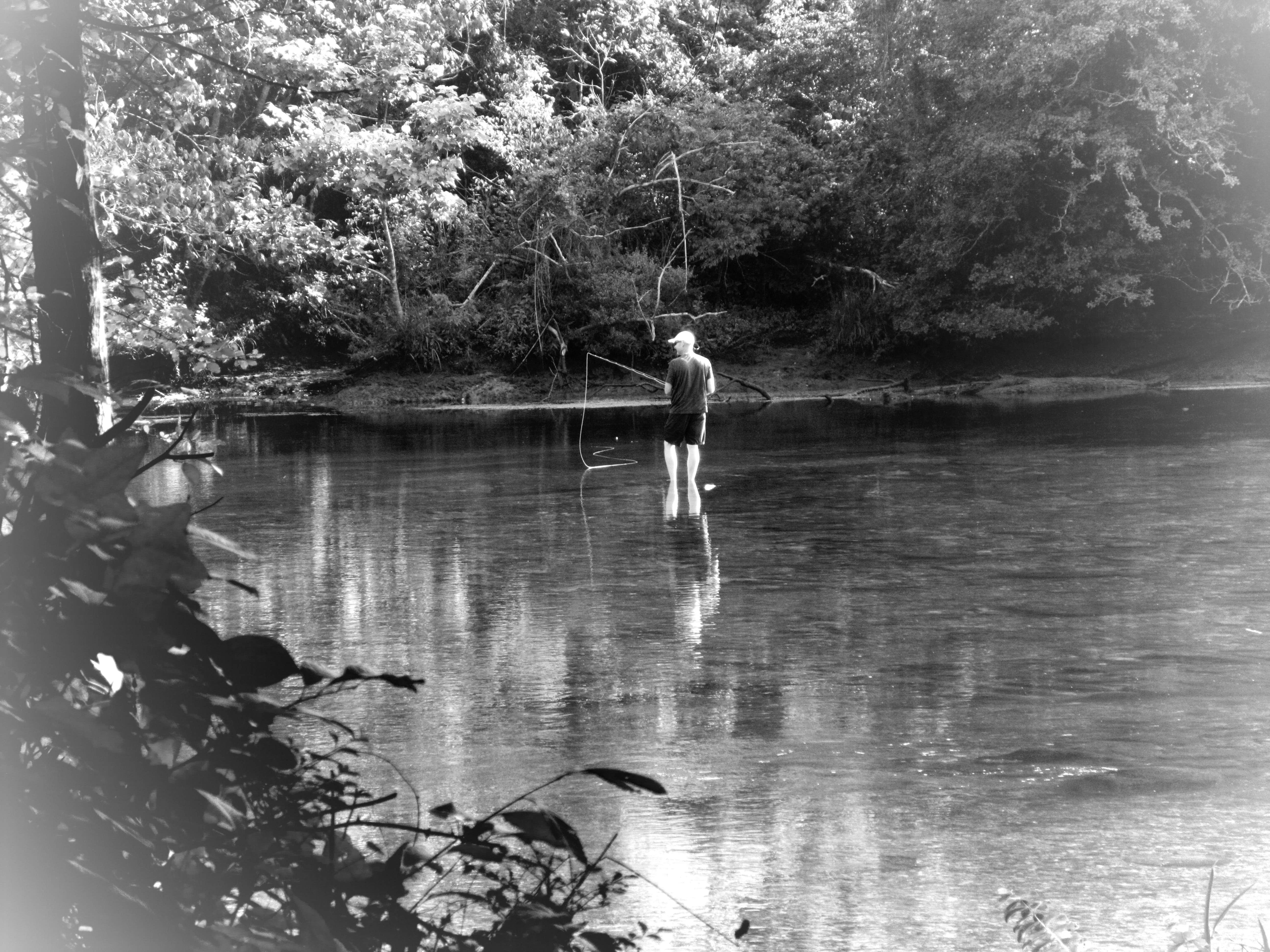
View of Hiwassee River from Hood Mountain Overlook in Cherokee National Forest Forested hillsides and pastoral river bottoms complement the beauty of Hiwassee River Gorge. Fishing, rafting, canoeing and hiking are popular activities. The 21-mile John Muir National Recreation Trail , a section of the longer distance Benton MacKaye Trail, meanders along the river. Camp at the nearby state campground at Gee Creek. Fish Your National Forests: This site can be accessed by Passenger Car; Fish available include: Trout; Types of fishing available include: Wade, Shore, Motorized boat, Fly; Boat Launch available Hiwassee River Area Map Hiwassee River Area Guide
Location
Hiwassee River Area is located in Tennessee
Coordinates
35.15005883 N
84.41637528 W
Connectivity
- T-MobileNo Coverage
- VerizonLTESome Coverage
- AT&TNo Coverage
Connectivity
- T-MobileNo Coverage
- VerizonLTESome Coverage
- AT&TNo Coverage
Access
- Drive-InPark next to your site
- Walk-InPark in a lot, walk to your site.
Site Types
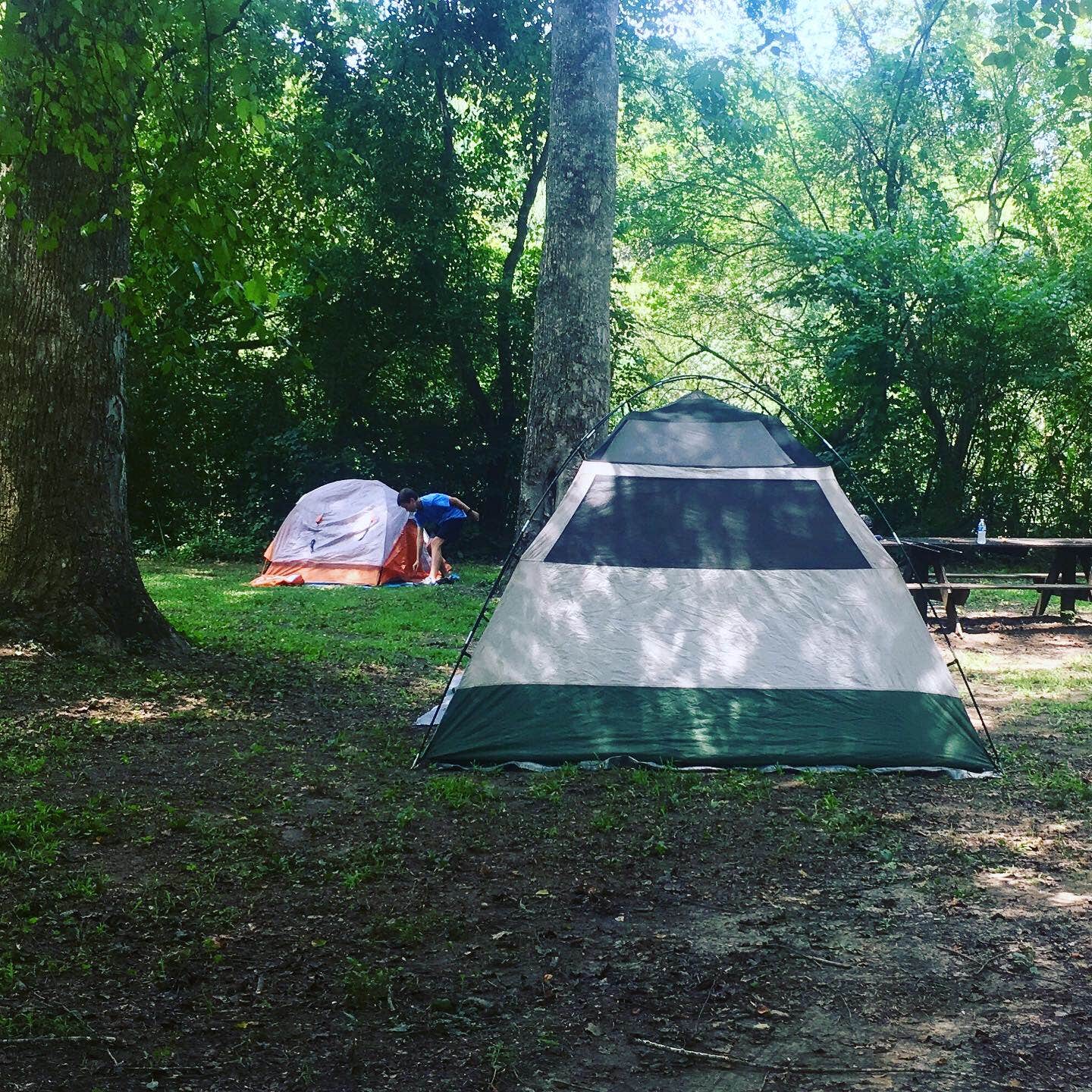
- Tent Sites
- Group
- Cabins
- Tent Cabin
Features
For Campers
- Market
- ADA Access
- Trash
- Picnic Table
- Reservable
- Showers
- Drinking Water
- Electric Hookups
- Toilets
- Alcohol
- Pets
- Fires
For Vehicles
- Sanitary Dump
Drive Time
- 56 min from Cleveland, TN
- 1 hr 19 min from Chattanooga, TN
- 1 hr 47 min from Knoxville, TN
- 2 hrs 3 min from Gainesville, GA

