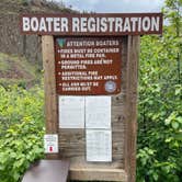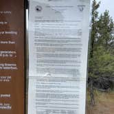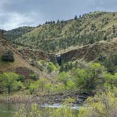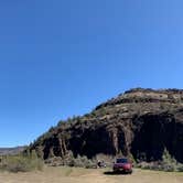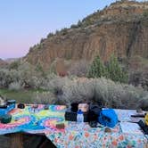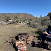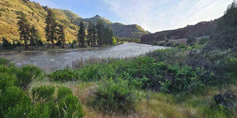
Six drive-in sites and four walk-in tent spots sit directly on the John Day River, making this a natural staging point for multi-day floats. Paddlers commonly overnight here before putting in at Service Creek, roughly 1.9 miles southwest, and Service Creek Campground is worth noting as a nearby alternative. Sites are long and level, vault toilets are on-site and have been reported clean, and the fee runs $5 per night on a self-registration basis. Pack out your trash. No pets are allowed. A seasonal waterfall is visible across the river from camp, and the open layout means little separation between sites. Road access can be rough, so low-clearance vehicles should plan accordingly.
Description
Located just off of the sleepy John Day Highway, this campground offers 8 primitive campsites and an unimproved boat launch accessing the John Day River. The ancient river canyon weaves through the area providing spectacular views with ever-changing light and shadows in the early morning and late evening hours. A picturesque grove of ponderosa pine trees lines a section of the riverbank opposite the campground and the site itself has a large, solitary pine prominently situated. The surrounding layer cake geology is exposed in various peekaboo angles from the campground.
Know Before You Go:
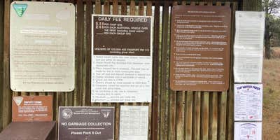
Open year-round Six drive-in campsites; two walk-to campsites. All campsites are available on a first come, first served basis; no reservations are available. Two wheelchair accessible vault toilets. No utility hookups or potable water are available No garbage service - please pack out your trash An annual fire closure is in effect from June 1 through October 15. Prohibited acts include building, igniting, maintaining, attending, using, tending, or being within 20 feet of a campfire, charcoal fire, or any other type of open flame; smoking, except while in non-public buildings, closed vehicles, in boats on the water, or while standing in the water.
Point of Interest
Although located along State highway 19 the sights and sounds of the John Day River dominate over any road noise making it easy to forget the highway is even there. Bring a book as there's no cell phone coverage here.
Fee Info
$5 per night per campsite; $2 for each additional vehicle over the first vehicle, excluding towed vehicles
RV Road Trip Guides

Map & DirectionsMuleshoe Campground is located in Oregon near Kimberly
 Public Campground
Directions
From Spray, Oregon: Drive 10.5 miles west along State Highway 19/207. The campground is on the left side of the highway.
Address
Prineville District Office
3050 NE 3rd St.
Prineville, OR 97754
Coordinates
44.80732 N
119.96704 W
Connectivity
 T-MobileNo Coverage
 VerizonLTESome Coverage
- AT&TNo Coverage
Connectivity
- T-MobileNo Coverage
- VerizonLTESome Coverage
- AT&TNo Coverage
Access
- Drive-InPark next to your site
- Boat-InSites accessible by watercraft.
Site Types
- Tent Sites
Features
For Campers
- Market
- ADA Access
- Toilets
- Alcohol
Drive Time
- 1 hr 57 min from Bend, OR
- 2 hrs 26 min from Kennewick, WA
- 2 hrs 59 min from Walla Walla, WA
- 3 hrs 4 min from Yakima, WA