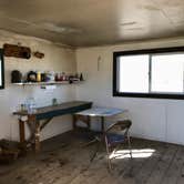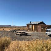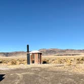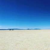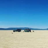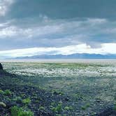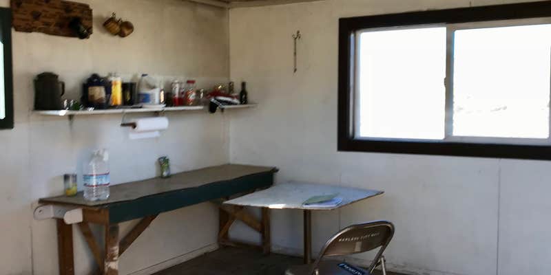
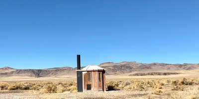
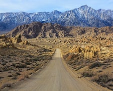
Managed by the Bureau of Land Management, the Black Rock Desert High Rock Canyon Emigrant Trails National Conservation Area encompasses two distinct camping experiences: dispersed sites near geothermal hot springs at Trego, Black Rock, and Soldier Meadows, and open camping directly on the playa itself. The playa stretches roughly 20 by 30 miles of packed desert. No services exist here. Campers should save GPS coordinates before leaving a vehicle on the playa, and avoid darker surface areas where mud or standing water can cause vehicles to get stuck. There is no cell service, and Gerlach is the nearest resupply point. The area draws those with an interest in rock hounding, hiking, and emigrant and Native American history, and campgrounds near BLM Land — Black Rock Field Office vary widely in access and setting. A first-come, first-served cabin with a wood stove provides shelter when weather turns rough, making this site a reasonable choice for self-sufficient campers prepared for remote, off-grid conditions.
RV Road Trip Guides

Map & DirectionsBLM Black Rock Desert High Rock Canyon Emigrant Trails National Conservation Area is located in Nevada near Gerlach
 Public Campground
Directions
From Gerlach; go 4 miles north on NV 34, then bear northeast (right) on the BLM road signed for the Black Rock Desert Wilderness Study area. Access also from NV 48, 4 miles south of Gerlach or from Soldier Meadows Road, north of Gerlach. Roads within the NCA are impassable in inclement weather.
Coordinates
40.94903404 N
118.88765397 W
Connectivity
 T-Mobile5GExcellent Coverage
 VerizonLTESome Coverage
- AT&TLTESome Coverage
Connectivity
- T-Mobile5GExcellent Coverage
- VerizonLTESome Coverage
- AT&TLTESome Coverage
Access
- Drive-InPark next to your site
- Walk-InPark in a lot, walk to your site.
- Hike-InBackcountry sites.
Site Types
- Equestrian
Features
For Campers
- Alcohol
- Fires