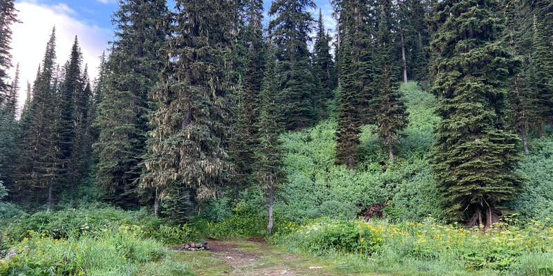
Accessible via forest road, Camp Misery Trailhead provides a launching point for backcountry hiking with extremely limited dispersed camping opportunities. The narrow road offers only two spots where vehicles can pull completely off the pavement, though some campers use roadside pulloffs designed for passing traffic. The trailhead parking area fills quickly on weekends, with cars lined down the road by early afternoon.
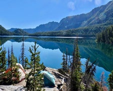
Overnight parking appears permitted at the trailhead itself, as lake camping draws heavy use. Campers seeking more established options can explore places to camp around Bigfork or consider Handkerchief Lake for a developed alternative.
Description
Main trailhead for the Jewel Basin Hiking Area, including the Mt. Aeneas #717 trail.
RV Road Trip Guides

Map & DirectionsCamp Misery Trailhead is located in Montana near Bigfork
Directions
<p>From Bigfork, take Hwy 35 north to Hwy 83. Head east on Hwy 83 to the junction of the Echo Lake Road. Head north on Echo Lake Road about 3 miles to junction with the Jewel Basin Road (No. 5392). Follow this road approximalty 7 miles to the trailhead. CAUTION: The last 5 miles are steep. Use headlights for safety. Caution advised for low clearance vehicles. Trailers not recommended. </p>
Coordinates
48.16088017 N
113.94704728 W
Connectivity
 T-MobileNo Coverage
- VerizonNo Coverage
- AT&TNo Coverage
Connectivity
- T-MobileNo Coverage
- VerizonNo Coverage
- AT&TNo Coverage
Access
Site Types
- Tent Sites
Features
Drive Time
- 2 hrs 19 min from Missoula, MT
- 3 hrs 19 min from Helena, MT
- 3 hrs 51 min from Great Falls, MT
- 3 hrs 51 min from Coeur d'Alene, ID

