Public Campground
Mosomo Point
Mosomo Point is located near Deer River in the Chippewa National Forest. The area features forested terrain with numerous lakes and rivers. Temperatures range from lows of 10°F in winter to highs of 80°F in summer. Nearby attractions include the Lost Forty, a preserved old-growth forest, and the Edge of the Wilderness Scenic Byway.
Description
Overview
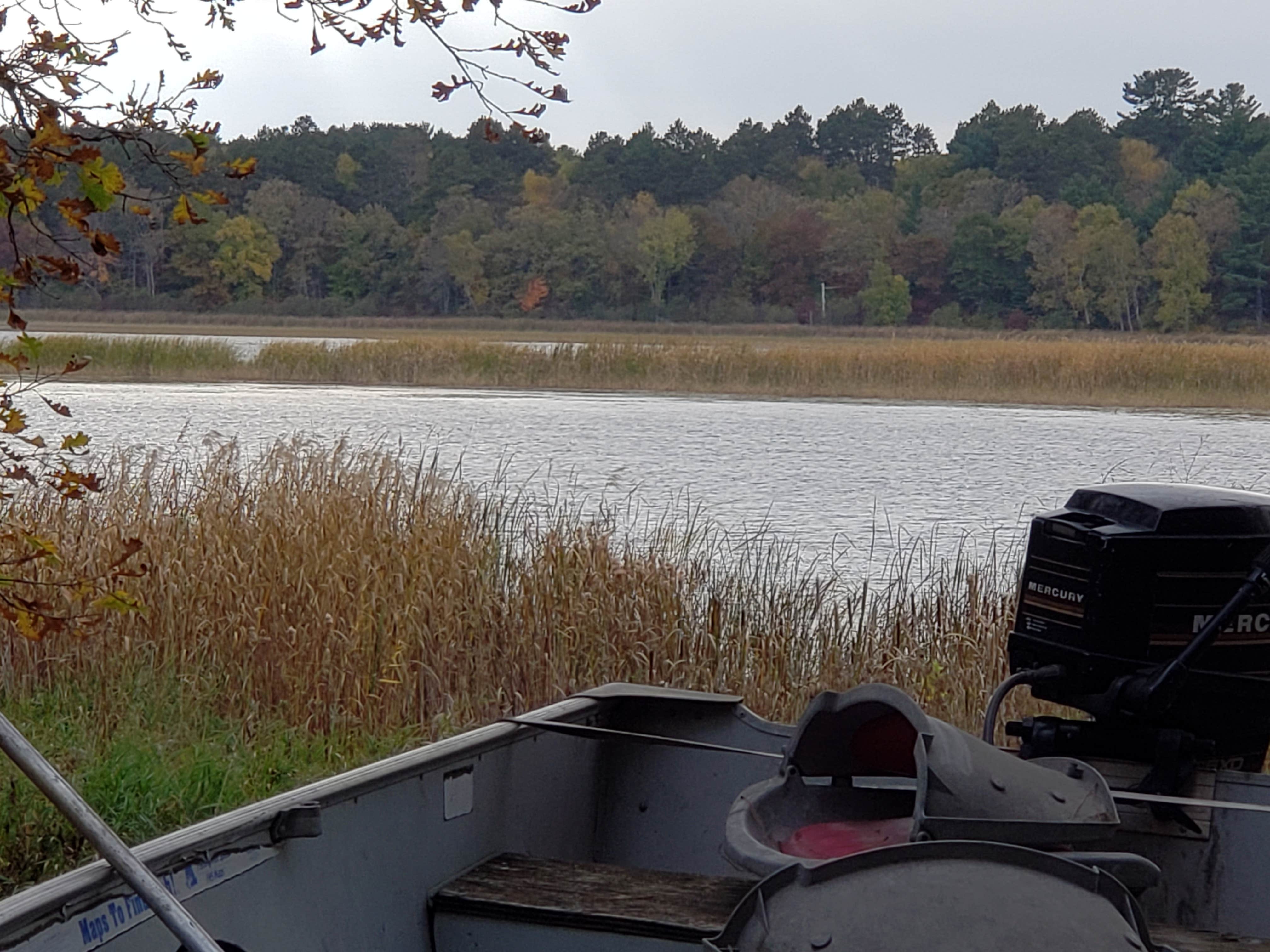
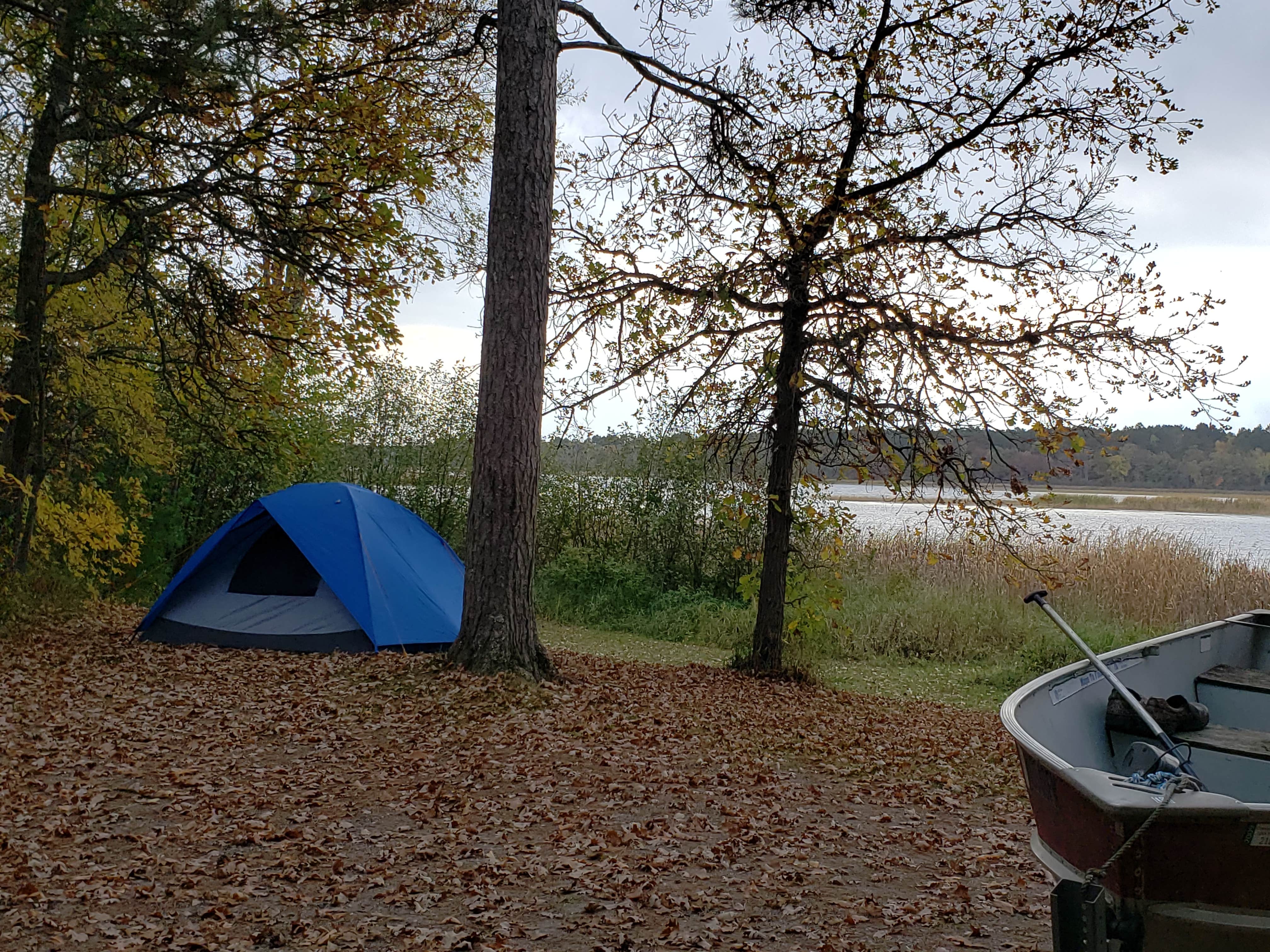
Mosomo Point Campground is located between Little and Big Cut Foot Sioux Lakes, in the heart of the Chippewa National Forest. Visitors enjoy the area for canoeing, trophy muskie fishing, hiking, and beautiful scenery. The Chippewa National Forest and the Leech Lake Band of Ojibwe work together to co-steward resources - making the Forest a great place to recreate as well as a special place where cultural and traditional resources are protected and preserved and the Bands treaty rights are respected.
Recreation
Canoeing, kayaking and fishing are very popular activities at Mosomo Point. Its protected location on the lake provides calm waters away from the big lake, making it an ideal spot for flatwater paddling. Miles of trails in the area provide great hiking, horseback riding, mountain biking, and birding opportunities. The Simpson Creek Trail and Cut Foot Sioux National Recreation Area Trail can be accessed nearby.Cut Foot Sioux Lake is located next to Lake Winnibigoshish, which can be accessed from Cut Foot Sioux. Lake Winnie offers excellent fishing opportunities for walleye, perch and muskie. It is one of Minnesota's premier fisheries. Boating and water skiing are popular activities.
Facilities
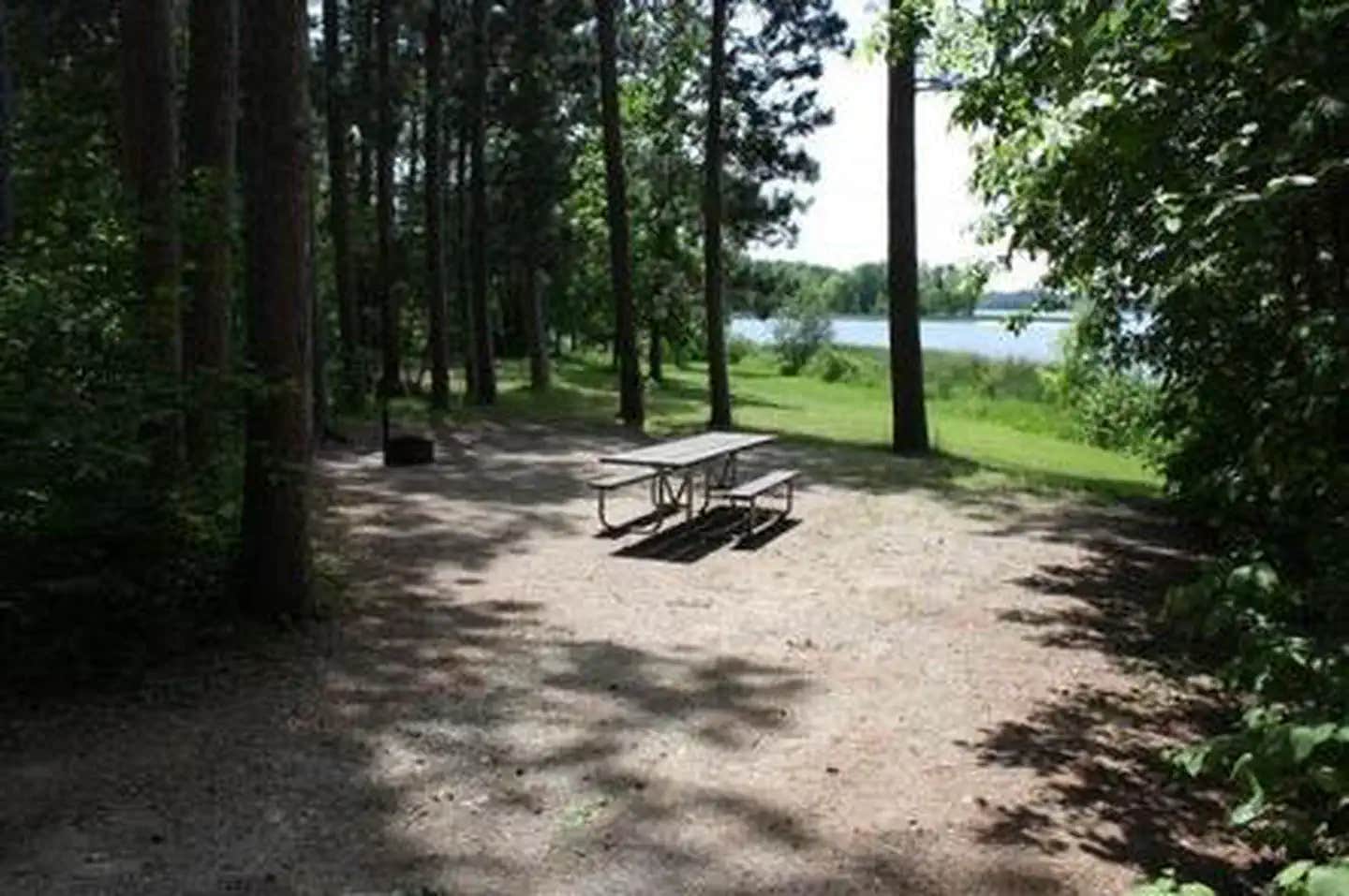
The campground offers single-unit sites, each equipped with a picnic table and campfire ring. Vault toilets and hand pumps for drinking water are provided. There is a boat access just down the road from the campground, and a public fishing pier a few miles before the campground's entrance.
Natural Features
The campground is situated in a transitional area between Little and Big Cut Foot Sioux Lakes. The quiet cove is lined with mature red and white pine trees.The lake is home to a variety of waterfowl and birds of prey, including loons, osprey, and bald eagles.
Nearby Attractions
The Cut Foot Sioux Visitor Information Center is located a half-mile from the campground. The center offers interpretive displays, educational programs, trails and area information.
Fee Info
$16.00 per night
Location
Mosomo Point is located in Minnesota
Directions
From Deer River, travel north on Highway 46 for 19 miles. Turn west on Forest Road 2190 about a half-mile past the Cut Foot Sioux Visitor Center. Continue to the campground.
Address
1235 DIVISION ST.
Deer river, MN 56636
Coordinates
47.5183333 N
94.0480556 W
Connectivity
- T-MobileNo Coverage
- VerizonLTESome CoverageVerified by 2 usersLast on 1/31/26
- AT&TLTESome Coverage
Connectivity
- T-MobileNo Coverage
- VerizonLTESome CoverageVerified by 2 usersLast on 1/31/26
- AT&TLTESome Coverage
Access
- Drive-InPark next to your site
- Boat-InSites accessible by watercraft.
Site Types
- Tent Sites
- RV Sites
- Standard (Tent/RV)
Features
For Campers
- Phone Service
- Reservable
- Drinking Water
- Toilets
- Alcohol
- Pets
- Fires
For Vehicles
- Big Rig Friendly
Drive Time
- 1 hr 57 min from Duluth, MN
- 2 hrs 49 min from Grand Forks, ND
- 2 hrs 50 min from St. Cloud, MN
- 3 hrs 4 min from Fargo, ND


