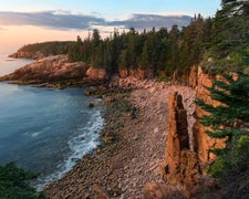
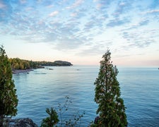
Manistee National Forest Hungerford Trail Camp is located near Big Rapids, MI, surrounded by forested terrain. The area experiences temperatures ranging from the 20s in winter to the 80s in summer. Nearby attractions include the Muskegon River and the Fred Meijer White Pine Trail State Park, offering opportunities for outdoor activities.
RV Road Trip Guides
Location
Public CampgroundManistee National Forest Hungerford Trail Camp is located in Michigan
Directions
From Big Rapids - Travel west on M-20 for 8.5 miles. Turn right and travel north on Cypress Ave. for .5 miles. Turn right and travel east on Hungerford Lake Dr. for .5 miles. Turn left and travel north on Forest Rd. 5134 for 1 mile. The site is located on the left.
Coordinates
43.70145253 N
85.6221184 W
Connectivity
- T-MobileNo Coverage
- VerizonLTESome Coverage
- AT&TNo CoverageVerified by 2 usersLast on 2/16/26
Connectivity
- T-MobileNo Coverage
- VerizonLTESome Coverage
- AT&TNo CoverageVerified by 2 usersLast on 2/16/26
Access
Features
Drive Time
- 49 min from Grand Rapids, MI
- 1 hr 5 min from Muskegon, MI
- 1 hr 27 min from Traverse City, MI
- 1 hr 28 min from Midland, MI


