
Hiking and kayaking enthusiasts will find multiple trail systems and lake access at Deboullie Public Lands, managed by the Maine Bureau of Parks and Lands in the North Maine Woods. Campers must check in at a North Maine Woods checkpoint and pay entrance fees before accessing the property via private logging roads—about an hour's drive on dirt roads from the checkpoint.
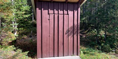
Sites spread throughout the area include tent platforms at most locations, though Perch Dam accommodates larger tents without platform restrictions. Trails feature rock stairs and wooden stairs leading to viewpoints, with some routes connecting to a fire tower that requires steep climbing. The area provides access to several lakes for kayaking and fishing, though campers report hearing logging operations during weekdays. Basic amenities include toilets, picnic tables, and campfire rings, with pets and alcohol permitted.
RV Road Trip Guides


Map & DirectionsDeboullie Public Lands is located in Maine near Eagle Lake
Coordinates
46.95586743625336 N
68.87143821814163 W
Connectivity
 T-MobileNo Coverage
- VerizonNo Coverage
- AT&TNo Coverage
Connectivity
- T-MobileNo Coverage
- VerizonNo Coverage
- AT&TNo Coverage
Access
- Drive-InPark next to your site
- Walk-InPark in a lot, walk to your site.
- Hike-InBackcountry sites.
- Boat-InSites accessible by watercraft.
Site Types
- Tent Sites
- RV Sites
- Group
Features
For Campers
- Picnic Table
- Toilets
- Alcohol
- Pets
- Fires
Drive Time
- 3 hrs 19 min from Bangor, ME
- 4 hrs 44 min from Lewiston, ME
- 5 hrs 21 min from Portland, ME
- 8 hrs 31 min from Burlington, VT


