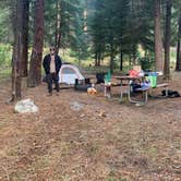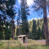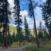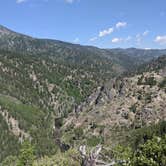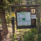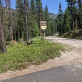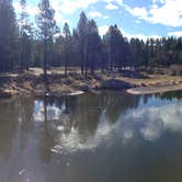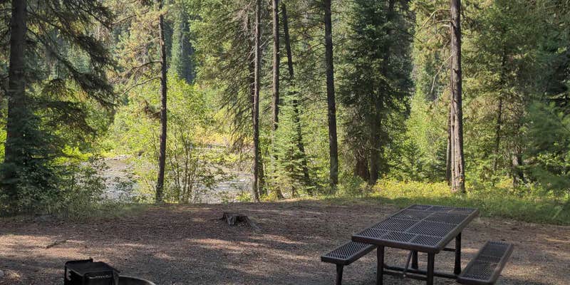

Poverty Flat sits along the South Fork of the Salmon River in Payette National Forest, accessed via a main forest road that runs past the campground, meaning road noise from passing vehicles is noticeable. Sites are free to $10 per night, with a mix of drive-in and short walk-in spots. A water spigot and pit toilet are on-site, though the outhouse has seen inconsistent maintenance. Anglers and campers who want quick access to nearby hot springs, including Mile 16 just up the road, tend to get the most out of this location. Dogs are welcome. For dog-friendly camping near Payette National Forest, this campground is one of several options in the corridor.
Description
Overview
Located along side the South Fork Salmon River, this paved campground offers 10 campsites, including 4 walk in tent sites. This location is available on a first-come, first-served basis only. Visitors are required to physically arrive at the campground to purchase and claim a site. Once on-site, you may be able to pay for your campsite(s) by scanning a QR code using the Recreation.gov mobile app, and the Scan and Pay feature. If this option is available, you will need to first download the free Recreation.gov mobile app https://www.recreation.gov/mobile-app prior to your arrival as some remote areas have limited or no cellular service.
Recreation
__The campground serves as take-out for those floating the South Fork of the Salmon River from Goat Creek. Serves as the trailhead for an extensive trail system. Many loop hikes are possible from here, of varying lengths and difficulties. Open to those on foot, horses, mountain bikes, and trail bikes. Fishing in the river.
Facilities
Fire rings, hitching rails, toilet, drinking water, pack in/pack out. Please pack out all your trash. No hook-ups.
Nearby Attractions
The South Fork of the Salmon River is a highly popular area of the Forest and is one of the earlier areas to be snow-free in the spring. Several campgrounds and dispersed campsites can be found along the South Fork Road (FS Rd #674). The southern-most 7 miles of the South Fork Road are on the Boise National Forest.
RV Road Trip Guides

Map & DirectionsPoverty Flat is located in Idaho near Yellow Pine
 Public Campground
Directions
From McCall, go 30 miles northeast on Forest Road 48 (Lick Creek Road), then 13 miles south on FR 674 (South Fork Road). The South Fork corridor is about 30 miles from Cascade along the Warm Lake Highway. Usually by July, Lick Creek Pass (Road #48) is snow-free, providing a faster access from McCall (35 miles) to the South Fork corridor. Please follow posted speed limits and drive carefully, the South Fork Road is a paved, narrow, one-lane road with two-way traffic and many blind corners.
Coordinates
44.824672 N
115.702442 W
Connectivity
 T-MobileNo Coverage
- VerizonNo Coverage
- AT&TNo Coverage
Connectivity
- T-MobileNo Coverage
- VerizonNo Coverage
- AT&TNo Coverage
Access
- Drive-InPark next to your site
- Walk-InPark in a lot, walk to your site.
Site Types
- Tent Sites
- RV Sites
- Standard (Tent/RV)
- Group
Features
For Campers
- Drinking Water
- Toilets
- Alcohol
- Pets
Drive Time
- 3 hrs from Boise, ID
- 4 hrs 38 min from Lewiston, ID
- 6 hrs 25 min from Walla Walla, WA
- 6 hrs 54 min from Missoula, MT