Free Camping Collection
Public Campground
Halfway Camp
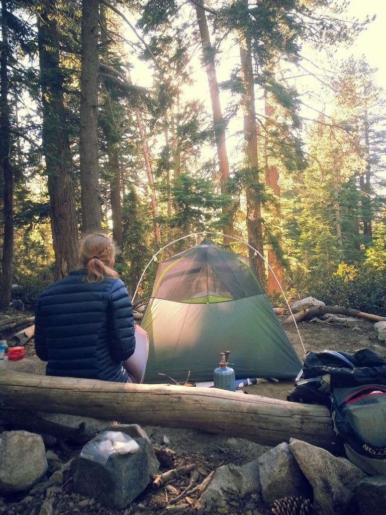
Halfway Camp is located in the San Bernardino National Forest, surrounded by rugged terrain and dense forest. Temperatures can range from 30°F in winter to 85°F in summer. Nearby attractions include the Big Bear Lake and the Pacific Crest Trail, offering opportunities for hiking and water activities.
Description
Water available seasonally.
Group size limited to 12 people and 8 pack/riding animals per group. No campfires allowed. Portable gas stoves are allowed with a valid California Campfire Permit.
Limited, but free wilderness permits for day hiking and overnight camping are required for the San Gorgonio Wilderness and the Cucamonga Wilderness Permits – they are issued by the San Gorgonio Wilderness Association, a Forest Service partner. Parts of the San Gorgonio Wilderness, including the San Bernardino Peak Trail, are still closed due to the El Dorado fire.
Upon completion of your reservation request. you will receive a download. Please retain this download as your permit reservation. You may keep a copy on your phone and show it to a ranger as verification of your permit or you can print it out. If you do not receive a permit use the contact link here: https://www.sgwa.org/contact-us
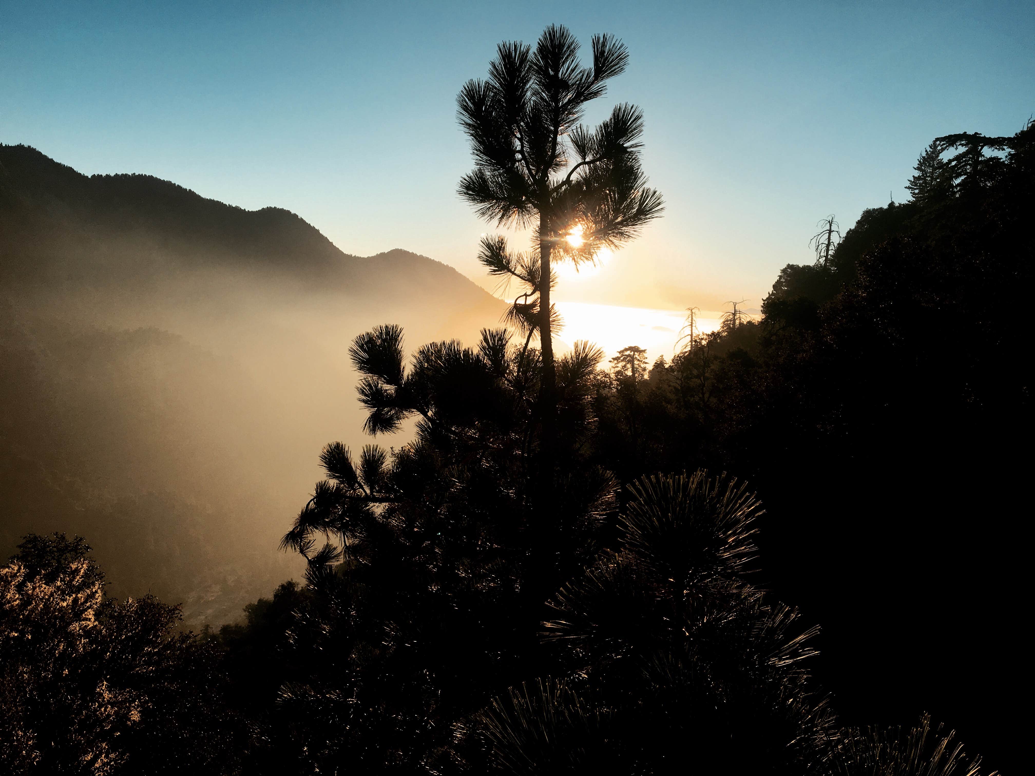
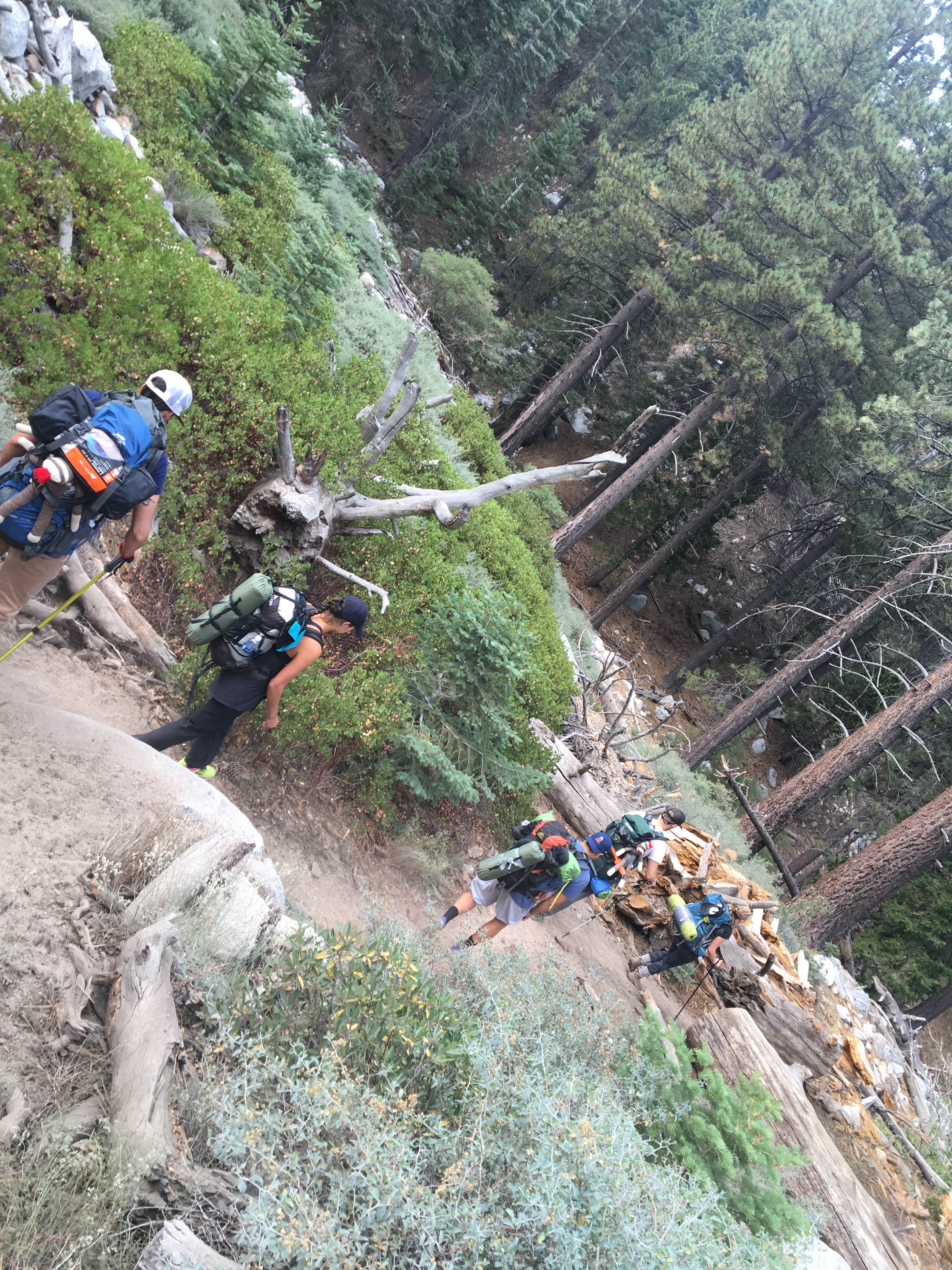
The Vivian Creek Trail is the shortest and the steepest route to the summit of Mt. San Gorgonio, located in the San Gorgonio Wilderness on the Sand to Snow National Monument. One and two-tenths miles from the trailhead is Vivian Creek Camp (7,100'). Campsites are located upslope to the right of the trail after reaching the stream: one is halfway up the slope, and the other is at the top of the slope (no camping within 200 feet of the trail or creek). One and three-tenths miles from Vivian Creek Camp is Halfway Camp (8,100'). Water is obtained from the creek 200 yards before camp. Two and three-tenths miles further is High Creek Camp (water available - 9,200'). The summit of San Gorgonio (11,499') is 3 miles beyond High Creek. The upper end of this trail offers outstanding views of Yucaipa Ridge and Galena Peak, as well as sweeping panoramic views from the top of Mt. San Gorgonio. General info: No water available. No campfires allowed. Portable gas stoves are allowed with a valid California Campfire Permit. No camping within 200 feet of the trail or creek Wilderness Permit Required - this is a very popular trail, especially on summer weekends. It is suggested you request your permit in advance. Wilderness Permit applications are accepted up to 90 days in advance of your trip. Permits can be obtained from sgwa.org. Fee: Adventure Pass Required $5/day or $30/year. Interagency Passes also accepted.
Reservation Info
Free day use and overnight permits are required. Reserve and check availability on the San Gorgonio Wilderness Association website: sgwa.org/wilderness-permits/
Only one reservation needed per group! One person can reserve for up to 12 people. We will cancel any reservations made in the same name for the same date.
Location
Halfway Camp is located in California
Directions
The trailhead is reached by turning east off Highway 38 to Forest Falls.
Coordinates
34.08329521 N
116.862903 W
Connectivity
- T-Mobile5GGood Coverage
- VerizonNo Coverage
- AT&TNo Coverage
Connectivity
- T-Mobile5GGood Coverage
- VerizonNo Coverage
- AT&TNo Coverage
Access
- Hike-InBackcountry sites.
Site Types
- Tent Sites
- Group
Features
For Campers
- Reservable
- Drinking Water
- Pets
- Fires
FREE established camping
Enjoy camping on government land. Limited or no services at this camping area.
PERMIT might be REQUIRED
We curate permit requirements across the US for our PRO members. Try PRO to see if Halfway Camp needs a permit.
Drive Time
- 1 hr 47 min from Los Angeles, CA
- 2 hrs 17 min from San Diego, CA
- 2 hrs 33 min from Oxnard, CA
- 2 hrs 45 min from El Centro, CA


