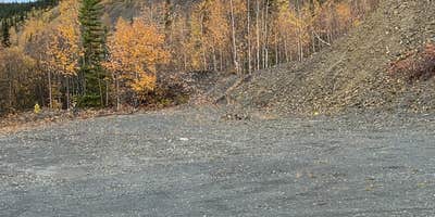
Bureau of Land Management's Eastern Interior Field Office manages Ski Loop Trail, a drive-in campground that operates as dispersed camping across gravel areas near multiple trailheads. Campers park in large dirt and gravel spaces without designated sites, picnic tables, or restrooms. Large RVs use these areas regularly, so visitors should position vehicles to allow room for bigger rigs to maneuver around them.
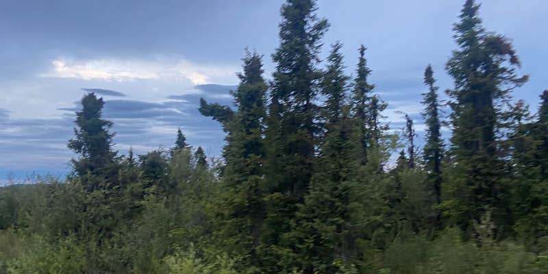
The campground sits in forested terrain near a creek, with hiking trails accessible from the immediate area. Campfires and pets are permitted on BLM land here. Campers should note that GPS coordinates may require adjustment, as some visitors report needing to drive further than initially indicated to locate the actual camping areas.
Description
This loop trail begins and ends at the Wickersham trailhead. The initial leg of the trail starts on the Summit Trail and crosses south to the Wickersham Creek Trail then returns back to the trailhead. The trail climbs for one mile to an overlook before descending into a forested saddle and back to the trailhead. The section of trail between the Summit and Wickersham Creek trails is primarily a winter trail, is extremely wet and boggy and not recommended for travel in the summer. This trail non-motorized year round.
Fee Info
None.
Map & DirectionsSki Loop Trail is located in Alaska near Ester
Directions
From Fairbanks travel approximately 10 miles north on the Steese Highway to the community of Fox, AK. From Fox, AK, travel approximately 28 miles north on the Elliott Highway. The trailhead is called the Wickersham Dome Trailhead and is on the right (east) side of the road. This trail is non-motorized year round.
Coordinates
65.19439058 N
148.0417004 W
Connectivity
 T-MobileNo Coverage
- VerizonNo Coverage
- AT&TNo Coverage
Connectivity
- T-MobileNo Coverage
- VerizonNo Coverage
- AT&TNo Coverage
Access
- Drive-InPark next to your site
Site Types
- Tent Sites
- RV Sites
Features
For Campers
- Pets
- Fires


