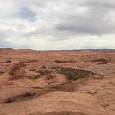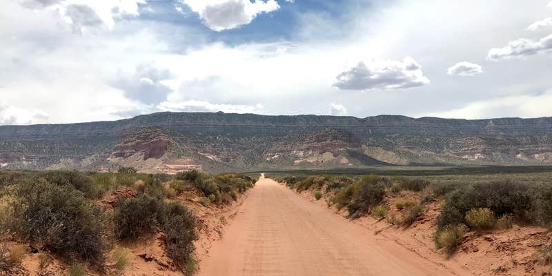
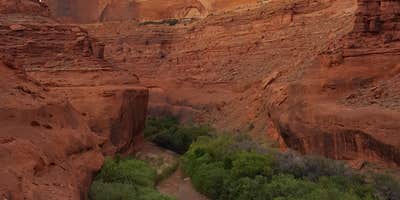
Reaching Coyote Gulch requires committing to 36 miles of Hole-in-the-Rock Road, a rough dirt route that takes roughly two hours to drive even in a high-clearance 4WD vehicle, followed by a hike of several miles through open desert before the canyon descent begins. No amenities exist in the canyon. This is a backpacking destination, not a drive-in campground, and rangers actively check for both a free permit (available at the trailhead) and WAG bags, which are required for waste disposal.
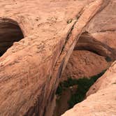
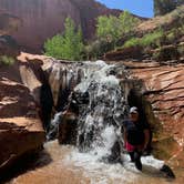
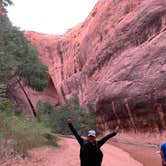
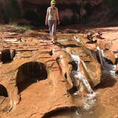
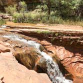
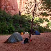
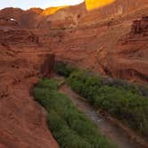
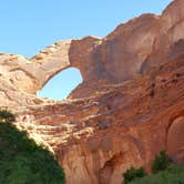
All camping is first-come, first-served, and sites near Jacob Hamblin Arch fill quickly on weekends. Campers who push further from the arch or set up along the Escalante River near the canyon entrance tend to find more room, including sandy beaches and sandbars well-suited to tent camping. The canyon walls rise dramatically on either side, and the route passes waterfalls and a notable 600-foot descent that some hikers navigate with rope assistance.
Timing matters here. Heat in the open desert above the canyon can be severe; one reviewer recorded 113 degrees during an afternoon hike out. Spring and fall are the recommended seasons. "Hiking back out in the afternoon was horrible," notes Robert W., a caution worth taking seriously when planning water carries. Those staging a trip in the broader region can find places to camp around Glen Canyon National Recreation Area as well as dispersed options like Coyote Gulch Road Dispersed — BLM Escalante closer to the trailhead. Come prepared, and the canyon rewards the effort.
RV Road Trip Guides


Map & DirectionsCoyote Gulch is located in Utah near Glen Canyon National Recreation Area
 Public Campground
Coordinates
37.42446873 N
110.98266055 W
Connectivity
 T-MobileNo Coverage
- VerizonNo Coverage
- AT&TNo Coverage
Connectivity
- T-MobileNo Coverage
- VerizonNo Coverage
- AT&TNo Coverage
Access
- Hike-InBackcountry sites.