
Backpackers and hammock campers will find a challenging hike-in experience at Starr Mountain Area, accessed through Cherokee National Forest. The route from Gee Creek Road covers roughly half a mile but lacks trail markings, requiring campers to follow an unmarked uphill path through forested terrain. Several natural springs along the route can create muddy conditions depending on recent rainfall.
The steep ascent demands physical preparation and frequent rest stops. Hammock camping works well given the forested setting, though tent site options remain limited on the mountainous terrain. Weather conditions can change unexpectedly at elevation. For a less demanding experience, Spring Creek Dispersed Camping provides easier access nearby.
Description
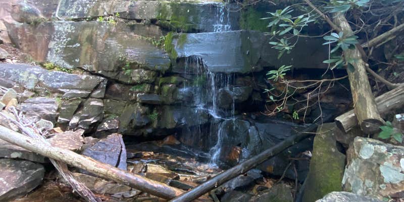
View from Starr Mountain in Cherokee National Forests Starr Mountain is a popular area of the national forest for horse riding & camping with nearly 20 miles of trails and a number of roads available for riding. Lost Corral Campground & Trailhead provides the easiest access to the area. This zone also features Gee Creek Wilderness and the Gee Creek Trail #191 trail that only gets more challenging the further you hike. Access is located off US Highway 411 near the Hiwassee River and state managed Gee Creek Campground. Starr Mountain Area Map Starr Mountain Area Guide
RV Road Trip Guides


Map & DirectionsStarr Mountain Area is located in Tennessee near Delano
Coordinates
35.28760031 N
84.465682 W
Connectivity
 T-Mobile5GGood Coverage
 VerizonNo Coverage
 AT&TLTESome Coverage
Connectivity
- T-Mobile5GGood Coverage
- VerizonNo Coverage
- AT&TLTESome Coverage
Access
- Walk-InPark in a lot, walk to your site.
- Hike-InBackcountry sites.
Site Types
- Tent Sites
- Standard (Tent/RV)
Features
For Campers
- Alcohol
Drive Time
- 59 min from Cleveland, TN
- 1 hr 22 min from Chattanooga, TN
- 1 hr 27 min from Knoxville, TN
- 2 hrs 30 min from Gainesville, GA


