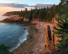
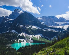
Graner Bottom in North Dakota features flat terrain with open spaces and sparse vegetation. Temperatures range from lows around 10°F in winter to highs near 85°F in summer. Nearby, the Missouri River offers opportunities for fishing and boating, while Fort Abraham Lincoln State Park provides historical sites and hiking trails.
Description
This recreation area is part of Lake Oahe
RV Road Trip Guides
Location
Public CampgroundGraner Bottom is located in North Dakota
Coordinates
46.64451715 N
100.71129282 W
Connectivity
- T-Mobile5GGood Coverage
- VerizonLTESome Coverage
- AT&T5GGood Coverage
Connectivity
- T-Mobile5GGood Coverage
- VerizonLTESome Coverage
- AT&T5GGood Coverage
Access
Site Types
- Tent Sites
Features
Drive Time
- 23 min from Bismarck, ND
- 2 hrs 1 min from Minot, ND
- 2 hrs 56 min from Fargo, ND
- 3 hrs 48 min from Grand Forks, ND


