Public Campground
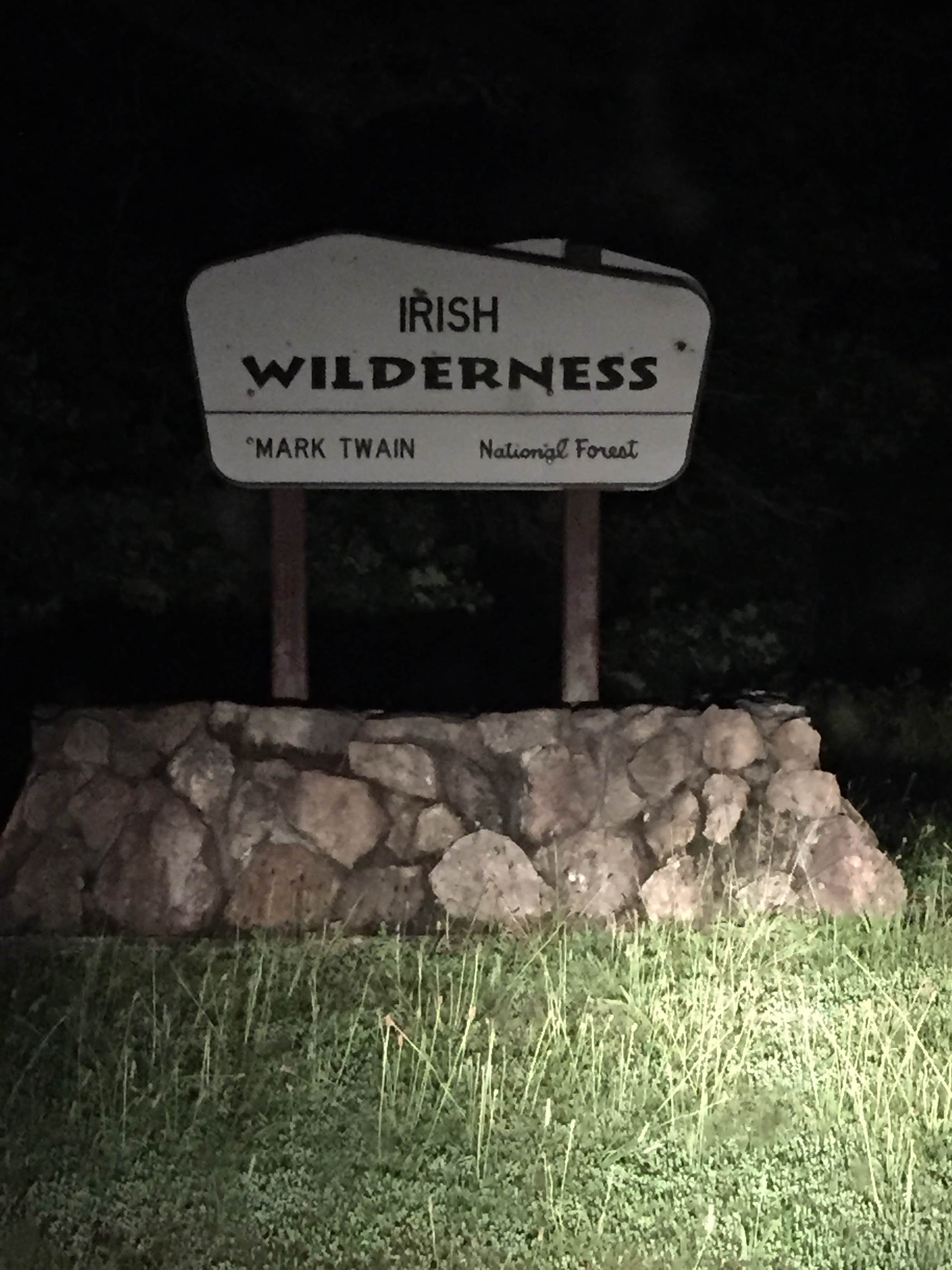
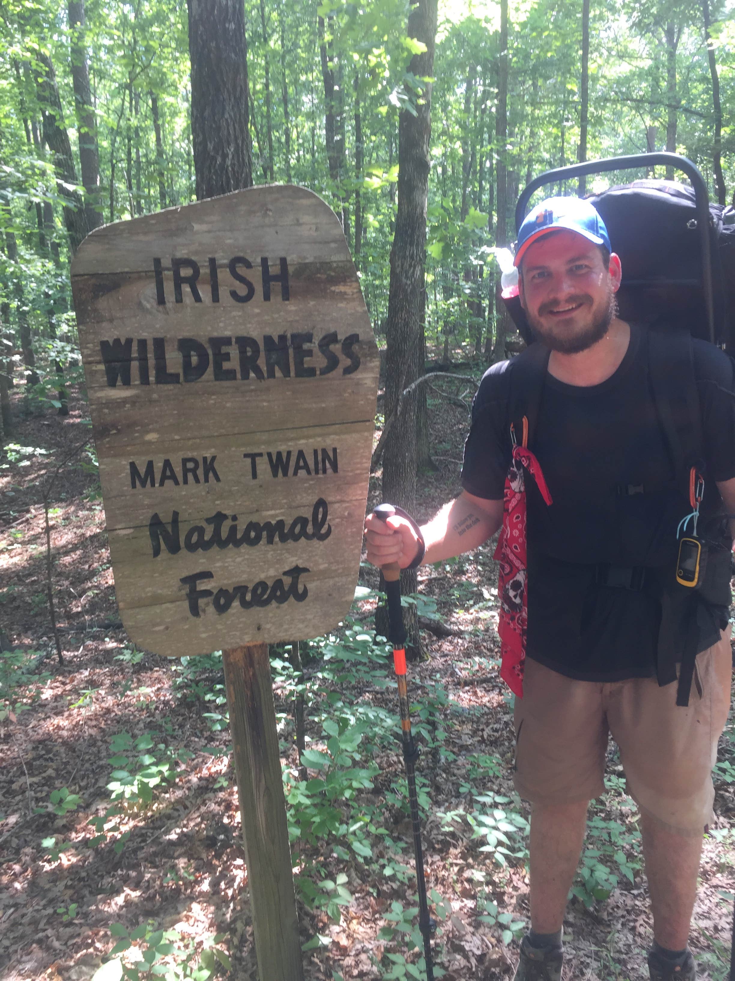
Irish Wilderness
Irish Wilderness in Missouri offers a camping experience surrounded by dense forests and rolling hills. Temperatures range from lows in the 30s Fahrenheit during winter to highs in the 80s during summer. Nearby, campers can explore the Eleven Point National Scenic River and the Mark Twain National Forest, providing opportunities for hiking and water activities.
Description
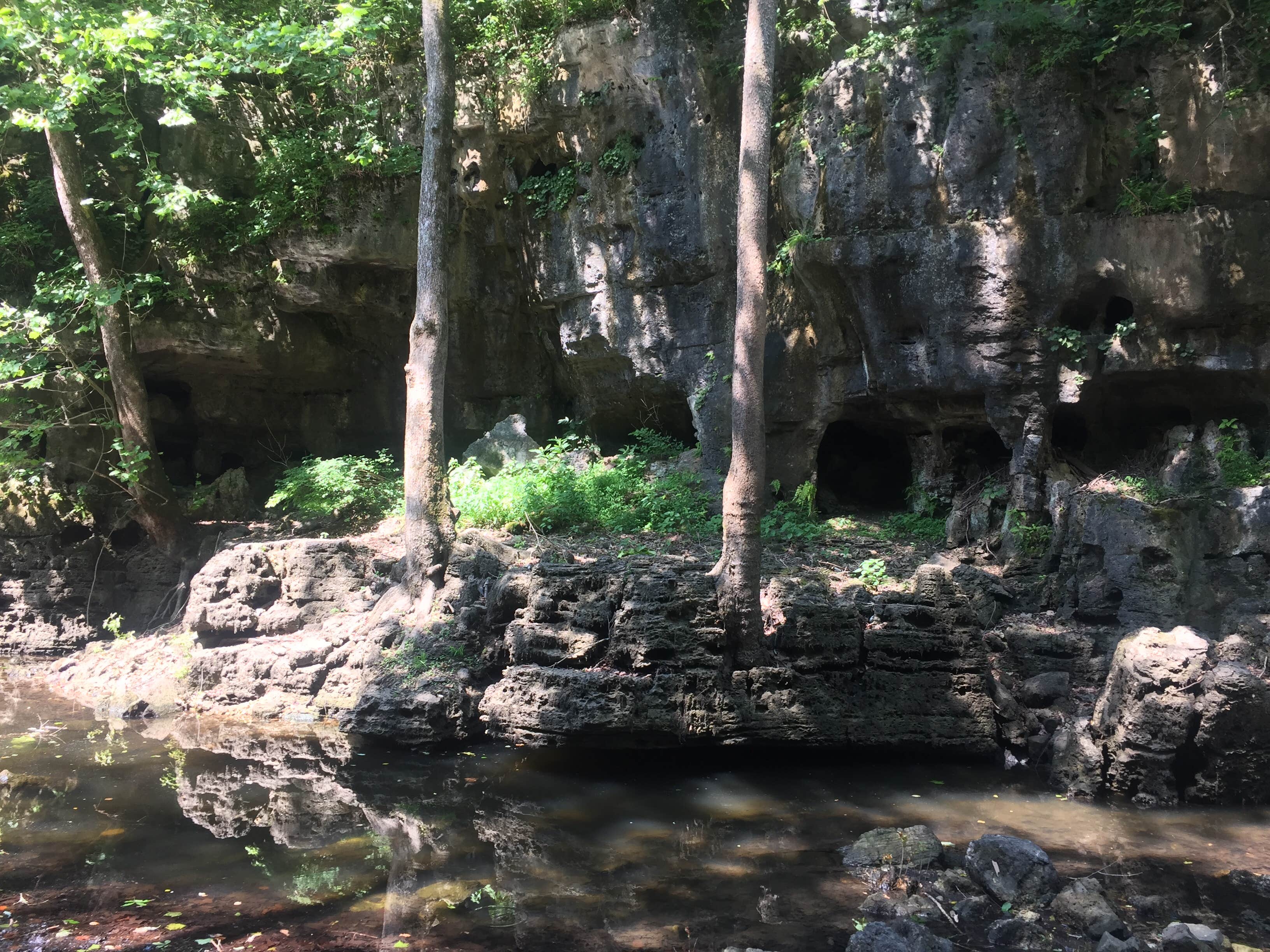
The Irish Wilderness is a dense forest of oaks and hickory. Wilderness is set aside by Congress as a natural area affected primarily by the forces of nature with little evidence of man’s works - “where man himself is a visitor who does not remain.” Many outdoor enthusiasts seek out its peace and special closeness to experiencing the wonders of nature. No two individuals share the same meaning and values of the wilderness experience, but it is primitive and challenging, and recreationists must be self-reliant. In the mid 1800’s a Catholic priest dreamed of a place where Irish immigrants could escape the oppression of urban live in St. Louis. In this wild area of the Ozarks, Father Hogan established a settlement that would forever bear their name, Irish Wilderness. The Irish Wilderness, caught in the middle of the Civil War, became a “no man’s land” and was raided by both Union and Confederate troops as well as bushwhackers. It is not certain what happened to Father Hogan’s Irish immigrants, but after the war they were gone. A printable brochure (5.7m pdf format) of the Wilderness is available for download. Trails: The major way of travel within the Irish Wilderness is the 18.6 mile Whites Creek Trail. From the trailhead at Camp Five Pond to the Eleven Point River, visitors are exposed to a wide variety of natural terrain and geographical relief. From relatively flat land at the beginning, hikers traverse through many ecological zones including dried creek beds, grasslands, glades, bluff country, and breathtaking views overlooking the Eleven Point River. Whites Creek trail is not designed for horse use, but horse use is permitted. Motorized or mechanized use is not permitted. Rating: Moderate. Length: 18.6 miles Best Seasons: Fall, winter, and spring. Leave No Trace: Pack out what you pack in. Restrictions: Foot and Horse only. Please limit your party size to 10 persons. Safety: No drinking water is available at parking areas or along the trail; bring what you will need, or be prepared to sterilize water you find. The Irish Wilderness is a relatively large tract of land, so be sure to bring a compass and always carry a map of the area. Trail signs are minimal. If you become lost, don’t panic. Stay calm and try to remember how you got to your present location. Always let someone, family member or friend, know when you plan to enter the wilderness and when you plan to return. During temperate months, be prepared for biting insects, poison ivy and high temperatures. Be advised of hunting seasons. Avoid using the trail during excessively wet periods. Surface Type: Unsurfaced, native material.
Location
Irish Wilderness is located in Missouri
Directions
To access the Camp Five Pond Trailhead: It is accessible from Doniphan, Mo. Via Highway 160, west 20 miles to State Highway J, then north 7 miles. This same trailhead may be accessed from US Highway 60 to the north by traveling 16 miles south on Highway J to Camp Five Pond.
Coordinates
36.74223821 N
91.20468267 W
Connectivity
- T-MobileNo Coverage
- VerizonNo Coverage
- AT&TNo Coverage
Connectivity
- T-MobileNo Coverage
- VerizonNo Coverage
- AT&TNo Coverage
Access
Site Types
- Tent Sites
- Equestrian
Features
For Campers
- Picnic Table
- Alcohol
- Pets
- Fires
Drive Time
- 2 hrs 14 min from Jonesboro, AR
- 2 hrs 34 min from Cape Girardeau, MO
- 2 hrs 43 min from Springfield, MO
- 3 hrs 16 min from Memphis, TN


