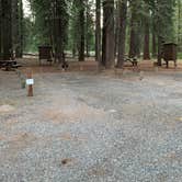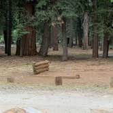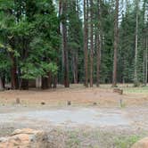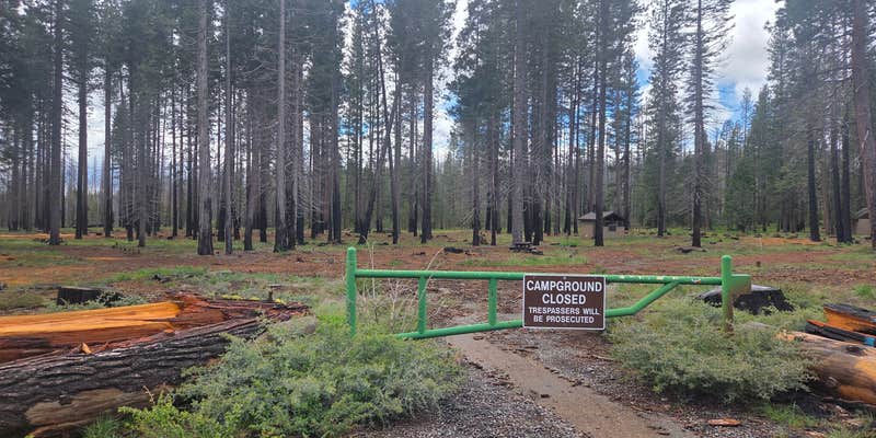
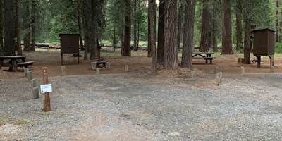
Horseshoe pits and a stream running along the campground edge give Last Chance Creek a few concrete reasons to stop here. The site sits about 4 miles in from Highway 36 via a gravel dirt road, so high-clearance vehicles handle the approach more comfortably. No lake access exists despite the Lake Almanor area address, but the creek provides ambient water noise through the night. The campground runs May through October, and camping near Chester rounds out options for those building a longer itinerary in the region.
RV Road Trip Guides

Map & DirectionsPG&E Lake Almanor Area Last Chance Creek Campground is located in California near Chester
 Private Campground
Directions
From Chester Fire Station, Take Hwy. 36 east 2.2 miles, turn left and follow left fork 0.1 mile, turn right, go 0.3 mile, turn left, go 0.8 mile and follow left fork 0.9 mile, turn right to Last Chance Creek.
Coordinates
40.35409881 N
121.2227464 W
Connectivity
 T-MobileNo Coverage
- VerizonNo Coverage
- AT&TNo CoverageVerified by 2 usersLast on 9/17/26
Connectivity
- T-MobileNo Coverage
- VerizonNo Coverage
- AT&TNo CoverageVerified by 2 usersLast on 9/17/26
Access
Site Types
- Tent Sites