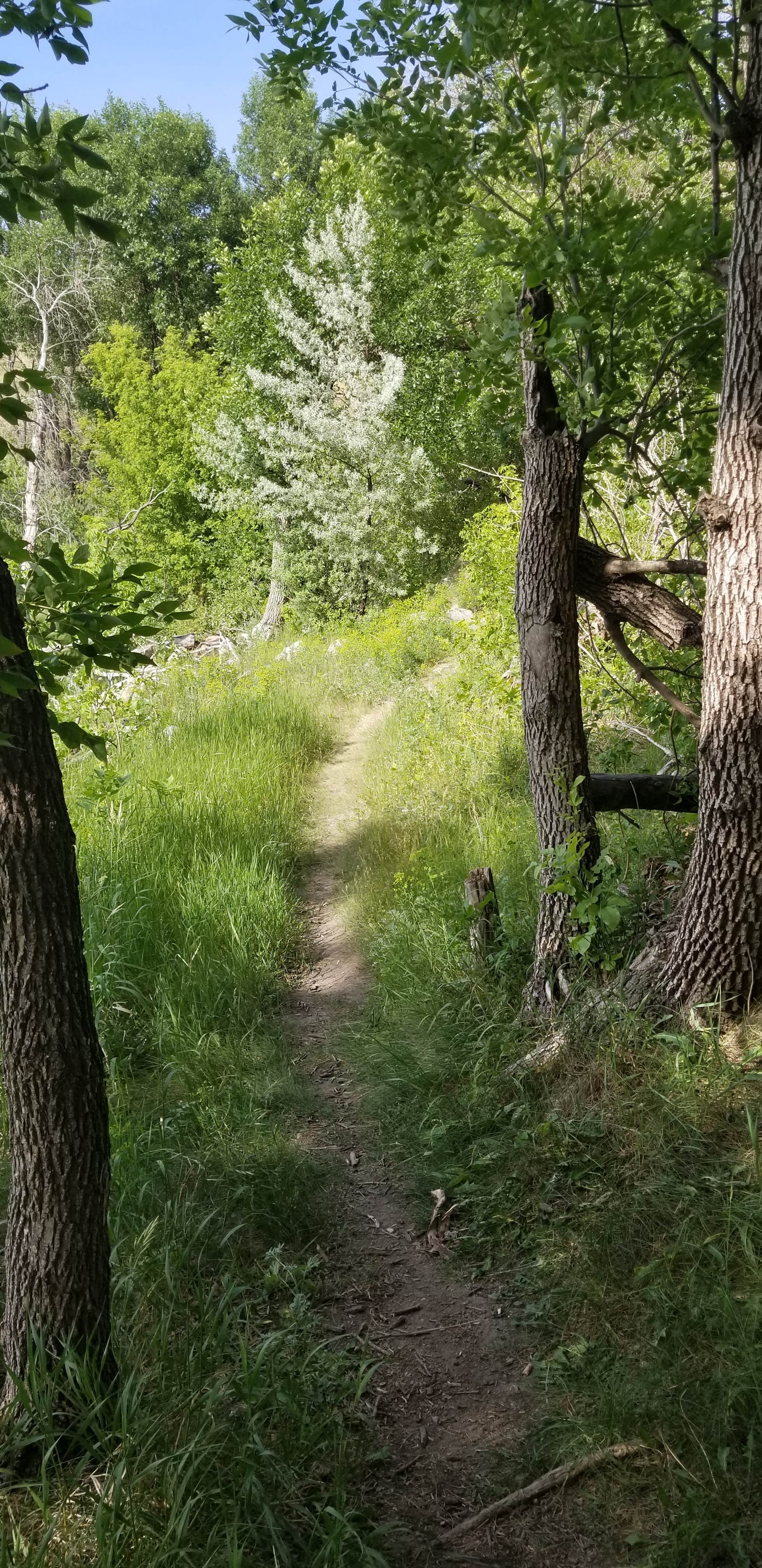
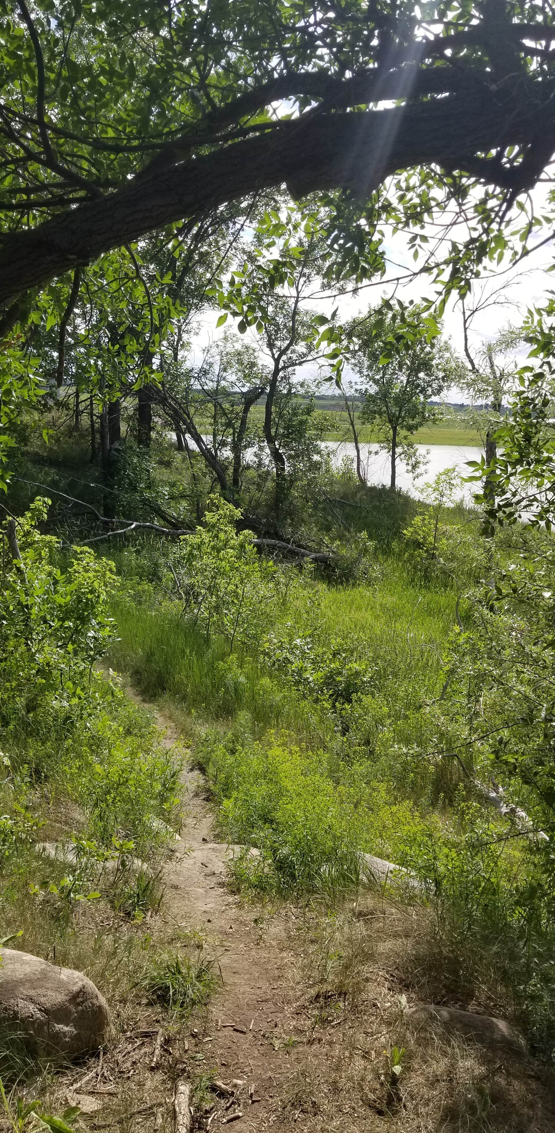
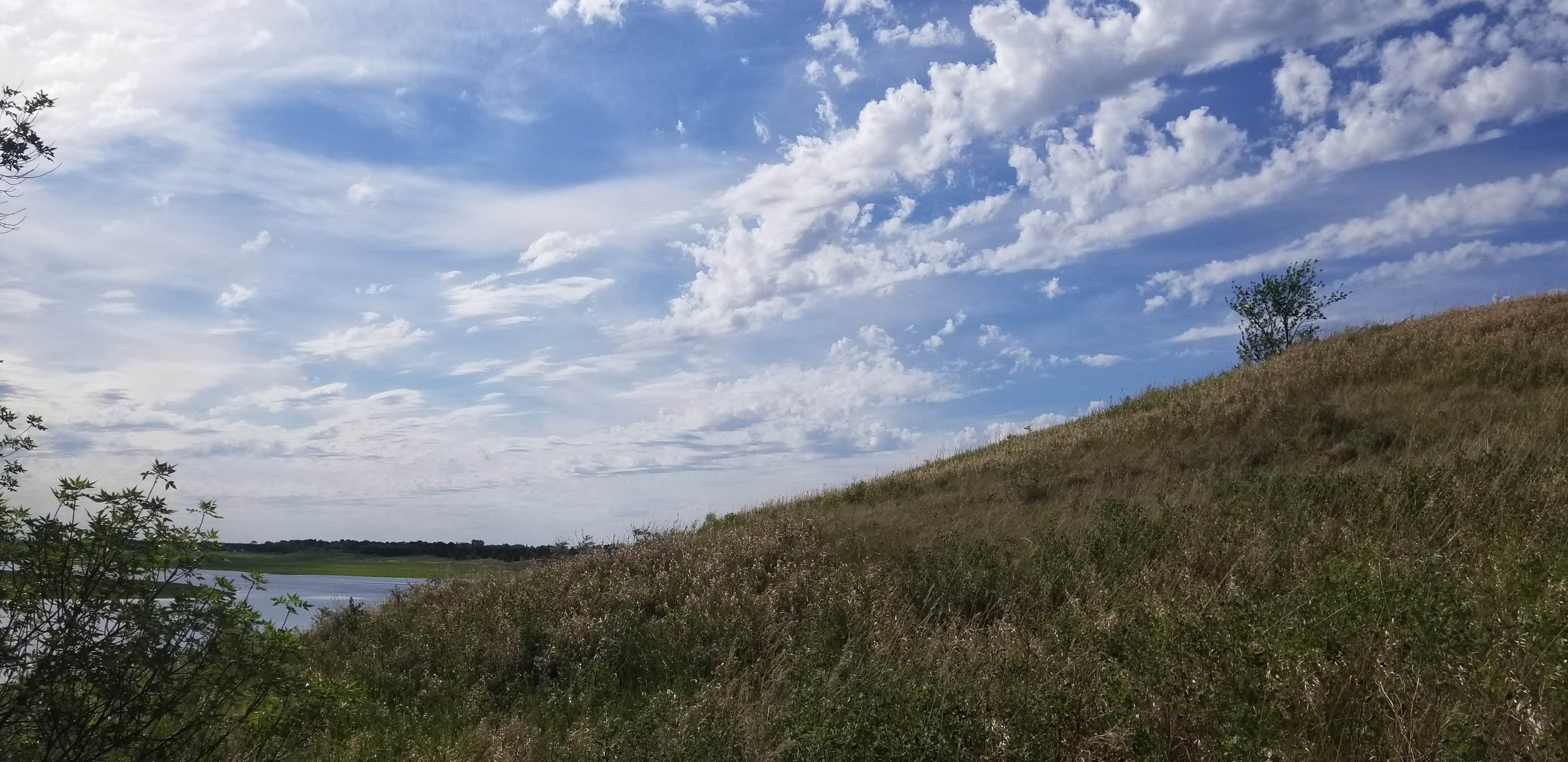
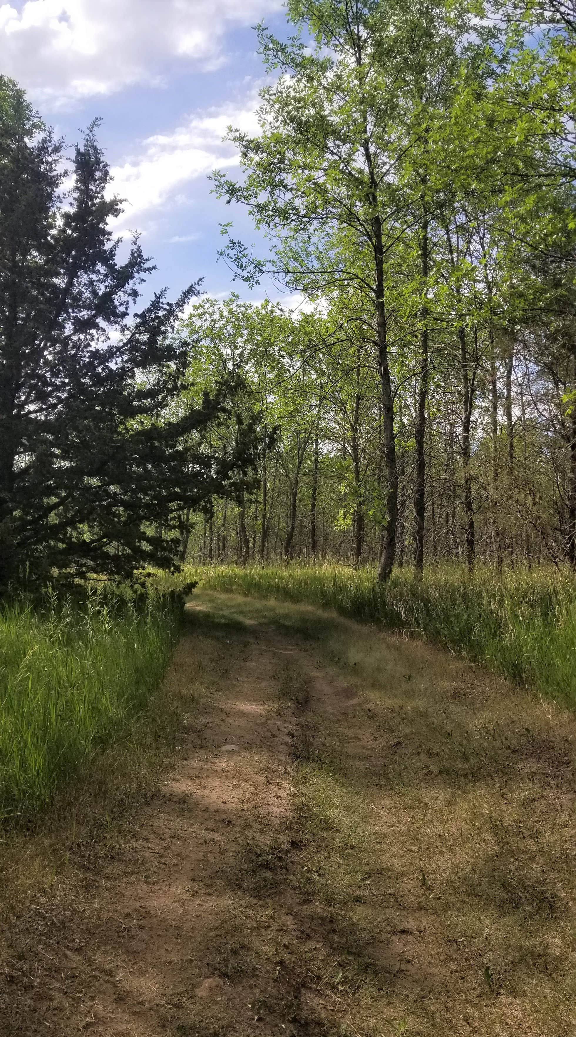
The first thing I think of when I think of Parkhurst Campground/Pipestem Lake rec area are the trails. This area encompasses about 140 acres and contains the 5.5 mile North Ridge Trail, 8 mile Pipestem Creek Trail, and equine trails. The first two are geared towards mountain biking, and hiking. Very pretty prairie hiking as well as lush, wooded tracts. There's easy access to these trails from the campgrounds and they are also very well maintained by the county. There are families who have ATVs with also, as there is some separate land they can have access too.
Parkhurst's campgrounds are tidy and well-kept. There are also typically plenty of regulars camping there who are pretty happy to help if you have questions. This is an Army Corps of Engineers/ County ran campground within a rec area; it's located alongside the Pipestem Creek/Lake. There is a $10/night fee on an honor system, where upon arrival you select your campsite and then fill out a slip and submit your payment at the campground entrance. There are no reservations and it is first some first serve. (Every time we have stayed here there have been plenty of sites available, but I cannot speak for traditionally busy, holiday weekends)
This is a primitive campground that has access to picnic tables, fire rings, vault toilets, waste receptacles, non-potable water, a dump station, shelters, boat docks and ramps, lake/reservoir beaches for swimming, as well as mountain biking, hiking and equine trails. If you needed water on the spot, there is is non-potable water access as well as river/lake water if you filter it yourself. A neighboring farm which you'll drive by sells firewood, as well as several places within Jamestown. Since there is an equine trail there is of course an equine area with corrals, tether lines, and space for trailers.
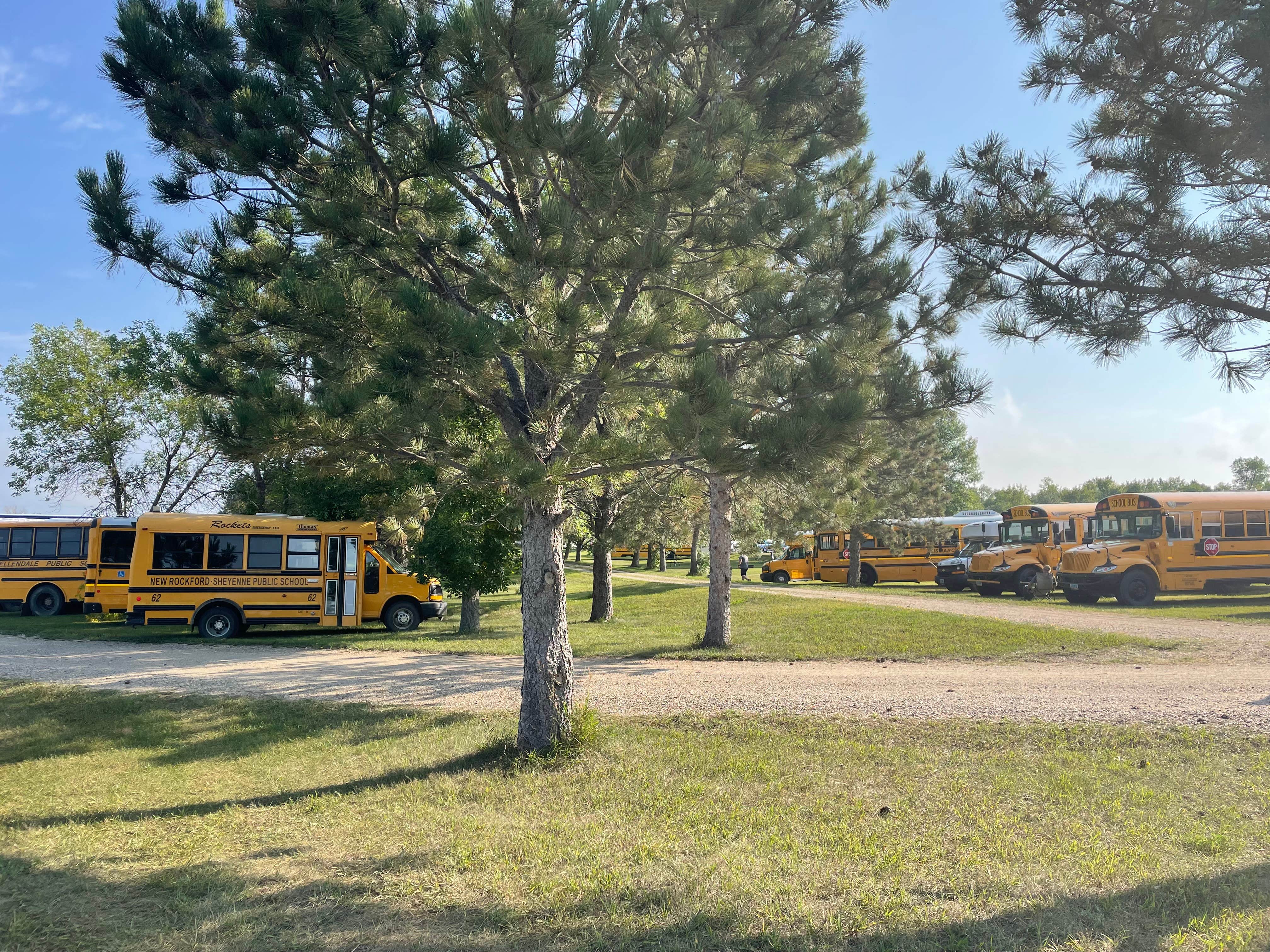
The sites here aren't labeled specifically, so you have to gauge your equipment, vehicles, and how much space you'd typically be taking up. It allows for some flexibility and I haven't seen groups overflowing. Parkhurst is quite expansive in that the northern most end starts at a bit higher elevation, and the southern-most end is a bit lower, and along the lakeside. This is a pretty open campground, across a large large area with dividing roads and trees throughout. Even though spots aren’t secluded typically, and there isn’t site division by trees, we still haven’t been forced to come into contact or interact with neighbors and the rest of the campground.(I mention this knowing that it is something some folks really take into consideration.) Though not a wooded campground, there is still a lot of shade, and the breezes really help with some bug control.
Parkhurst is off of HWY 281 and about 5 miles from the outskirts of Jamestown, a quick and easy drive. When you are navigating to Parkhurst/Pipestem Reservoir area there is south end rec area entrance and then also the campground entrance on the north end, where you would come across the registration area as you head south. Pipestem creek/lake connects from the south to the James River/Jamestown Reservoir which is on the outside of Jamestown. (Plenty of options for groceries, gas, dining, hardware stores etc.)
We really like staying here, whether in a tent or camper. The trails are addicting, personally! If you are camping with a couple groups, it's pretty easy to find neighboring/close campsites as well.

