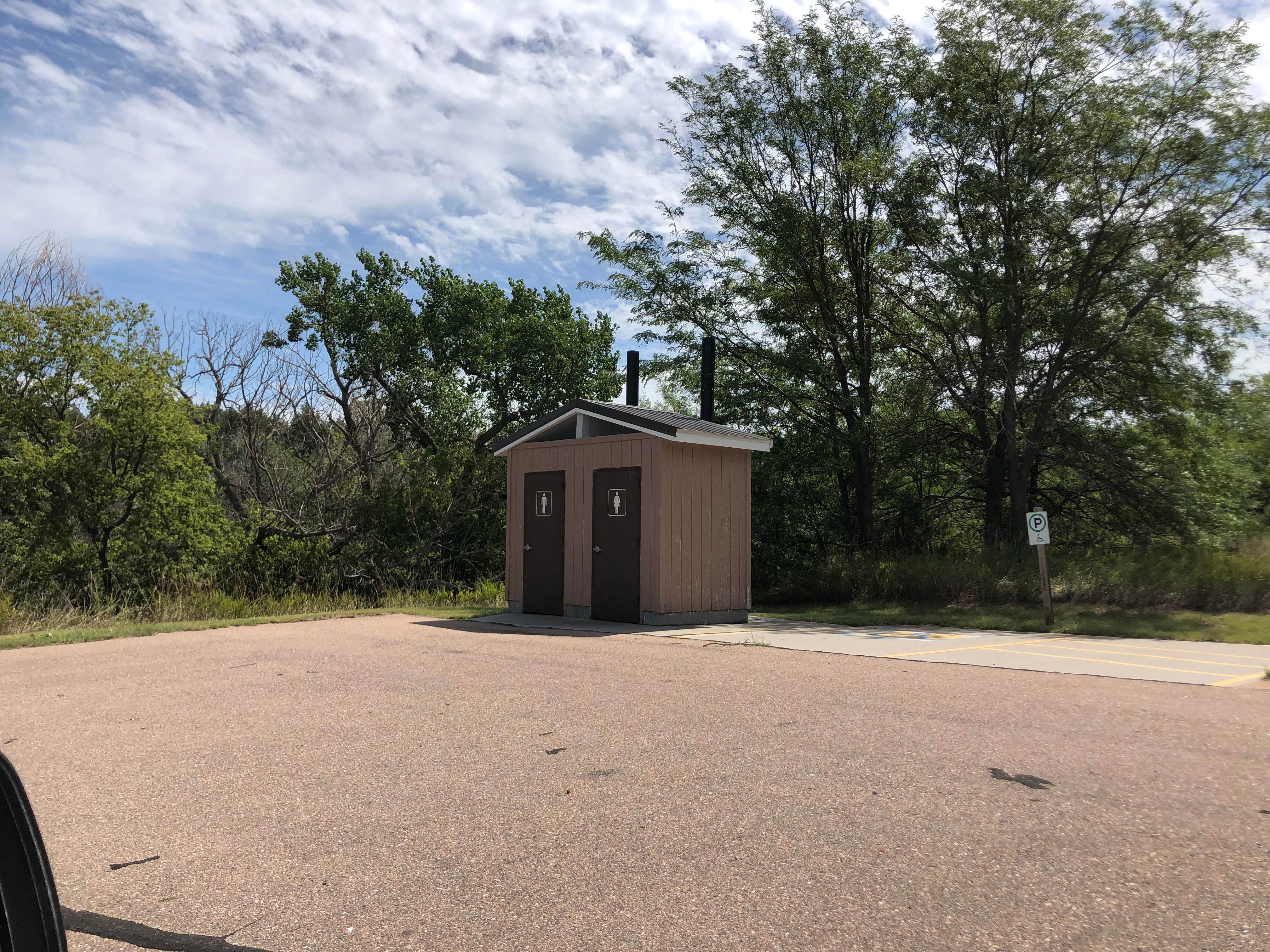
- Pit toilet
- Dispersed camping
- Trash
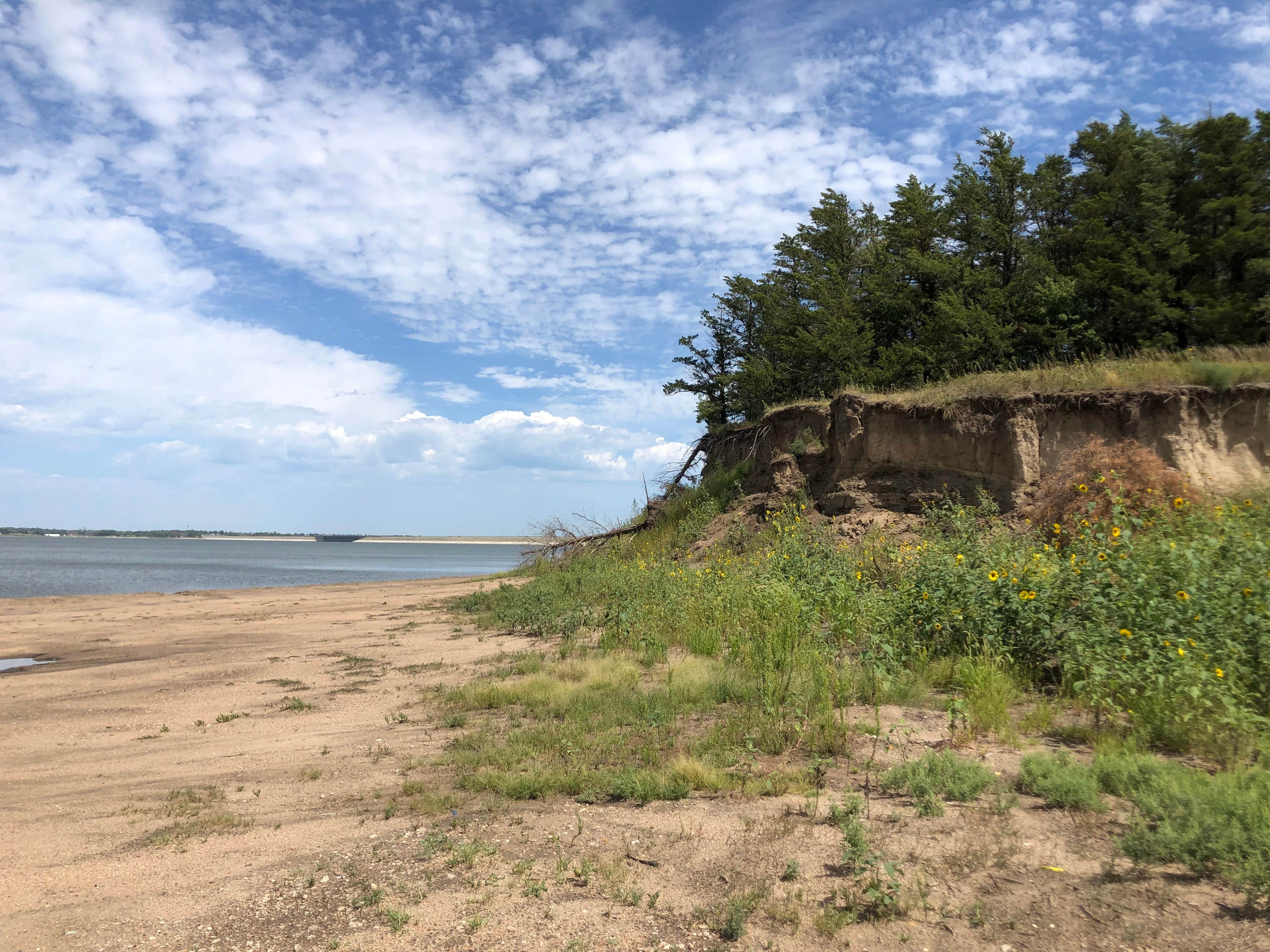
- Beach
Upon turn off follow road to the right and it will lead you to a parking lot and a swimming beach. There is a pit toilet. Road to the swimming beach is pave and in good shape.
To reach the camping area head on down the road after you turn off the main road, that will have you going to the left. There will be another pit toilet and parking area. By the pit toilet are signs stating no parking. The road up to this pit toilet is rather rough. Grass needs to be mowed.
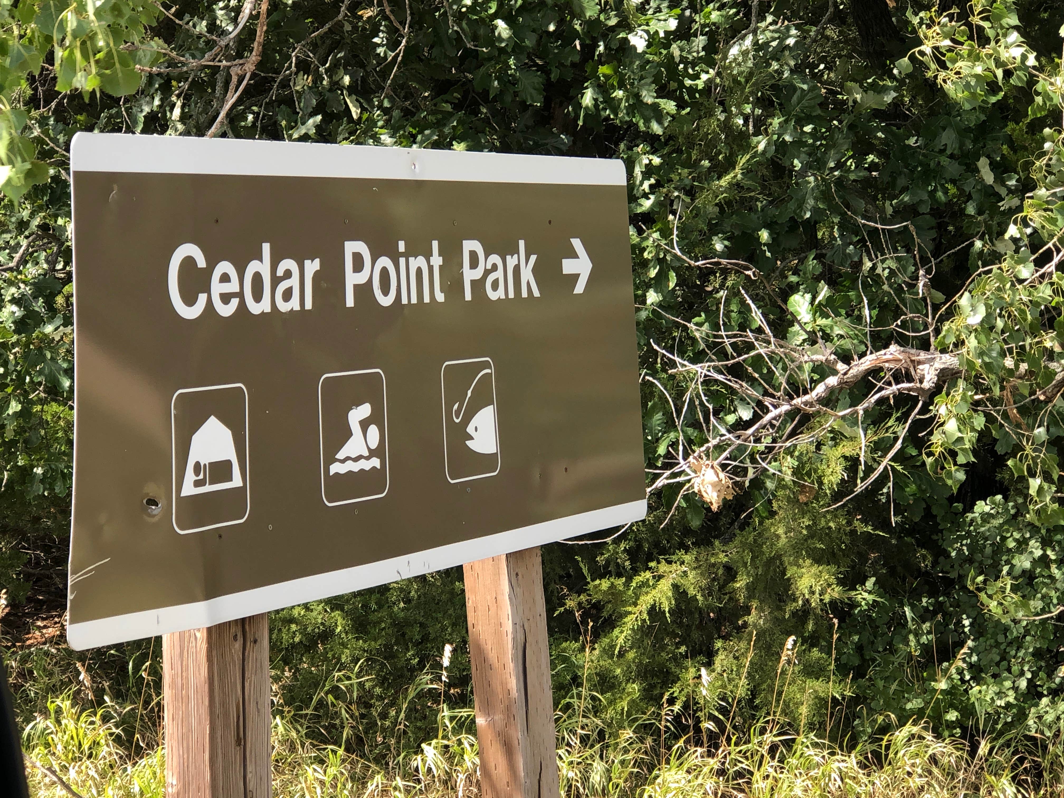
If you continue to head down the road you will come to a beach area which we were able to drive on without problems. It makes for a nice picture of the lake with a dirt cliff on the right. There is not a sign showing camping but the sign on the highway shows a tent. A small trailer, van, or pop up would be great here. It is very primitive, no fire rings, grills, etc.
Great spot to put in a kayak or canoe and dip a line in for walleye, wipers, white bass, northern pike and channel catfish are the most sought-after fish species. Want to go hunting during the many seasons this would also be a great spot to set up camp and hunt for game animals which include pheasant, quail, prairie chicken, white-tailed and mule deer, turkey, waterfowl, rabbit and squirrel. The lake offers a variety of hiking trails of varying length and style, as well as one equestrian trail a short drive away. An off-road vehicle trail is located in nearby Republican City.
- Don't Move Firewood: Protect your forests from tree-killing pests by buying your firewood locally and burning it on-site.
Roads are what I would consider secondary. Rather narrow, especially if you meet a vehicle pulling a boat and you are in an RV so be prepared. Harlan County Lake is set in the rolling plains of south central Nebraska where farming is very important to Nebraska and to the United States. The Republican River begins in eastern Colorado and flows 453 miles through the states of Nebraska and Kansas. Harlan County Lake is the second largest lake in Nebraska and provides year round recreation such as fishing, hunting, and all types of watersports. A claim to fame for Republican City is that it is the "Only" town by this name in the world. Republican City has a population of less than 200 people. It was founded in 1871. The Republican River supplies the lake. Republican City was devastated by "the big flood of 1935" and due to the flood the Corp of Engineers (COE) designed a dam to cross the valley. The town had to be moved to higher ground. The town was moved to higher ground in 1951-52. Homes were loaded onto trucks and placed on foundations already constructed. French traders in the late 1700's named the indigenous people along the river the Republican Pawnee in the mistaken belief that they had a republic type of government. Everything in the area was so named because of that misnomer. Harlan County and an additional almost 18,000 acres of land that surround the lake is managed by the COE. There are six parks which provides the area with a plethor of recreation campsites. When you turn off the main highway there is a liquor store and just down from that is a bait shop where I would guess you could pick up some supplies. There is a market in Alma, Nebraska. Make sure you purchase your supplies before arriving. Enjoy bird watching, fishing, hiking, fishing and other water activities.
Notice to all that bring watercraft. All watercraft pose a threat of AIS Aquatic Invasive Species to the waterways in Nebraska and waterways in other states. Watercraft is the primary source of AIS they must be prepared with an accepted means of ensuring no AIS will enter local waterways. CLEAN DRY Non residents must obtain the AIS decal and apply to watercraft. If a boat is launched from a Nebraska boat facility a AIS decal must be obtained.
LNT
Leave it better than when you found it
Stay safe Happy travels

