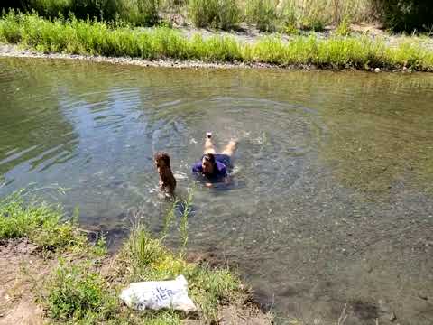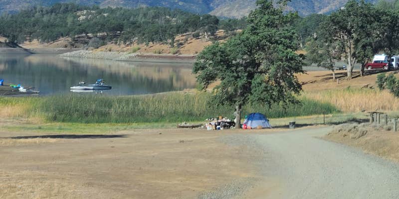
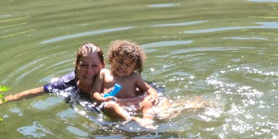
Boat-in and drive-in access make Stonyford Recreation Area a dual-purpose camping spot within Mendocino National Forest, though conditions vary dramatically by season. The US Forest Service maintains basic amenities including toilets, picnic tables, and trash service, with alcohol permitted on-site. Summer temperatures can exceed 105 degrees with minimal shade cover, while the adjacent reservoir may be drawn down significantly to support agricultural needs in the Central Valley. A creek several miles toward town provides an alternative water source when the main reservoir runs low. Old Mill Campground sits one mile south for campers seeking different conditions.
Description
The south end of the Grindstone Ranger District offers over 200 miles of some of the most enjoyable and challenging OHV routes in the nation. The "Mendocino OHV Corridor" is a designated 40 mile, east-west route across the south end of the Forest connecting the Stonyford OHV Staging Area and the Upper Lake OHV Staging Area. The riding area varies in elevation from 1,700 feet (at Fout Springs), to almost 6,000 feet (near Goat Mountain). Vegetation varies from low elevation chaparral to tall pine and fir forest in the high country. The Grindstone Ranger District is not an OHV "park". Off-highway vehicle recreation is just one of the many uses allowed on National Forest lands. Please be considerate of others you may encounter in the forest. Low Resolution Map of Stonyford OHV Area (pdf 1.35mb)
RV Road Trip Guides


Map & DirectionsStonyford Recreation Area is located in California near Stonyford
Coordinates
39.32307396 N
122.64381428 W
Connectivity
 T-MobileNo Coverage
- VerizonNo Coverage
- AT&TNo Coverage
Connectivity
- T-MobileNo Coverage
- VerizonNo Coverage
- AT&TNo Coverage
Access
- Drive-InPark next to your site
- Boat-InSites accessible by watercraft.
Site Types
- Tent Sites
- RV Sites
- Standard (Tent/RV)
- Group
Features
For Campers
- Trash
- Picnic Table
- Toilets
- Alcohol