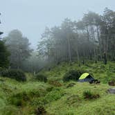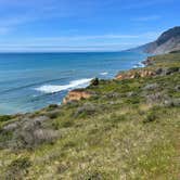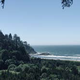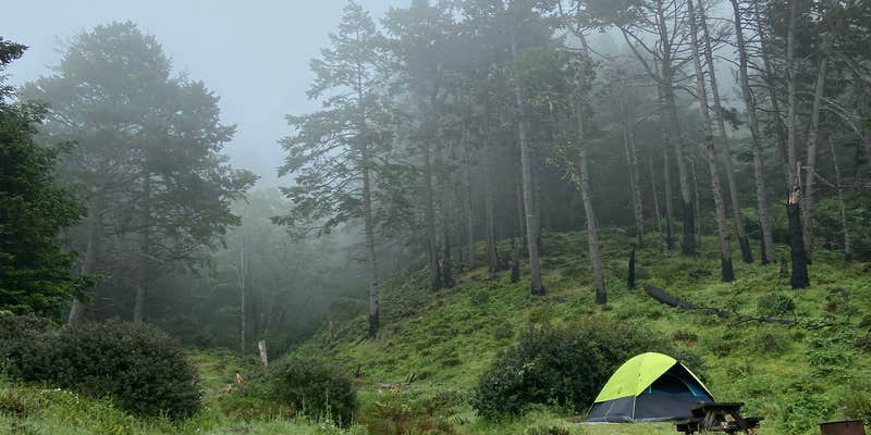
Sinkyone Wilderness State Park encompasses Bear Harbor Campsites, a remote coastal camping area managed by California Department of Parks and Recreation along California's rugged Lost Coast. Access requires local roads only, with no RV accommodation due to the terrain and route limitations.
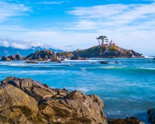
The campground operates as a pack-in, pack-out facility with no developed amenities. Campsites sit near rocky shoreline where tide pools contain starfish and sea anemones, and the location falls along gray whale migration routes. The area remained closed for maintenance through 2022 but has since reopened for both hiking and camping. Campers should check current status on the state park website before planning trips, as seasonal closures may occur.
RV Road Trip Guides

Map & DirectionsBear Harbor Campsites is located in California near Whitethorn
 Public Campground
Directions
North end – Needle Rock: 36 mi southwest of Garberville & Redway. Briceland Road west from Redway. this road becomes Mendocino County Road 435. The last 3.5 miles are unpaved, steep, & narrow. South end – Usal Beach: Approximately one hour north of Ft Bragg on PCH or 15 miles west of Leggett on PCH from Highway 101. Look for mile marker 90.88 on PCH. Turn north on small dirt road; 6 miles to Usal on unpaved, steep, narrow road.
Coordinates
39.91429501 N
123.93850928 W
Connectivity
 T-MobileNo Coverage
 VerizonLTESome CoverageVerified by 1 userLast on 1/15/26
- AT&TNo Coverage
Connectivity
- T-MobileNo Coverage
- VerizonLTESome CoverageVerified by 1 userLast on 1/15/26
- AT&TNo Coverage