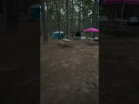

The campground sits on hillside terrain within the Piney Woods, where sites scattered among pine and hardwood trees create a more intimate camping experience than many state parks. Campers find themselves positioned above the Neches River Valley, with the historic Franciscan mission replica serving as a central landmark just steps from the main bathroom facilities.
Site selection proves crucial here, as Daniel L. notes the main camping loop "was very crowded and cramped mid-week." Sites A and B near the playground offer more seclusion but come with steady foot traffic from hikers accessing nearby trailheads. The hillside placement means RV campers should prioritize pull-through sites, while back-in spots work better for tent camping. Several reviewers mention tent pad sizes vary significantly across sites.
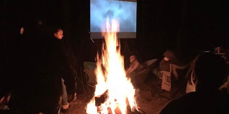
Each site includes standard amenities with electric and water hookups, fire rings, picnic tables, and tent pads. The park accommodates RVs up to 50 feet, though some sections occasionally close due to infrastructure issues like sinkholes affecting road access. Brian V. found "each site has a fire ring, water, a table, and a tent pad" with bathrooms within walking distance. Bundled firewood is available through donations, and a dump station operates at the campground entrance.
Hiking trails range from easy to challenging difficulty levels, winding through the forest to destinations like Fire Tower Hill, Sentry Pine, and historic CCC bathtubs. The Camino Real trail follows the path of the original Old San Antonio Road. Cell service remains spotty throughout the park and surrounding area, so campers should prepare accordingly. Water spigots appear throughout the campground, though some may require walking to cleaner sources near the playground.
Reservations fill quickly, especially during peak seasons, making advance booking essential. For campers seeking more spacious sites, Davy Crockett National Forest Hunter's Camp provides an alternative five miles east.
Description
For further information about this park, Click here
If your plans change, please modify or cancel your reservation as soon as possible to allow someone else to enjoy the park.
DAY USE FEE:
$3 per day, per person 13 and older.
OFFICE AND GATE INFORMATION:
This park does not have a gate.
TOUR INFORMATION:
The Group School-Sponsored Trip Tour Fee is $1 per person.
SWIMMING:
No Swimming at the park. You may swim at Ratcliff Lake, 12 Miles Away. Contact park for info. and Reservations on the Mission San Francisco De Los Tejas. (Mission Commemorative Structure). Groups or individuals may use this mission.
PARK PHONE NUMBER: 936-687-2394
RV Road Trip Guides


Map & DirectionsMission Tejas State Park Campground is located in Texas near Alto
Directions
From Houston: Take I 45 North to Huntsville. Take Hwy 19 North to Crockett. Take Hwy 21 East for 21 miles to the park. Or Hwy 59 to Lufkin,then 69 North to Alto,then Hwy 21 West for 12 miles to park. From Dallas: Take I 45 South to Centerville. Take Hwy 7 East to Crockett take Hwy 21 East for 21 miles to the park. OR take Hwy 175 South to Jacksonville. Take Hwy 69 South to Alto. Take Hwy 21 West for 12 miles to the park.
Address
19343 State Highway 21 East
Grapeland, TX 75844
Coordinates
31.54792052 N
95.23785218 W
Connectivity
 T-MobileNo CoverageVerified by 5 usersLast on 7/16/26
 VerizonLTESome Coverage
- AT&TNo Coverage
Connectivity
- T-MobileNo CoverageVerified by 5 usersLast on 7/16/26
- VerizonLTESome Coverage
- AT&TNo Coverage
Access
- Drive-InPark next to your site
- Walk-InPark in a lot, walk to your site.
Site Types
- Tent Sites
- RV Sites
- Standard (Tent/RV)
- Group
Features
For Campers
- Picnic Table
- Reservable
- Showers
- Electric Hookups
- Pets
- Fires
For Vehicles
- Sanitary Dump
- Sewer Hookups
- Water Hookups
- Pull-Through Sites
- 30 Amp Hookups
- 50 Amp Hookups
- Big Rig Friendly
Drive Time
- 1 hr 8 min from Tyler, TX
- 1 hr 24 min from Longview, TX
- 1 hr 37 min from College Station, TX
- 2 hrs 1 min from Shreveport, LA