Top Dispersed Camping near Moncure, NC
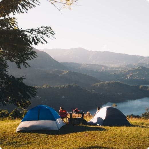
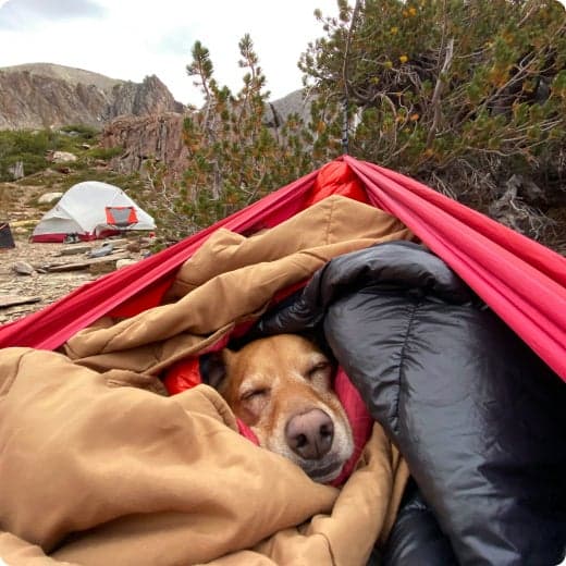
Looking for dispersed camping near Moncure? With The Dyrt, it's easy to find peaceful dispersed camping near Moncure. Search nearby dispersed campgrounds or find top-rated spots from other campers.
Looking for dispersed camping near Moncure? With The Dyrt, it's easy to find peaceful dispersed camping near Moncure. Search nearby dispersed campgrounds or find top-rated spots from other campers.
There are approximately 51,000 acres of National Forest System lands in Montgomery, Randolph and Davidson Counties. The Uwharrie National Forest includes the Uwharrie Ranger District Office, located at 789 NC Highway 24/27 East, Troy, NC 27371. At the district office you can obtain information about the area, get brouchures, camping information, trail passes, and permits. You can also obtain a Senior pass, Disabled Pass. We also have USGS Topo maps for sale. Primitive dispersed camping is allowed throughout the Forest, except in those areas that are posted "No Camping". These sites can be found along most of Forest Service roads and trails. Please remember when using these sites to be careful with camp fires and carry out your trash and debris. Please leave your campsite in good clean condition so that others who follow you may also enjoy the Forest. The Uwharrie National Forest is part of the 2 million acres of public lands managed by the North Carolina Wildlife Resources Commission for public hunting, trapping and fishing, and are designated as Game Lands. In addition to the appropriate basic annual hunting license, a Game Lands Privilege license must be obtained to hunt on the Uwharrie National Forest. Information concerning seasons, bag limits, and special Game Lands Restrictions are found in the annual N.C. Inlands Fishing, Hunting and Trapping Regulations Digest, available where licenses are sold. Camping and Day-use Information Enjoy camping or a picnic at one of the many day-use areas. A list of camping and day-use areas in the Uwharrie National Forest can be found here. You may enjoy this story on a QR guided trail in the national forest. OHV Trail Vendors. Shooting Range Vendors. Recreation Maps Uwharrie National Forest map Trail Strategy Documents, Presentations and Maps Badin Lake Area map Morris Mountain Area map North Eastern Portion map South Eastern Portion map Wood Run Area map Documents... Presentations... Be Safe The national forests in North Carolina offer a wide variety of outdoor recreation opportunities. From the mountains to the sea, there are many exciting adventures awaiting your visit to these national forests. Please keep in mind that all outdoor recreational activities on the Croatan, Pisgah, Nantahala and Uwharrie national forests, including activities at recreation sites, have inherent risks due to the natural setting in which they occur. Always remember, your safety is your responsibility. Badin Lake OHV Trails close December 18th at 8:00 am OHV Trails will reopen April 1st in the morning OHV annual passes will be available from the Uwharrie Ranger District office or the Eldorado Outpost
Free camping from September 1 - February 28, and March 31 - May 14. Designated as Hunter Camping, accessible to all.
Access Map: https://www.ncwildlife.org/Portals/0/Hunting/Game-Land-Maps/Piedmont/Butner-Falls-of-Neuse.pdf

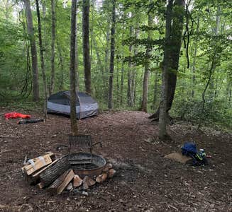
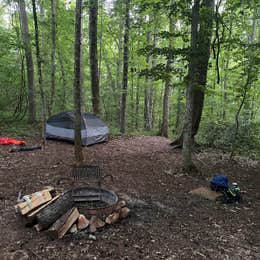
Located 4 miles outside of Anderson Creek County Park this dispersed camping site is a calming and restorative getaway location.
Anderson Creek County Park is located in southwestern Harnett County and consists of 1014 acres between Nursery Rd and Powell Farm Rd. The park will be developed through phases into a multi-use facility that will offer a variety of activites and experiences for the local residents.
The Shallow Ford Campsites are located along The Haw river. The Haw River Trail provides public access to Alamance County’s most important natural feature. Built on the idea of conservation through recreation, the land and paddle trails allow the community to explore and appreciate its river while helping to conserve and protect this important resource.
Primitive backcountry campsite located approximately one mile from parking area. Access by hiking or paddling only!
The department requires that a responsible adult accompany each group. Group limit is 10 people.
Fee: $10 per group (County & Non-County Resident)
Please choose your arrival day for your reservation, we will know you are staying the night.
$10 / night
There are approximately 51,000 acres of National Forest System lands in Montgomery, Randolph and Davidson Counties. The Uwharrie National Forest includes the Uwharrie Ranger District Office, located at 789 NC Highway 24/27 East, Troy, NC 27371. At the district office you can obtain information about the area, get brouchures, camping information, trail passes, and permits. You can also obtain a Senior pass, Disabled Pass. We also have USGS Topo maps for sale. Primitive dispersed camping is allowed throughout the Forest, except in those areas that are posted "No Camping". These sites can be found along most of Forest Service roads and trails. Please remember when using these sites to be careful with camp fires and carry out your trash and debris. Please leave your campsite in good clean condition so that others who follow you may also enjoy the Forest. The Uwharrie National Forest is part of the 2 million acres of public lands managed by the North Carolina Wildlife Resources Commission for public hunting, trapping and fishing, and are designated as Game Lands. In addition to the appropriate basic annual hunting license, a Game Lands Privilege license must be obtained to hunt on the Uwharrie National Forest. Information concerning seasons, bag limits, and special Game Lands Restrictions are found in the annual N.C. Inlands Fishing, Hunting and Trapping Regulations Digest, available where licenses are sold. Camping and Day-use Information Enjoy camping or a picnic at one of the many day-use areas. A list of camping and day-use areas in the Uwharrie National Forest can be found here. You may enjoy this story on a QR guided trail in the national forest. OHV Trail Vendors. Shooting Range Vendors. Recreation Maps Uwharrie National Forest map Trail Strategy Documents, Presentations and Maps Badin Lake Area map Morris Mountain Area map North Eastern Portion map South Eastern Portion map Wood Run Area map Documents... Presentations... Be Safe The national forests in North Carolina offer a wide variety of outdoor recreation opportunities. From the mountains to the sea, there are many exciting adventures awaiting your visit to these national forests. Please keep in mind that all outdoor recreational activities on the Croatan, Pisgah, Nantahala and Uwharrie national forests, including activities at recreation sites, have inherent risks due to the natural setting in which they occur. Always remember, your safety is your responsibility. Badin Lake OHV Trails close December 18th at 8:00 am OHV Trails will reopen April 1st in the morning OHV annual passes will be available from the Uwharrie Ranger District office or the Eldorado Outpost
Free camping from September 1 - February 28, and March 31 - May 14. Designated as Hunter Camping, accessible to all.
Access Map: https://www.ncwildlife.org/Portals/0/Hunting/Game-Land-Maps/Piedmont/Butner-Falls-of-Neuse.pdf
Located 4 miles outside of Anderson Creek County Park this dispersed camping site is a calming and restorative getaway location.
Anderson Creek County Park is located in southwestern Harnett County and consists of 1014 acres between Nursery Rd and Powell Farm Rd. The park will be developed through phases into a multi-use facility that will offer a variety of activites and experiences for the local residents.
The Shallow Ford Campsites are located along The Haw river. The Haw River Trail provides public access to Alamance County’s most important natural feature. Built on the idea of conservation through recreation, the land and paddle trails allow the community to explore and appreciate its river while helping to conserve and protect this important resource.
Primitive backcountry campsite located approximately one mile from parking area. Access by hiking or paddling only!
The department requires that a responsible adult accompany each group. Group limit is 10 people.
Fee: $10 per group (County & Non-County Resident)
Please choose your arrival day for your reservation, we will know you are staying the night.
$10 / night