Free Camping Collection
Dispersed Camping
Fishtrap Recreation Area
About
Bureau of Land Management
The Fishtrap Area offers 9,000 acres of beautiful landscapes and an old farmstead, with habitats ranging from forest to shrub-steppe, grassland, and wetlands. Fishtrap is home to two scenic fishing lakes and numerous species of birds and other wildlife.
The historic Folsom Farm Recreation Site demonstrates how the landscape was converted into small farms, ranches, and communities beginning in the late 1800’s.
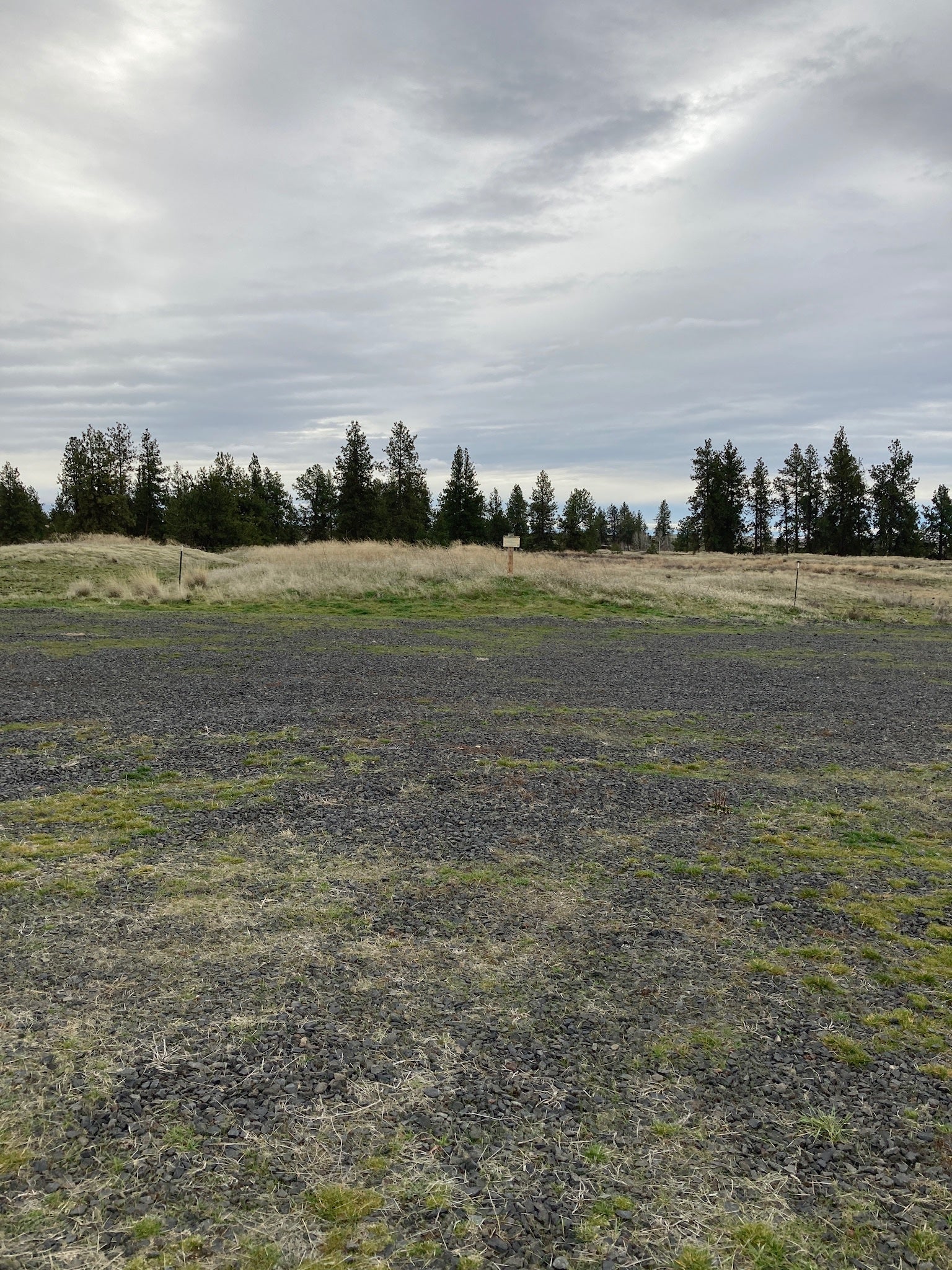
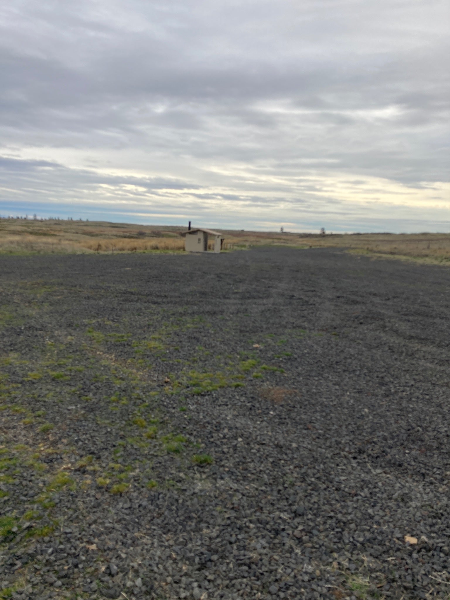
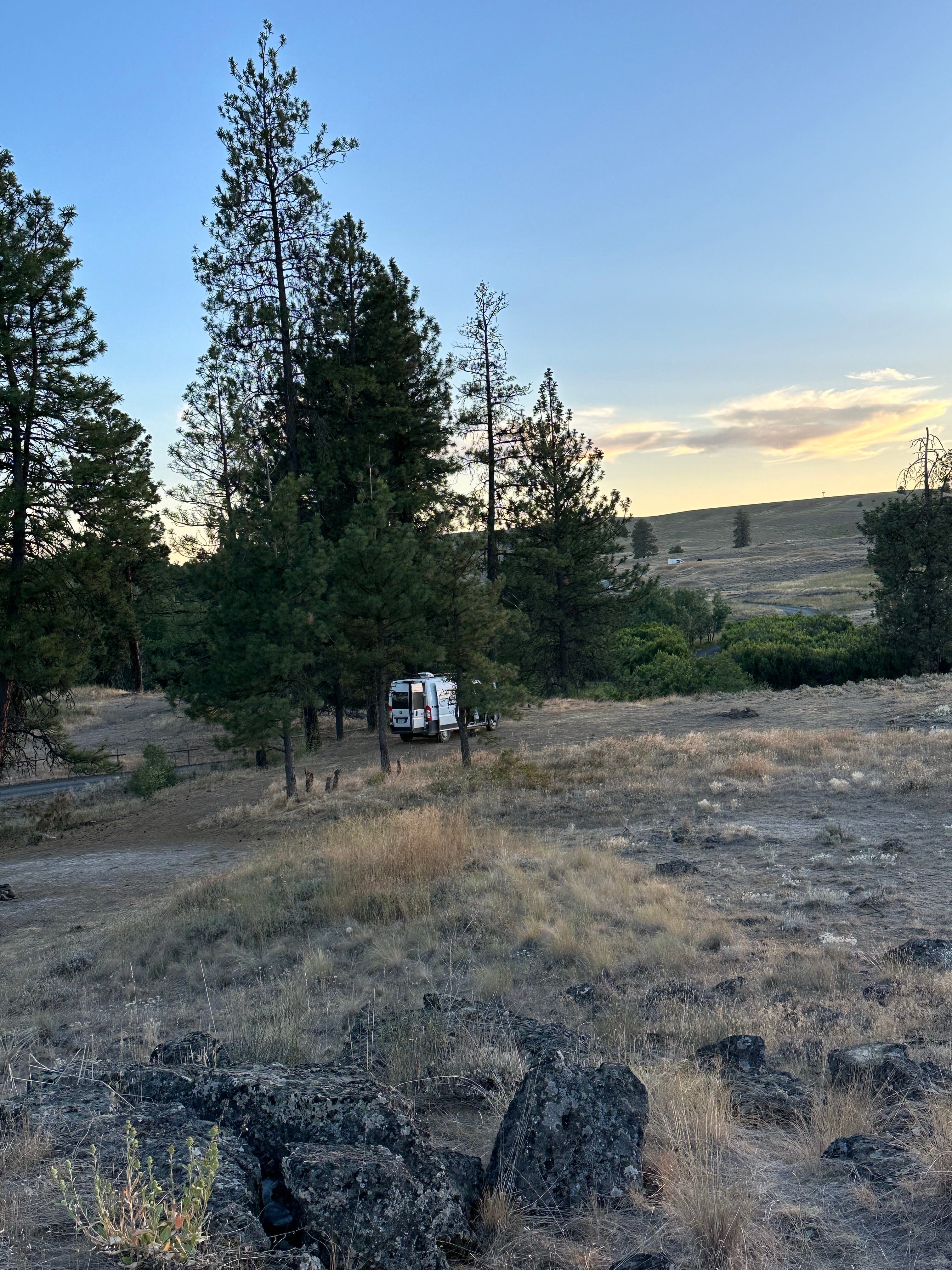
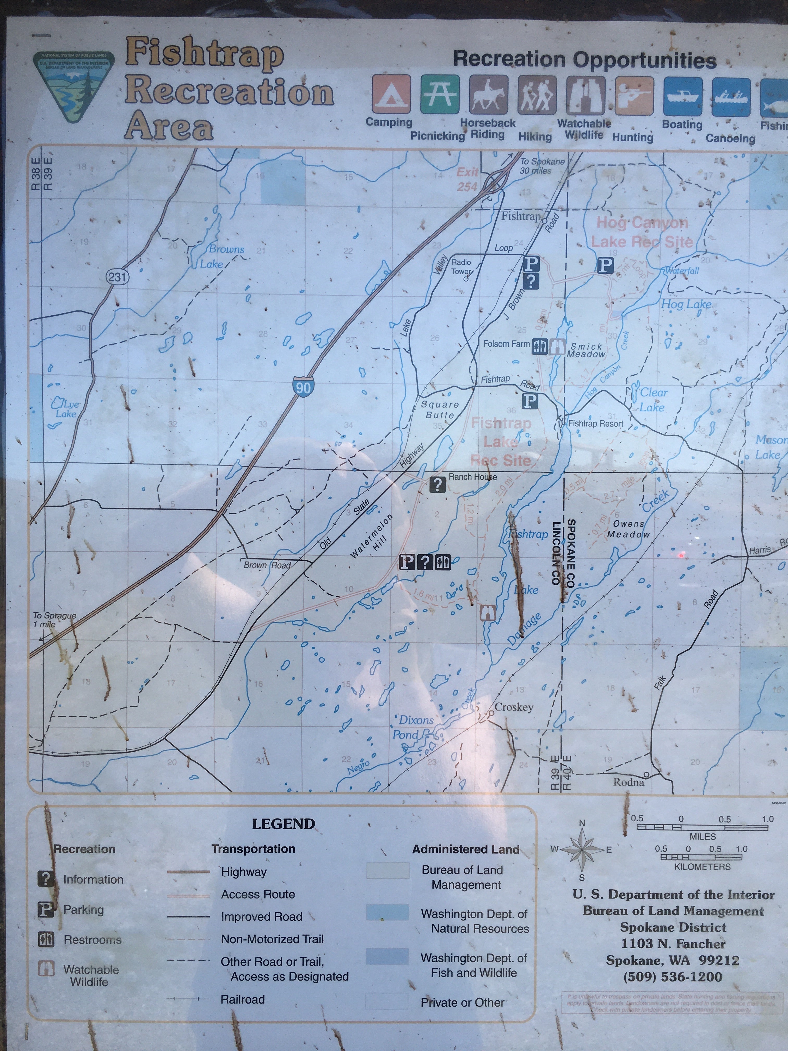
Enjoy the chance to explore, view and study nature, picnic, backpack, horseback ride, mountain bike, or hunt throughout the entire Fishtrap area. Fishing for stocked rainbow trout is popular at Fishtrap Lake, and during the winter season at Hog Canyon Lake. Know Before You Go: Fishtrap Recreation Area is open year-round has no developed campsites. The South Loop Trailhead parking lot has substantial space for vehicle and RV parking/camping. Additional minimal space is available at the Folsom Farm, and Hog Lake Loop Trailhead parking lots. See the Fishtrap Area map. vehicle and RV parking/camping is limited to existing parking areas and camping pull-outs. Dispersed (tent) camping is allowed. Please practice the seven Leave No Trace principles when recreating on Public Lands. Check Washington Department of Fish and Wildlife (WDFW) fishing regulations for fishing seasons at Hog Canyon Lake and Fishtrap Lake. Both lakes have concrete boat launches maintained by Washington Department of Fish and Wildlife (a paid in advance parking permit from WDFW is required.)
Location
Fishtrap Recreation Area is located in Washington
Directions
Fishtrap is just a 30-mile drive southwest of Spokane, Washington. From Interstate 90, take Exit 254, and then travel east for 1.75 miles to the public land access.
Coordinates
47.33401758 N
117.862981 W
Access
- Drive-InPark next to your site
Stay Connected
- WiFiGood
- VerizonUnknown
- AT&TFair
- T-MobileUnknown
Site Types
- Dispersed
Features
For Campers
- ADA Access
- Toilets
- Alcohol
- Pets
- Fires
For Vehicles
- Big Rig Friendly


