Established Camping
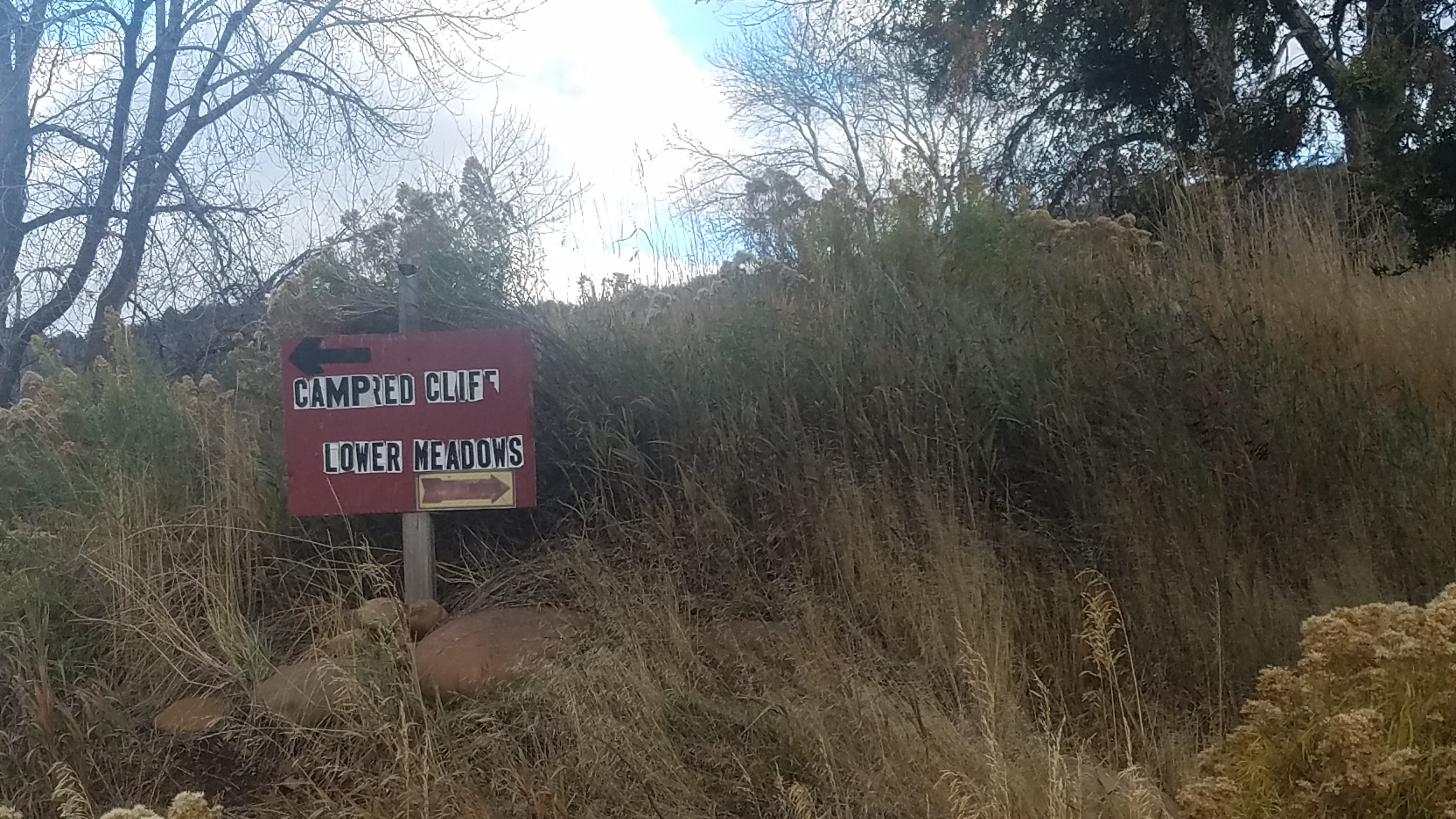
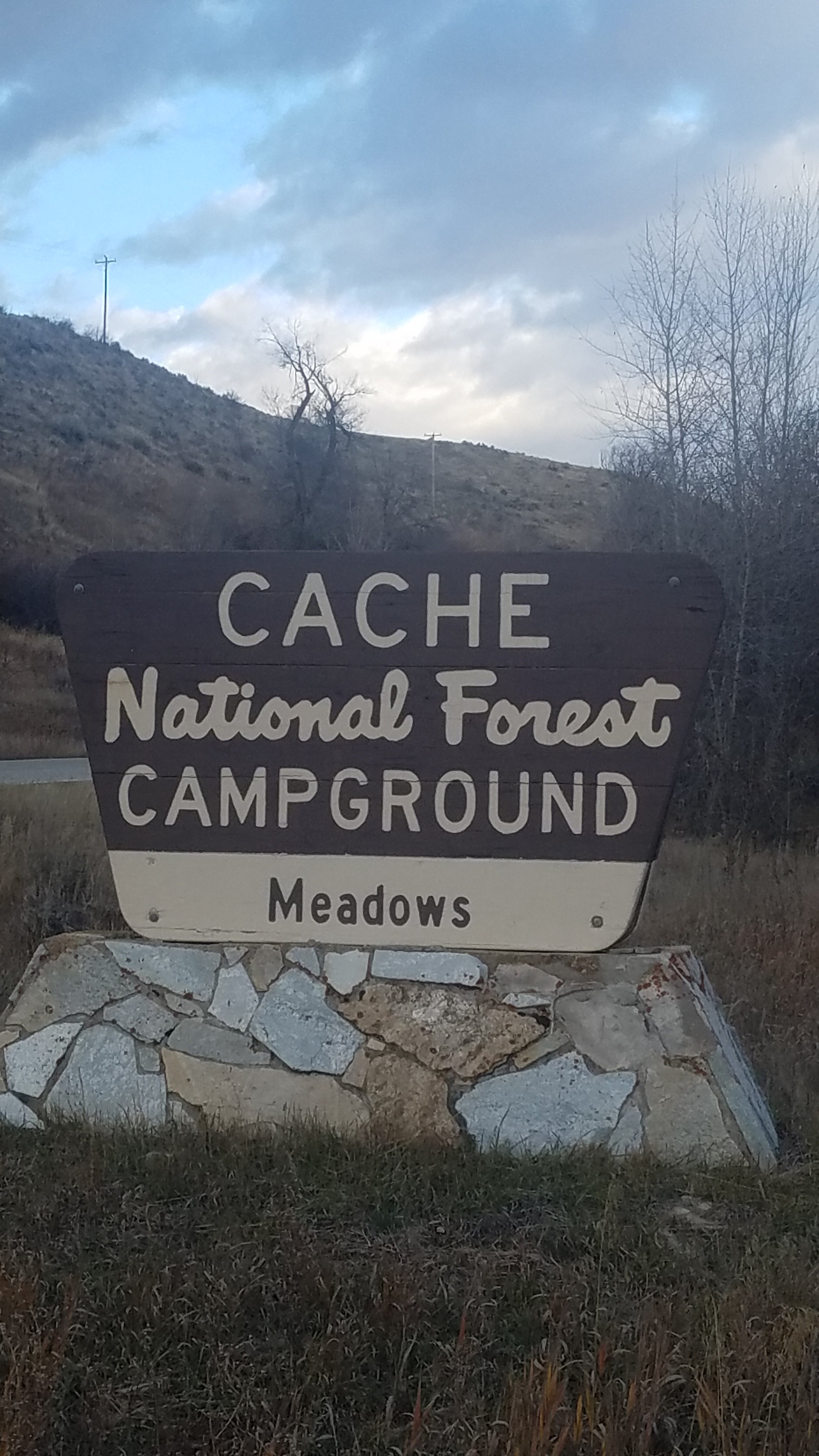
Lower Meadows Campground
About
National Forest
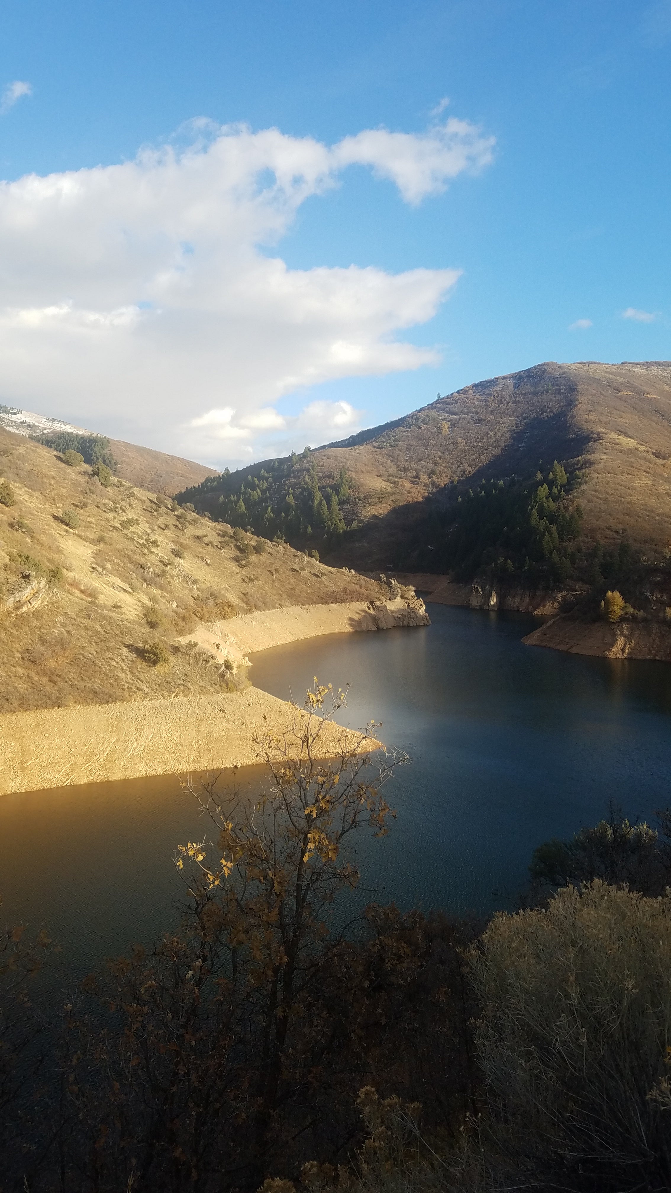
This campground is located on the far side of the river from Highway 39. The entrance is the same as Upper Meadows, but instead of turning left, stay on the road, cross the bridge and turn to the right at the top of the hill. This campground is one of the most spacious with the individual sites quite far apart. The grass is usually tall and thick. This campground has firewood available to purchase from the on-site Campground Host. Popular local recreation activities include fishing, hiking, swimming and tubing down the South Fork Ogden River (a life jacket is required for all tubers). Causey Reservoir, a scenic mountain lake, is four miles east.
Location
Lower Meadows Campground is located in Utah
Directions
From Ogden, UT, take State Rt. 39 east 18.2 miles to campground sign. Turn right at sign and go 0.5 miles to the lower section of campground.
Coordinates
41.28669088 N
111.64322897 W
Access
- Drive-InPark next to your site
Stay Connected
- WiFiUnknown
- VerizonUnknown
- AT&TUnknown
- T-MobileUnknown
Site Types
- Tent Sites
- RV Sites
- Group
Features
For Campers
- ADA Access
- Trash
- Picnic Table
- Firewood Available
- Reservable
- Drinking Water
- Toilets
- Alcohol
- Pets
- Fires
For Vehicles
- Sanitary Dump
- Water Hookups


