Dispersed Camping
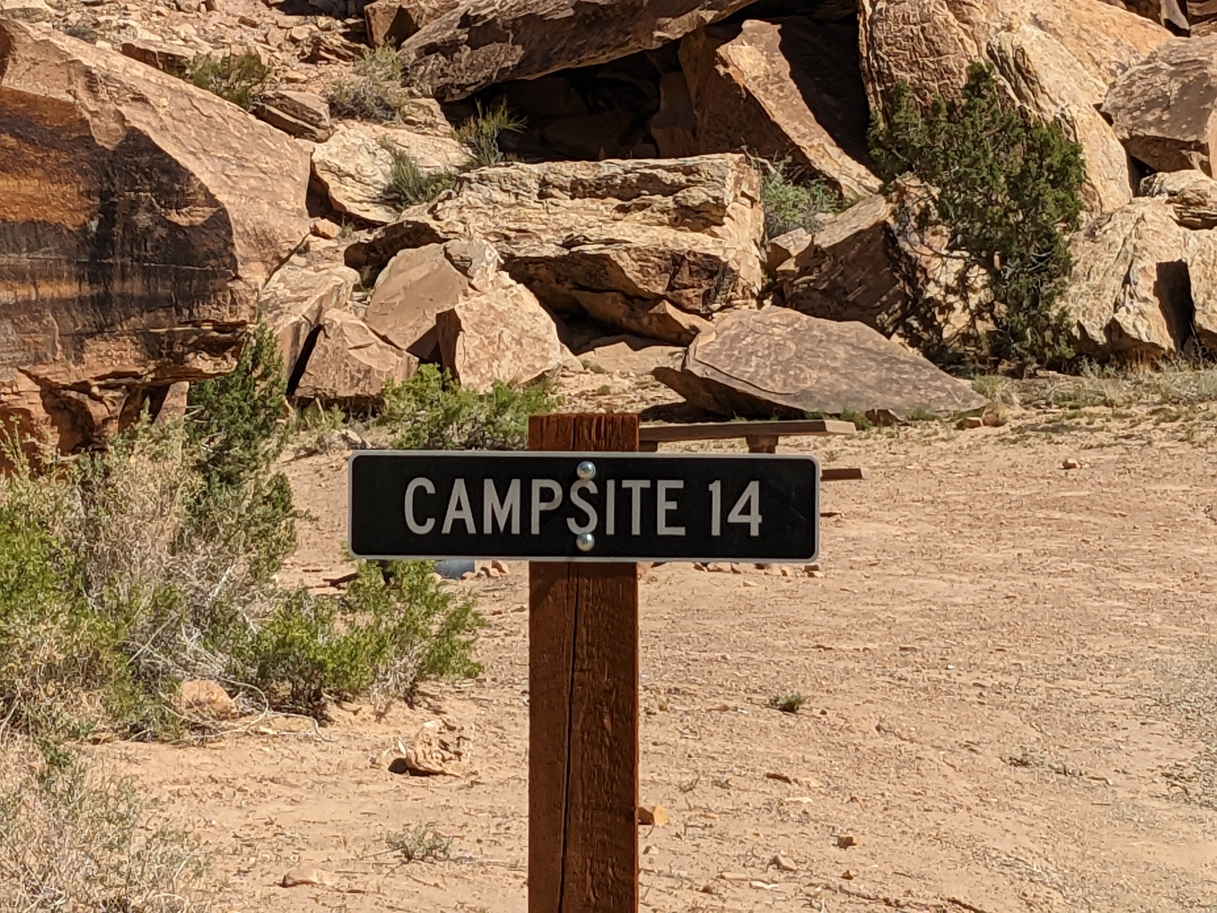
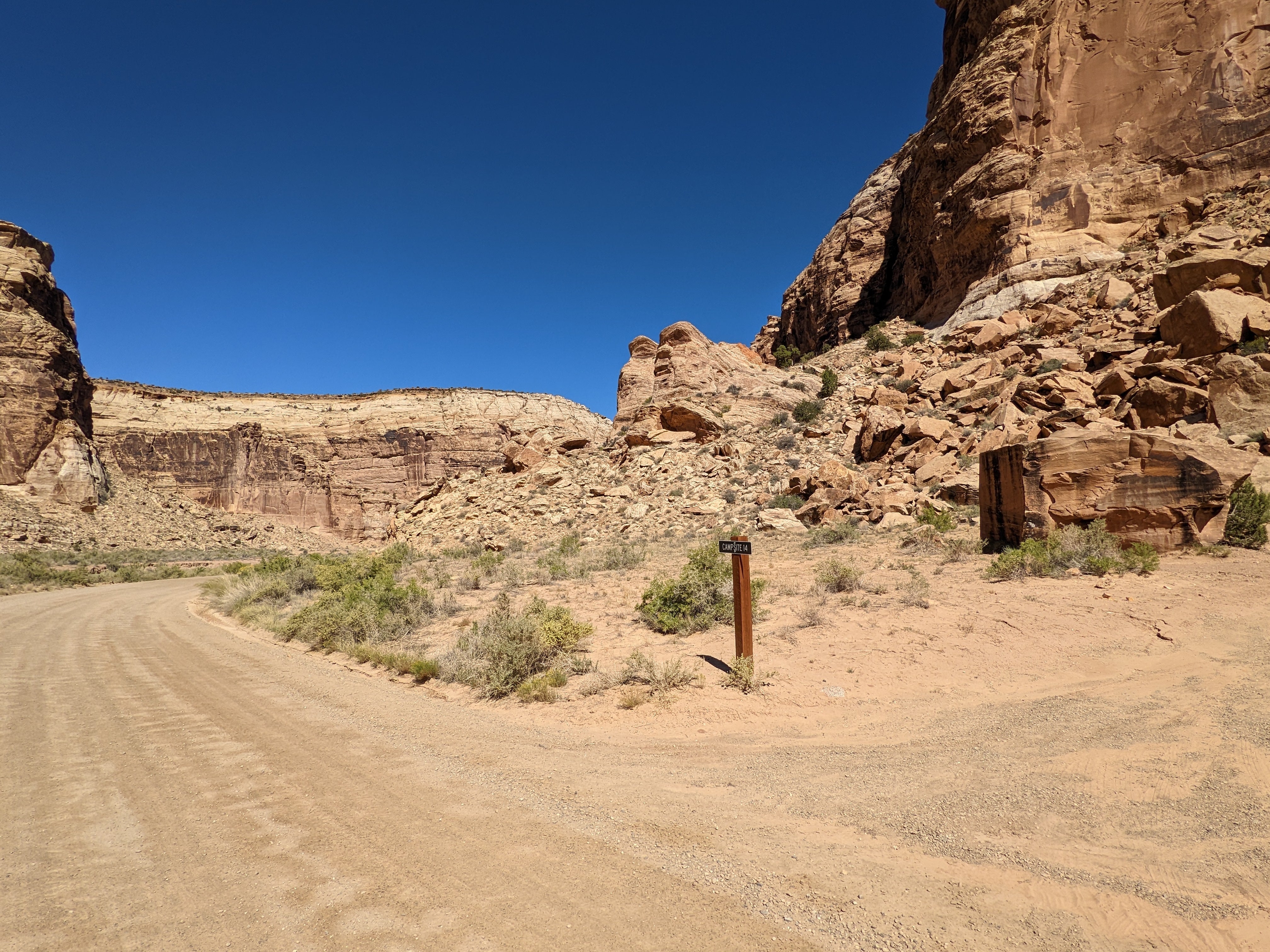
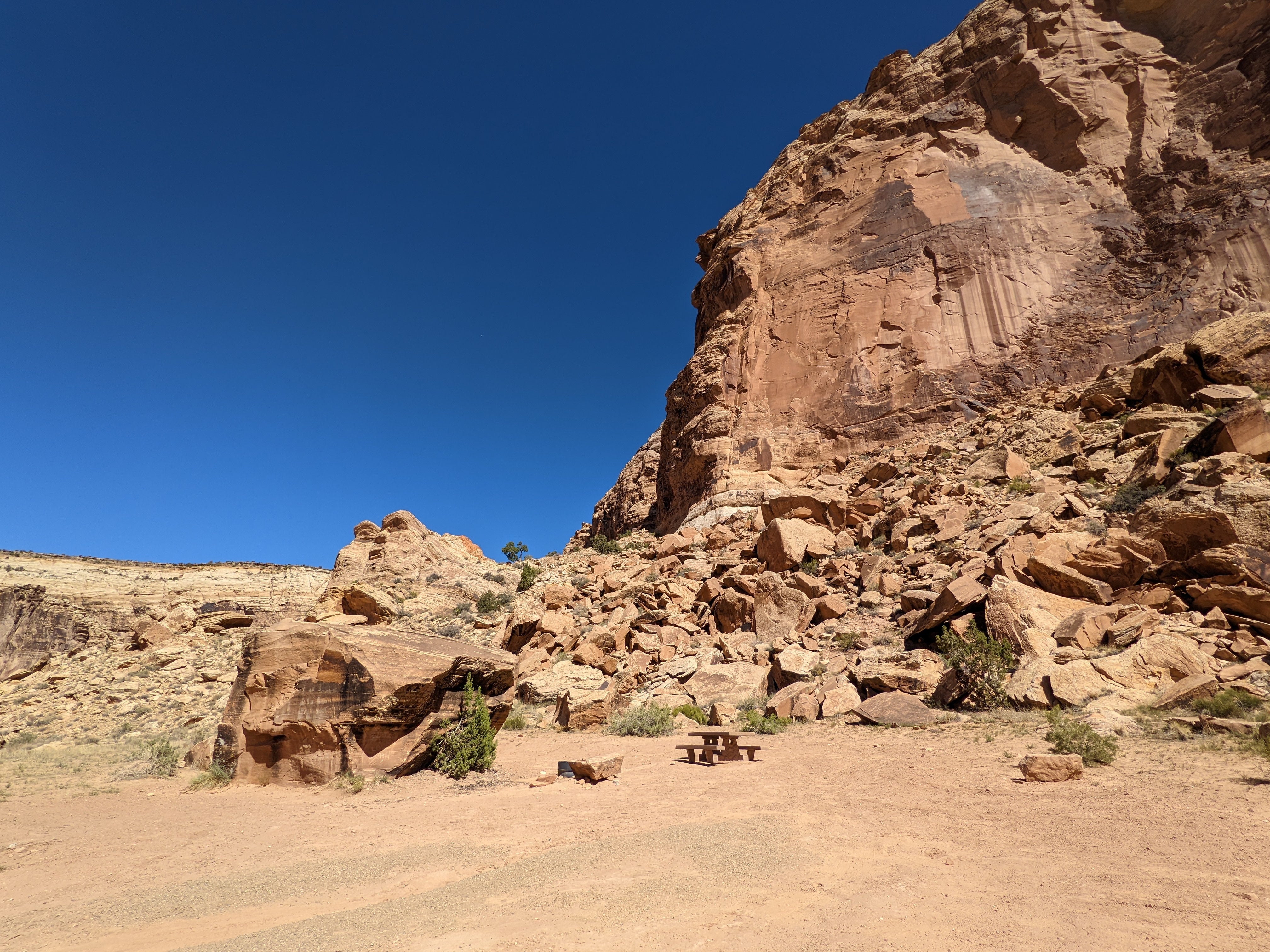
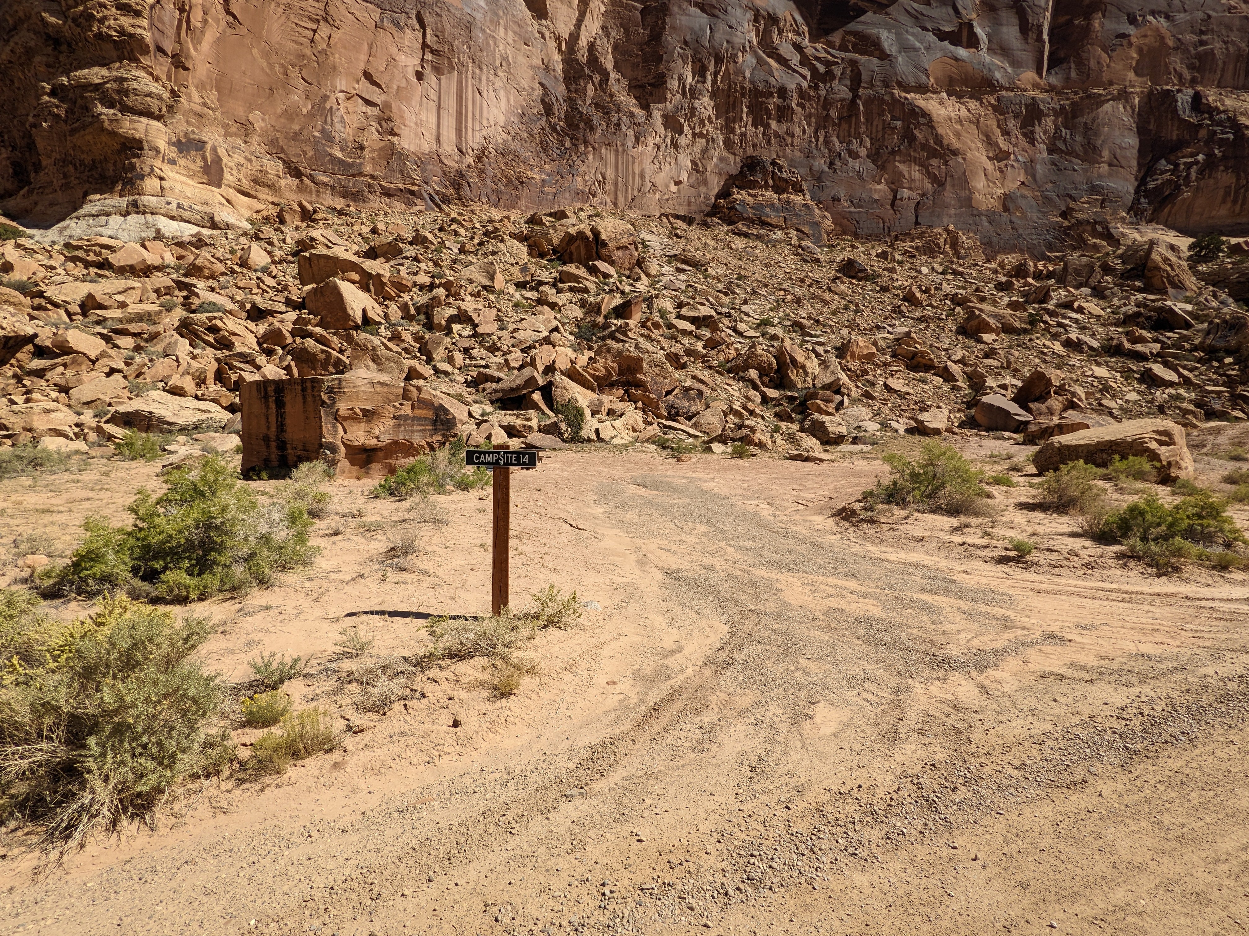
Buckhorn Draw Designated Campsite #14
About
Bureau of Land Management
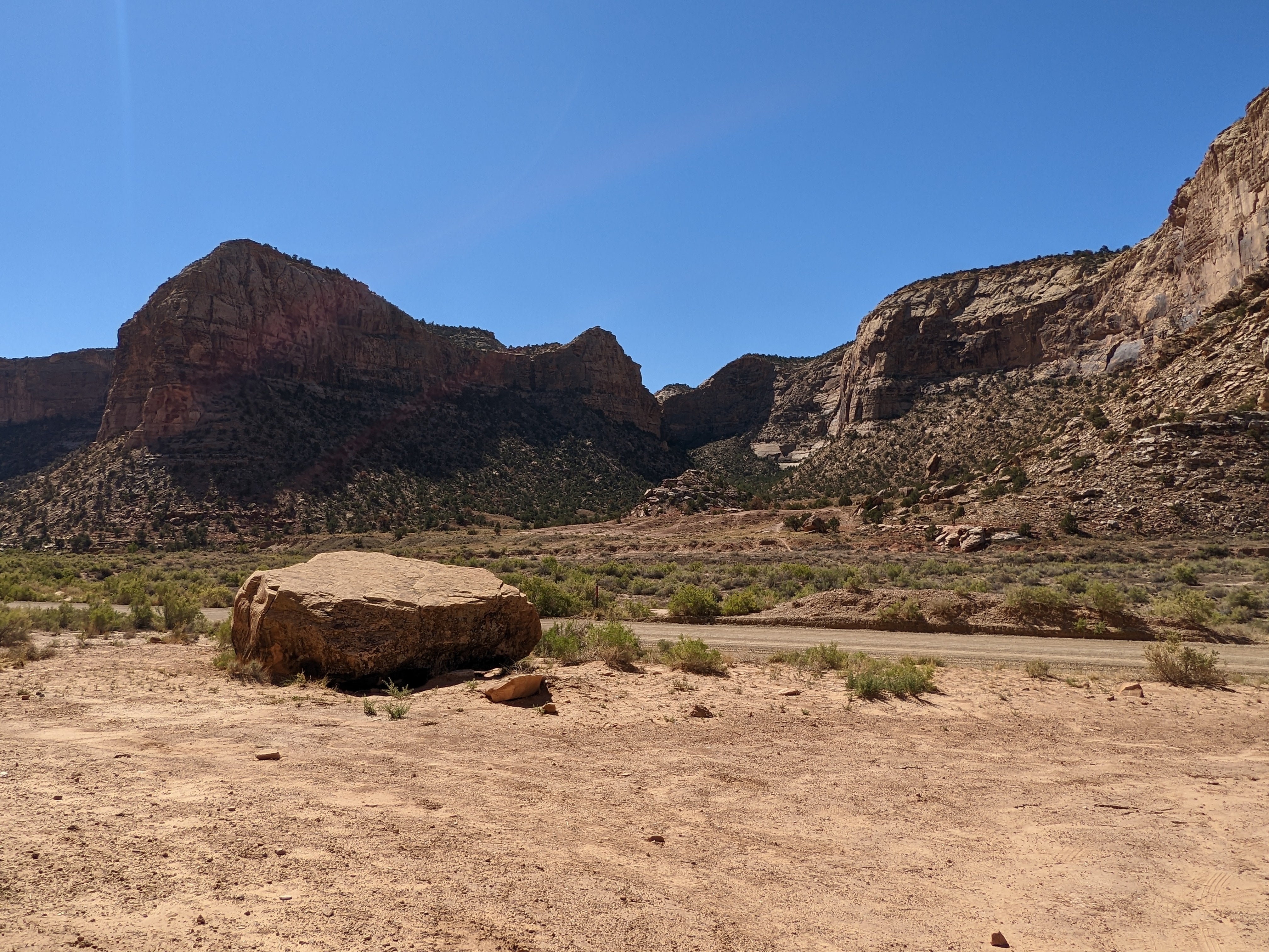
Buckhorn Draw is a stunning canyon cut into the Navajo, Kayenta, and Wingate Sandstones. Carsonite posts mark where there are primitive campsites where lucky campers might spot bighorn sheep running across the ledges. Camping in Buckhorn Wash is limited to designated sites that are marked with camping signs. Creating new campsites is not allowed. Reservations not available. If there are no marked and designated sites available when you arrive, find another place to camp outside Buckhorn Draw (Check out the Swinging Bridge Campgrounds).
Location
Buckhorn Draw Designated Campsite #14 is located in Utah
Directions
Buckhorn Draw dispersed camping is approximately 15 miles east of Castle Dale, UT. From I-70 take exit 131 and travel north for 25 miles until you enter Buckhorn Draw. Contact the Price Field Office for driving directions.
Coordinates
39.143877 N
110.7124 W
Access
- Drive-InPark next to your site
Stay Connected
- WiFiUnknown
- VerizonUnknown
- AT&TUnknown
- T-MobileUnknown
Site Types
- Dispersed
Features
For Campers
- Picnic Table
- Alcohol
- Pets
- Fires

