Established Camping
Penn Roosevelt State Park Campground
About
State Park
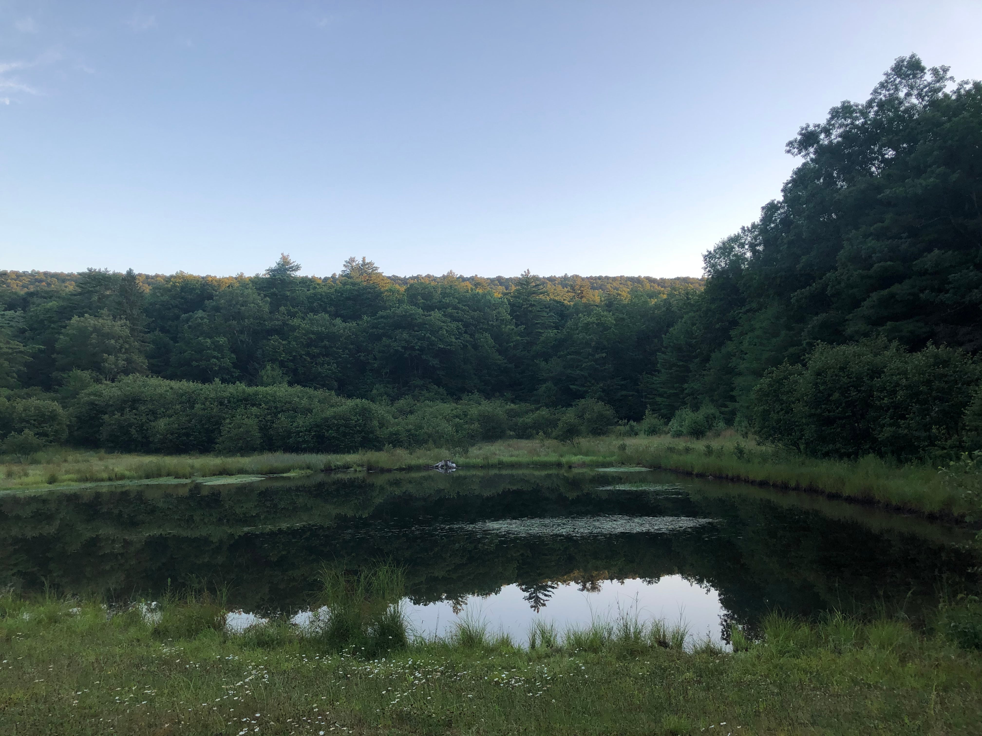
This 41-acre park is in an isolated area of the Seven Mountains region known as the Stone Creek Kettle. While this Centre County park is small in size, it is surrounded by an 80,000-acre block of Rothrock State Forest.
Penn-Roosevelt is a good base for those seeking low-density recreation on this vast expanse of public land. Popular activities include: hiking on the Mid-State or other State Forest trails, gravel-riding on over 100 miles of Forestry roads, and mountain biking the nearby Cooper’s Gap area, a destination Pennsylvania mountain biking trail system.
Rustic sites, tents only
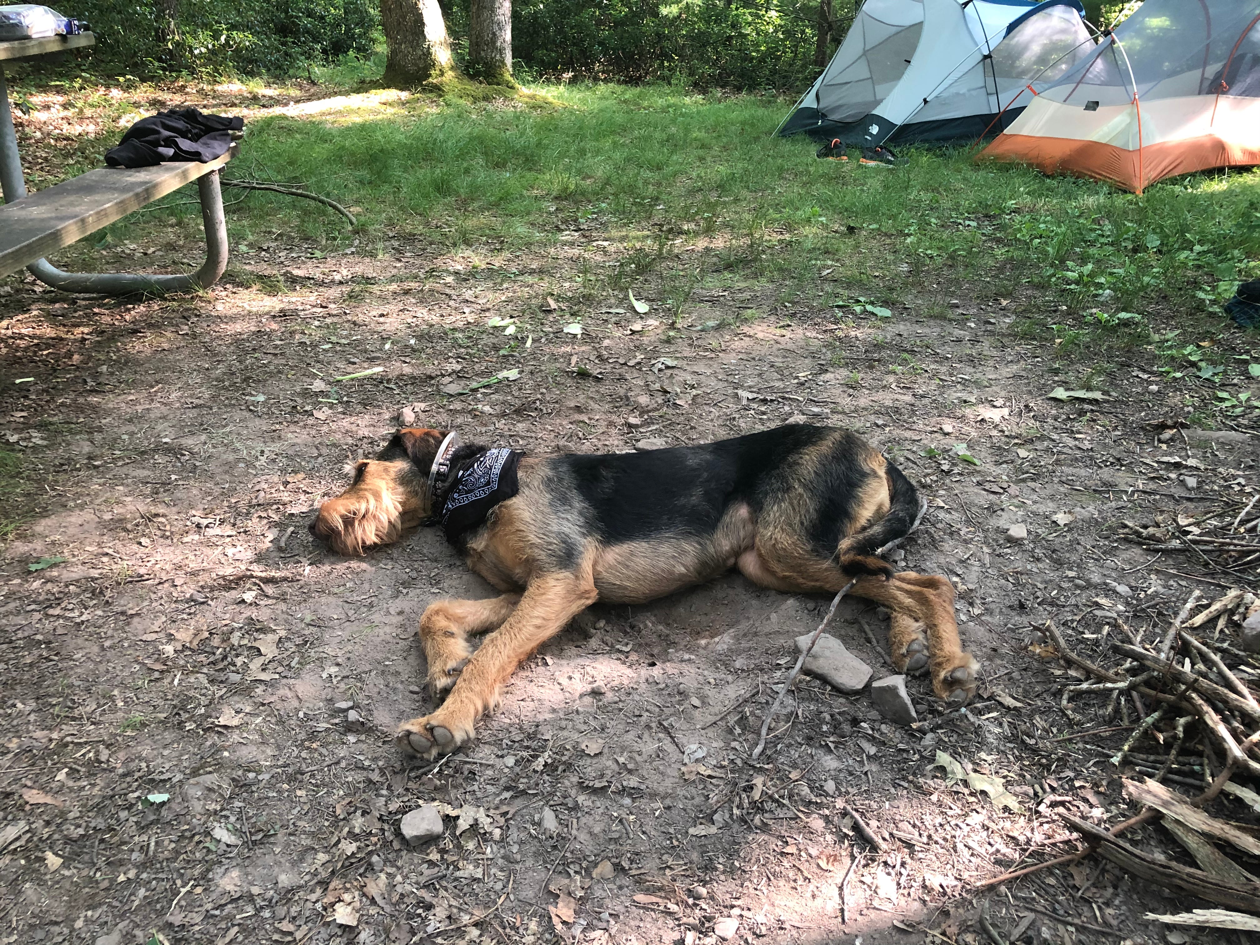
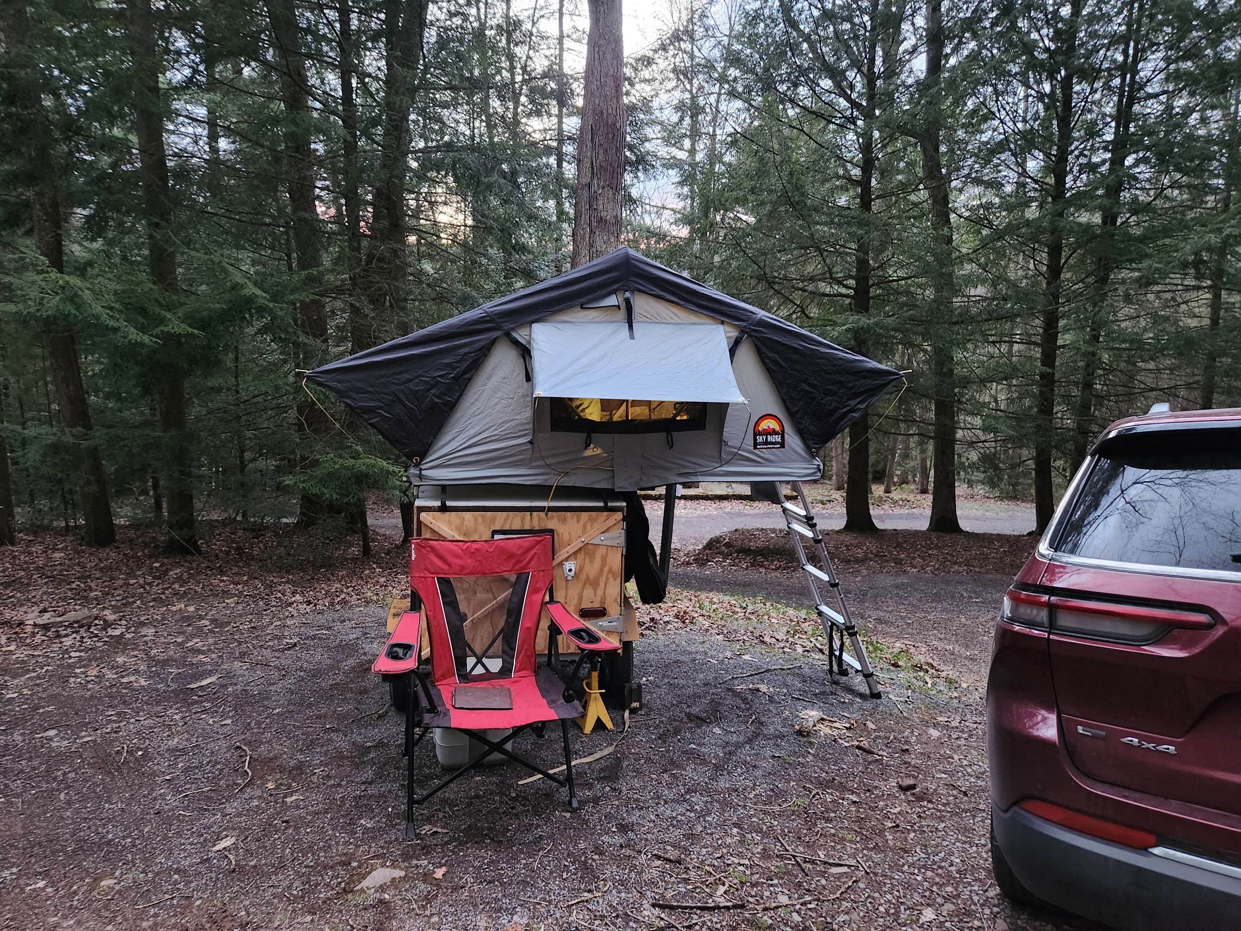
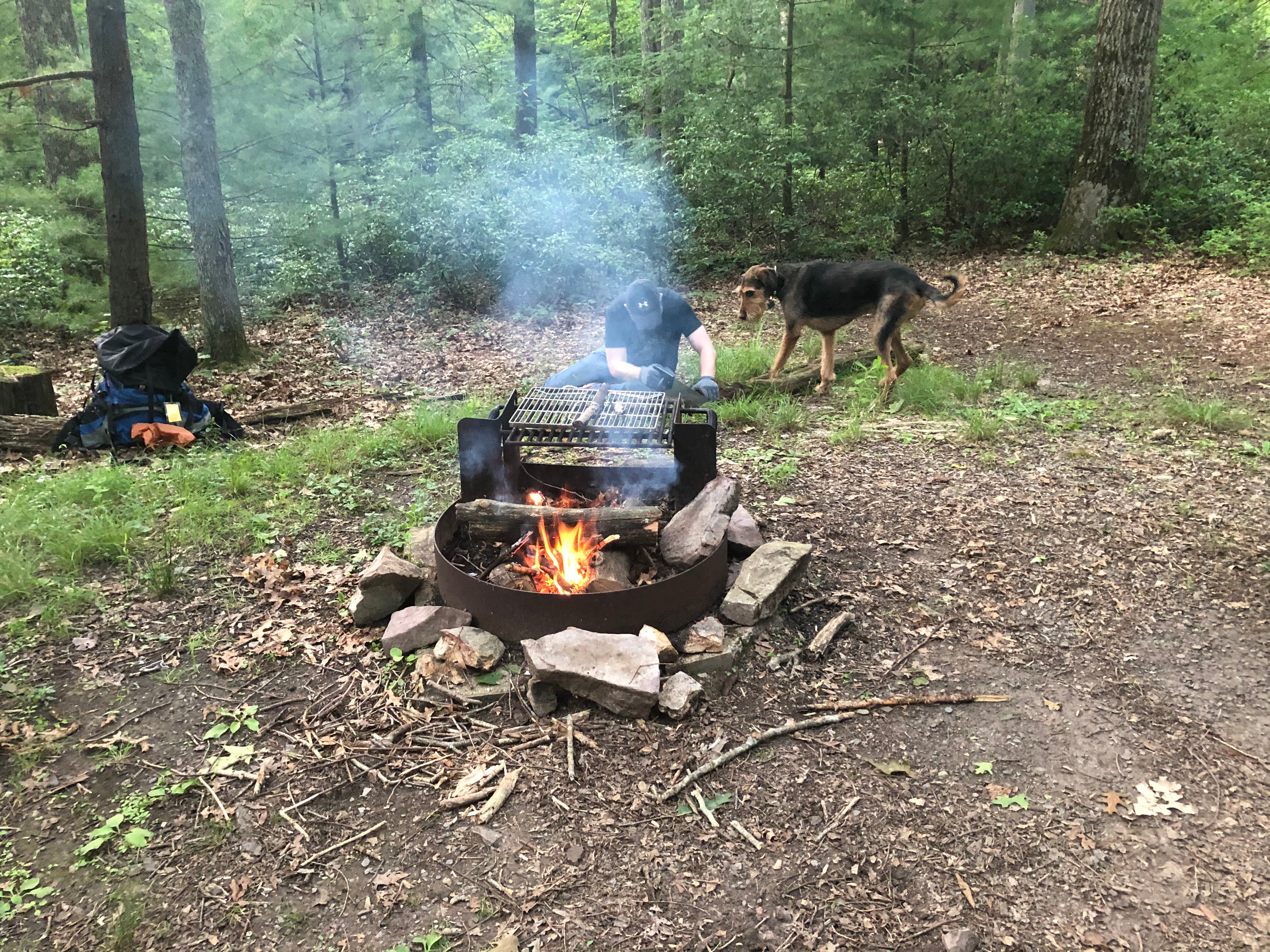
The 18 rustic campsites are for tents only and are open year-round. Some sites are walk-in for more privacy. All campsites are first-come, first-serve.
Drinking water and non-flush toilets are available.
Due to the isolated location, Penn-Roosevelt provides an excellent opportunity to get away from noise and electric lights.
Park rangers routinely patrol the park and camping fees are paid through a self-registration/payment system.
Please keep food and coolers in vehicles to protect them from wild animals.
Reservation Info
All facilities at Penn-Roosevelt are first-come, first-served.
Location
Penn Roosevelt State Park Campground is located in Pennsylvania
Directions
From US 322: One-half mile east of Potters Mills (where US 322 changes from two to four lanes) turn south onto Crowfield Road and drive six miles to park. From Greenwood Furnace State Park: Turn onto Broad Mountain Road at the park office. Follow the Penn-Roosevelt signs 12 miles to the park. For a wider map of the area, obtain a copy of the Rothrock State Forest Public Use Map from Greenwood Furnace State Park or the Bureau of Forestry office in Huntingdon.
Coordinates
40.72800056 N
77.70100097 W
Access
- Drive-InPark next to your site
- Walk-InPark in a lot, walk to your site.
Stay Connected
- WiFiUnknown
- VerizonUnknown
- AT&TUnknown
- T-MobileUnknown
Site Types
- Tent Sites
Features
For Campers
- ADA Access
- Trash
- Picnic Table
- Phone Service
- Drinking Water
- Toilets
- Pets
- Fires

