Free Camping Collection
Established Camping
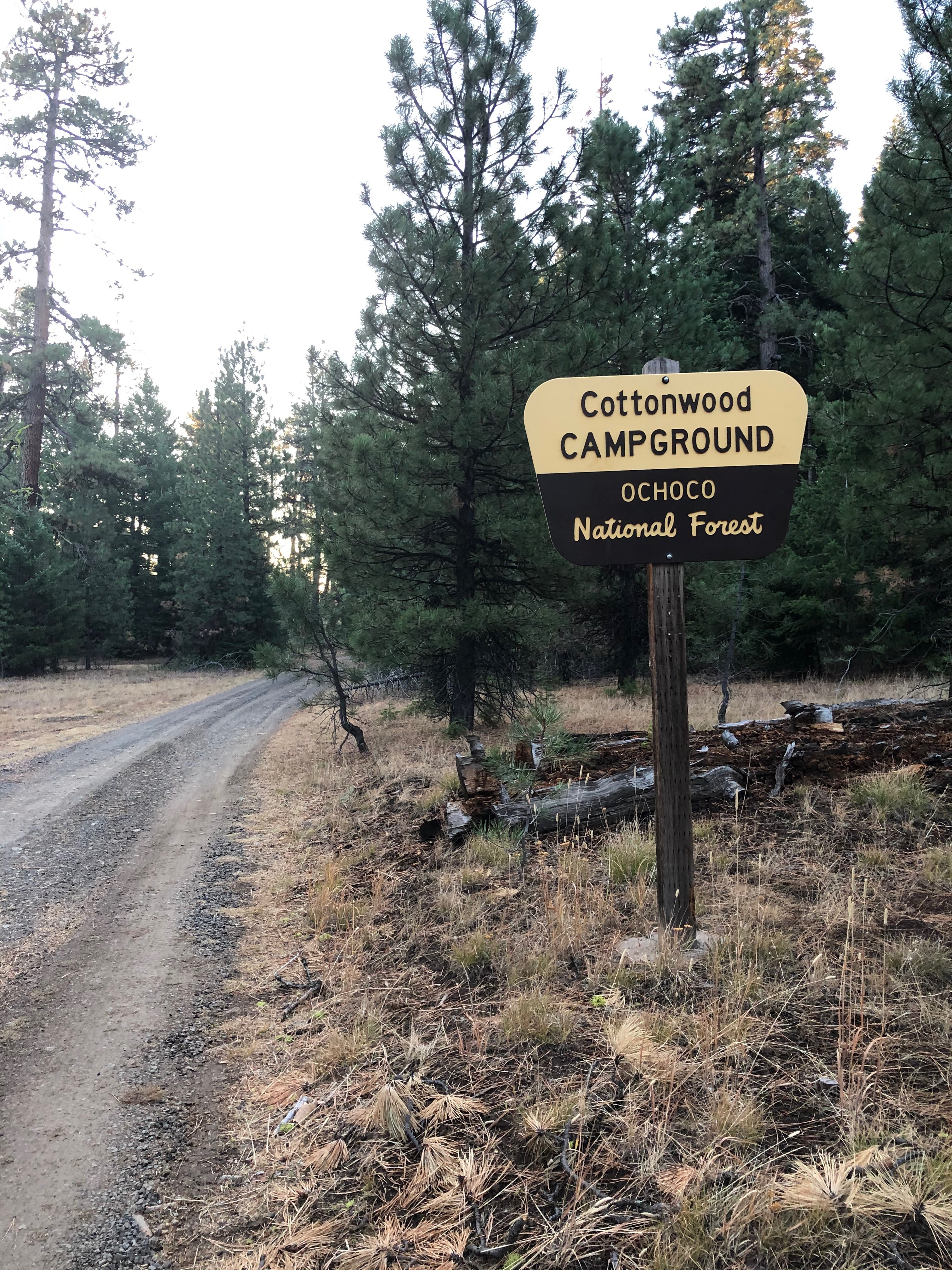
Cottonwood Campground
About
National Forest
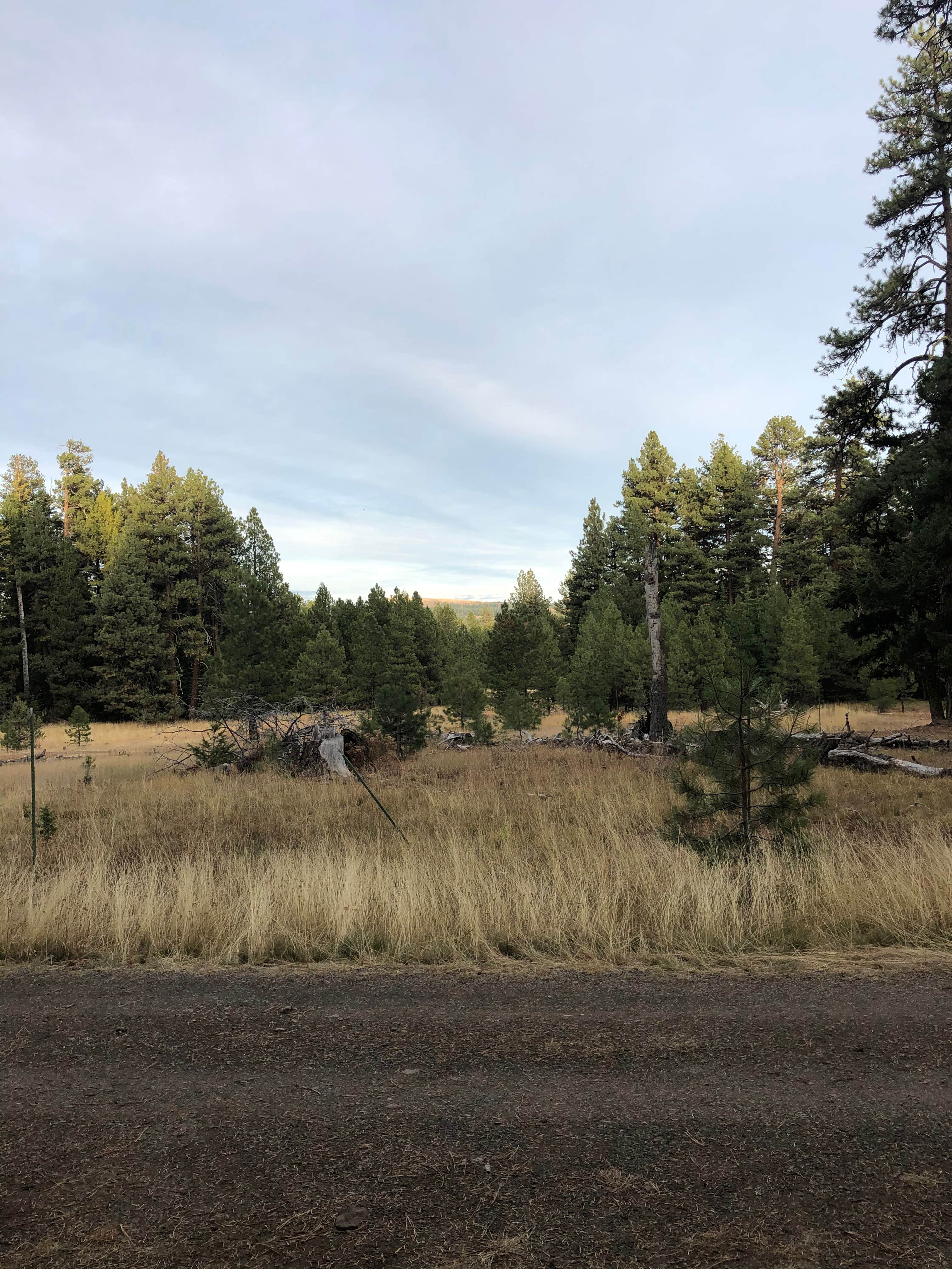
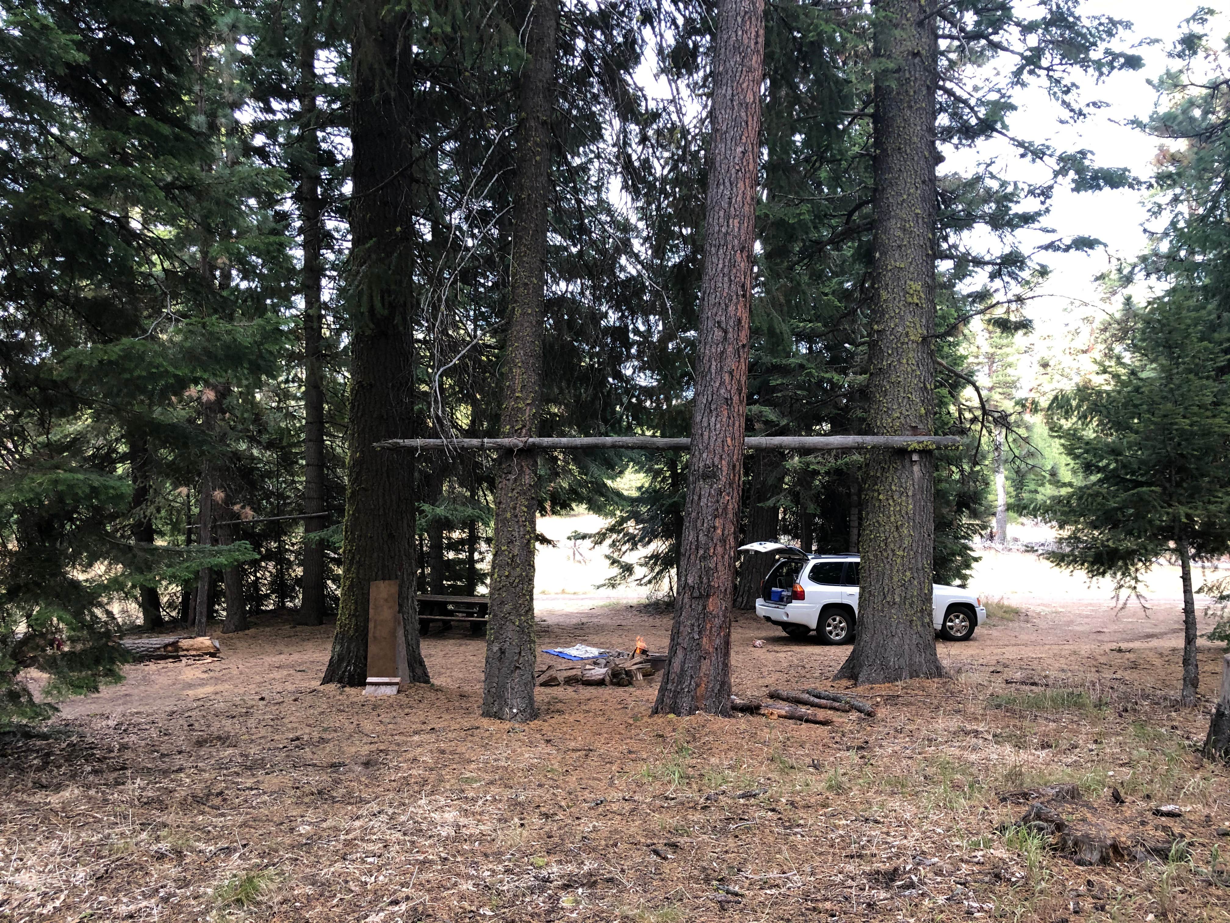
This campground has 7 established campsites, each which can accommodate tent camping and most which can also support RV camping.
The majority of the campsites in this facility can accommodate larger recreational vehicles; however, this campground does not offer hook-ups of any kind, so RV campers should be self-contained.
Location
Cottonwood Campground is located in Oregon
Directions
From Prineville, Oregon (1): Travel on Highway 26 going east for 47 miles to Mitchell, Oregon. Continue east on Highway 26 for 13 miles to Forest Service Road 12, then go south on Forest Service Road 12 for 14 miles. Turn left onto Forest Service Road 200 and continue to Cottonwood Campground. From Prineville, Oregon (2): Travel on Highway 26 going east for 16 miles to Forest Service Road 42. Travel east on Forest Service Road 42 for 32 miles to Forest Service Road 4270. Follow Forest Service Road 4270 northeast for 9 miles to Forest Service Road 12. Turn left and head north on Forest Service Road 12 for 4 more miles, then turn right on to Forest Service Road 200 and continue to the campground. From Paulina, Oregon: Travel on County Road 112 going east for 3.5 miles, then travel north on Beaver Creek Road (County 113) for 8 miles to Forest Service Road 42. Take Forest Service Road 42 north for another 8 miles to Forest Service Road 12, then go north on Forest Service Road 12 for 7 miles. Turn right onto Forest Service Road 200 and continue to the campground. From John Day, Oregon: Travel on Highway 26 going west for 31 miles to Dayville, Oregon. Continue west on Highway 26 for 25 miles to Forest Service Road 12, and go south on Forest Service Road 12 for 14 miles to Forest Service Road 200. Turn left and continue to the campground.
Coordinates
44.392164207552526 N
119.85391206649166 W
Access
- Drive-InPark next to your site
Stay Connected
- WiFiUnknown
- VerizonUnknown
- AT&TUnknown
- T-MobileUnknown
Site Types
- Tent Sites
- Group
Features
For Campers
- Picnic Table
- Toilets
- Alcohol
- Pets
- Fires


