Free Camping Collection
Dispersed Camping
Sunklands Conservation Area
About
State Park
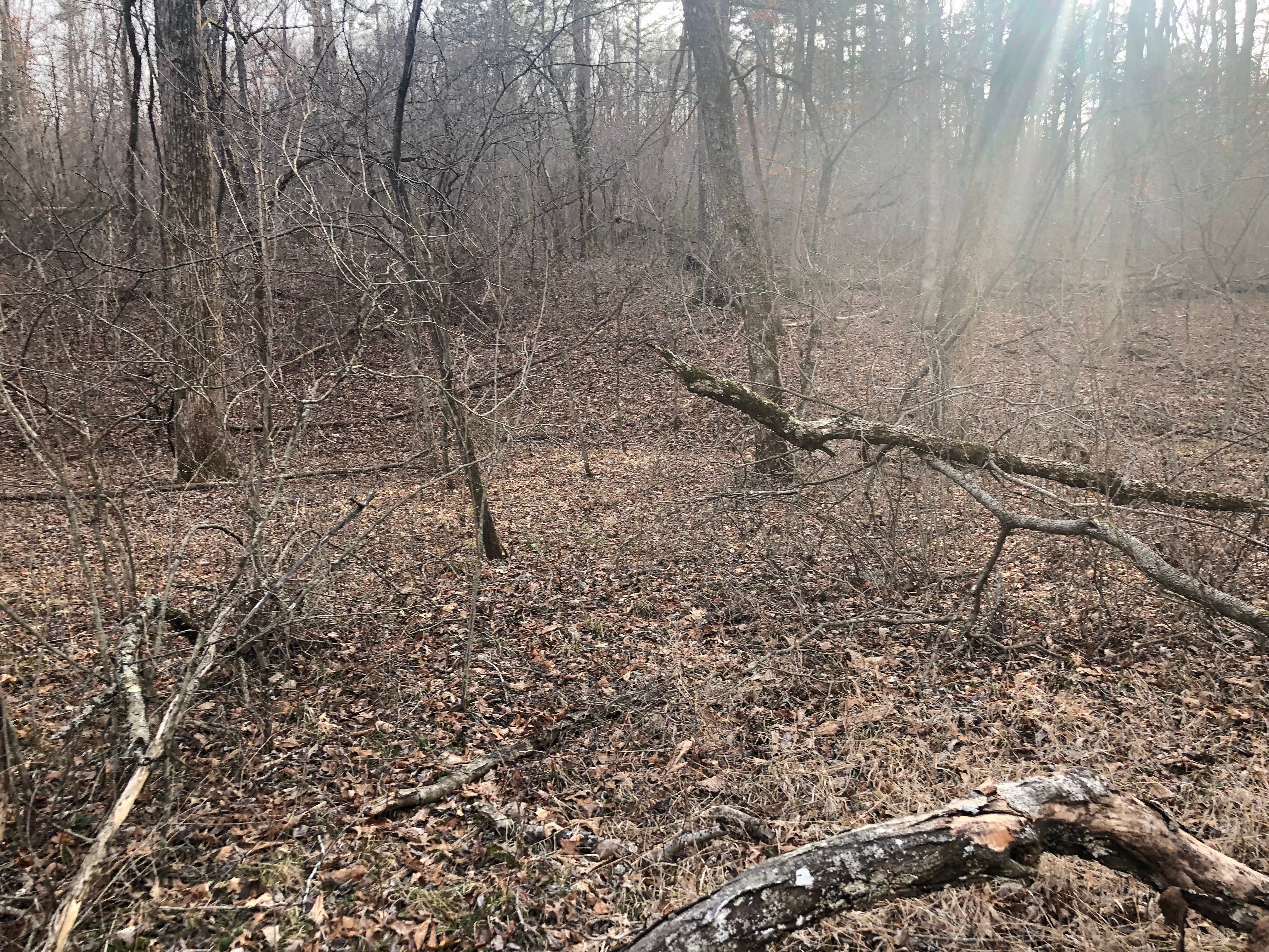
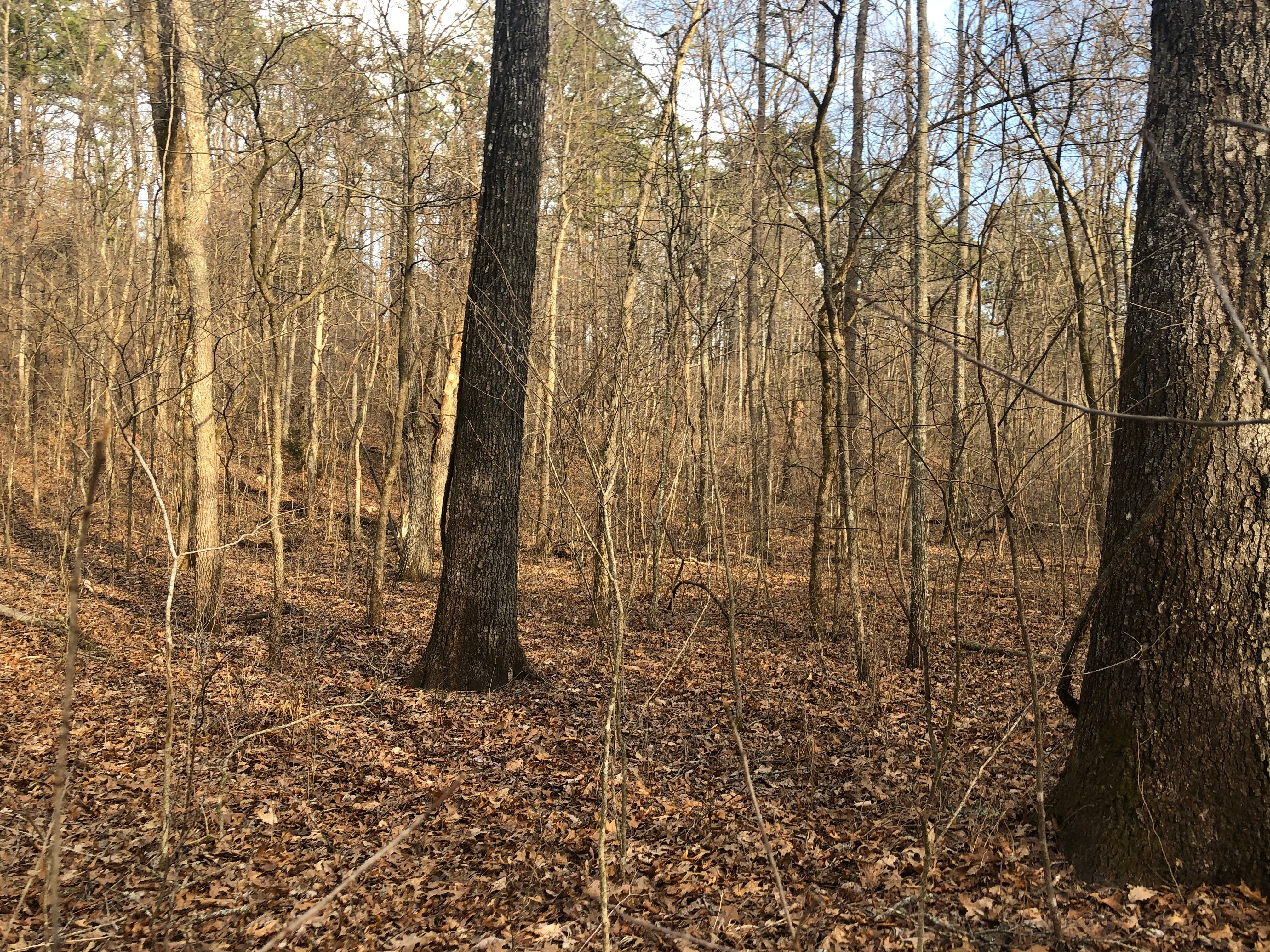
Few regions today preserve the wild and natural beauty of the Ozarks as well as Sunklands. Sunklands Conservation Area combined the former Sunklands-Burr Oak Basin Natural Area and Skunk Pond, Hartshorn, and Shannondale conservation areas with Kerr-McGee land. Sunklands is valuable for its array of native plant and animal species. The area is the only known habitat in Missouri for monkshood, a showy purple wildflower. Several upland ponds or sinkholes contain water and form a marshy area. The wetlands are rare and important homes to salamanders and other amphibians that require a fish-free habitat.
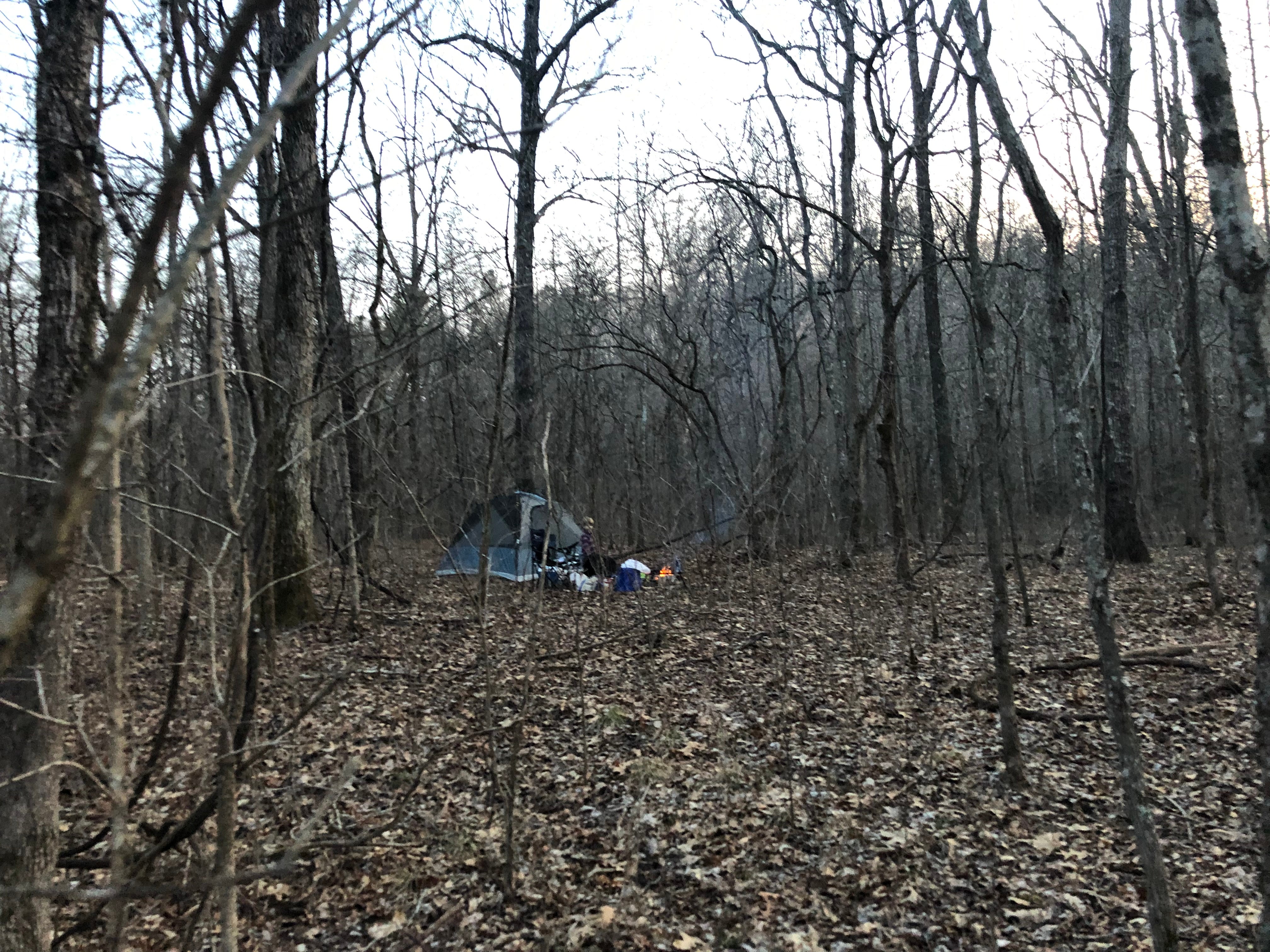
Open Camping - Walk-in/Float-in/Backpack Designated Camping Sites
Location
Sunklands Conservation Area is located in Missouri
Directions
From Summersville, take Highway 17 west, then Route K north 8 miles, then Route KB east. Watch for an area sign at the junction of Route KB and MDC Trail 360. The area can also be accessed by driving north of Eminence on Highway 19, then County Road 19-324 west 1 mile. Watch for the area sign.
Coordinates
37.30685892118697 N
91.50431508420473 W
Access
- Hike-InBackcountry sites.
Stay Connected
- WiFiUnknown
- VerizonUnknown
- AT&TUnknown
- T-MobileUnknown
Site Types
- Dispersed
Features
For Campers
- Pets
- Fires

