Established Camping
Greer Crossing
About
State Park
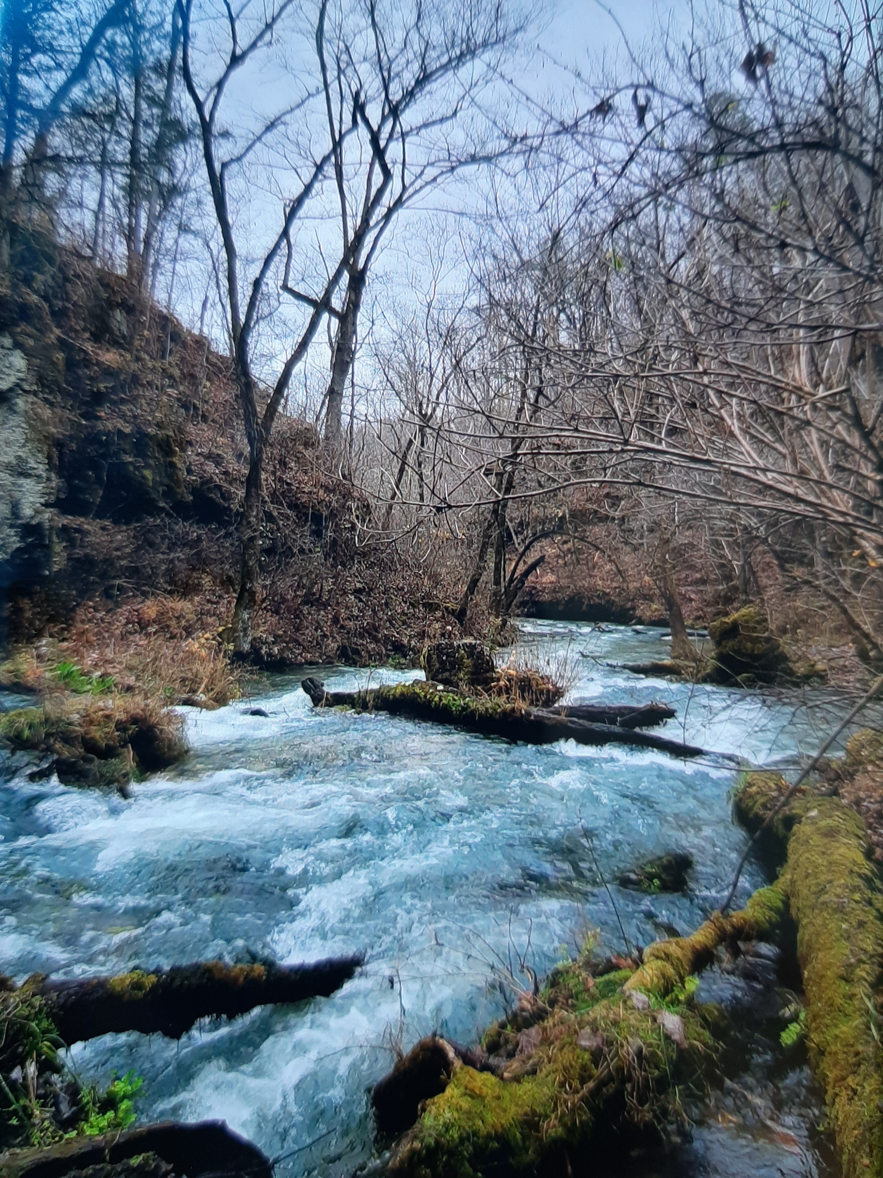
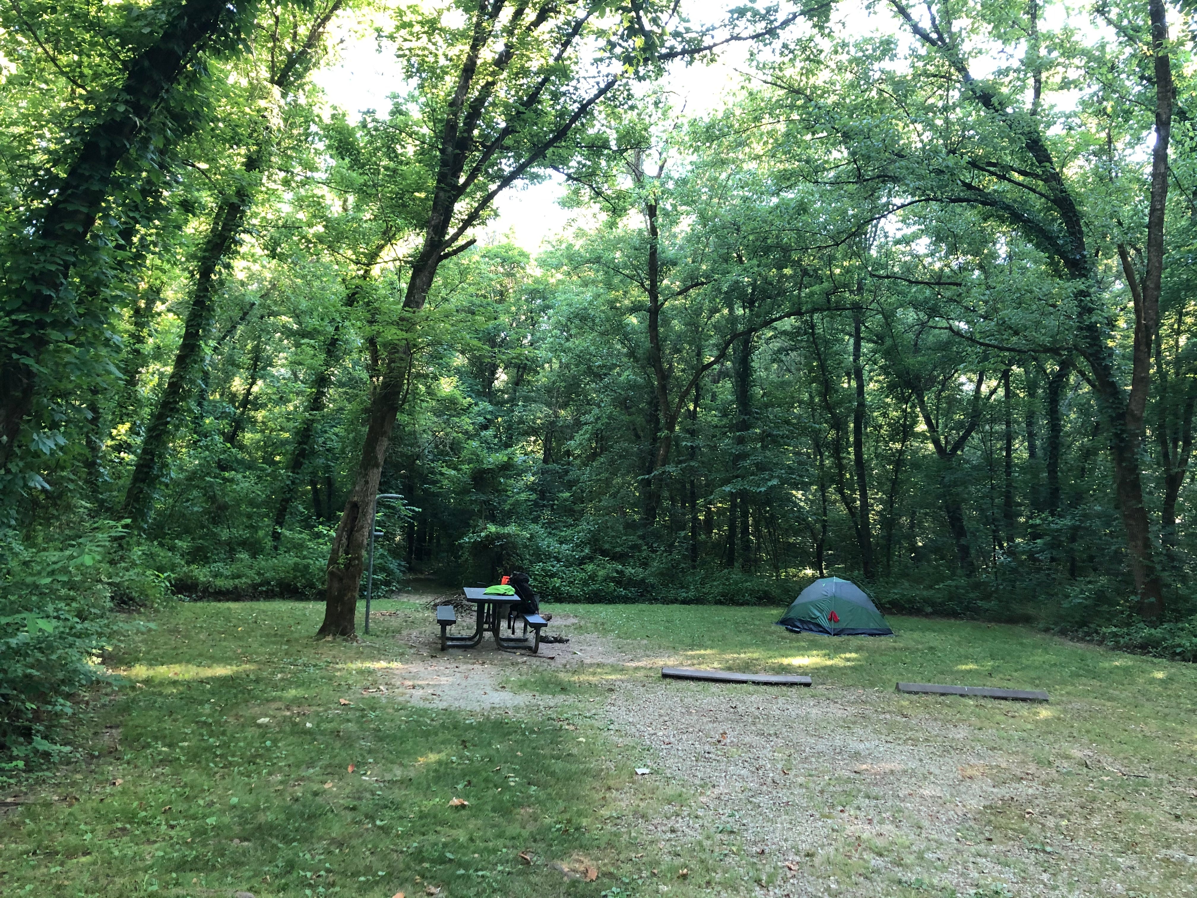
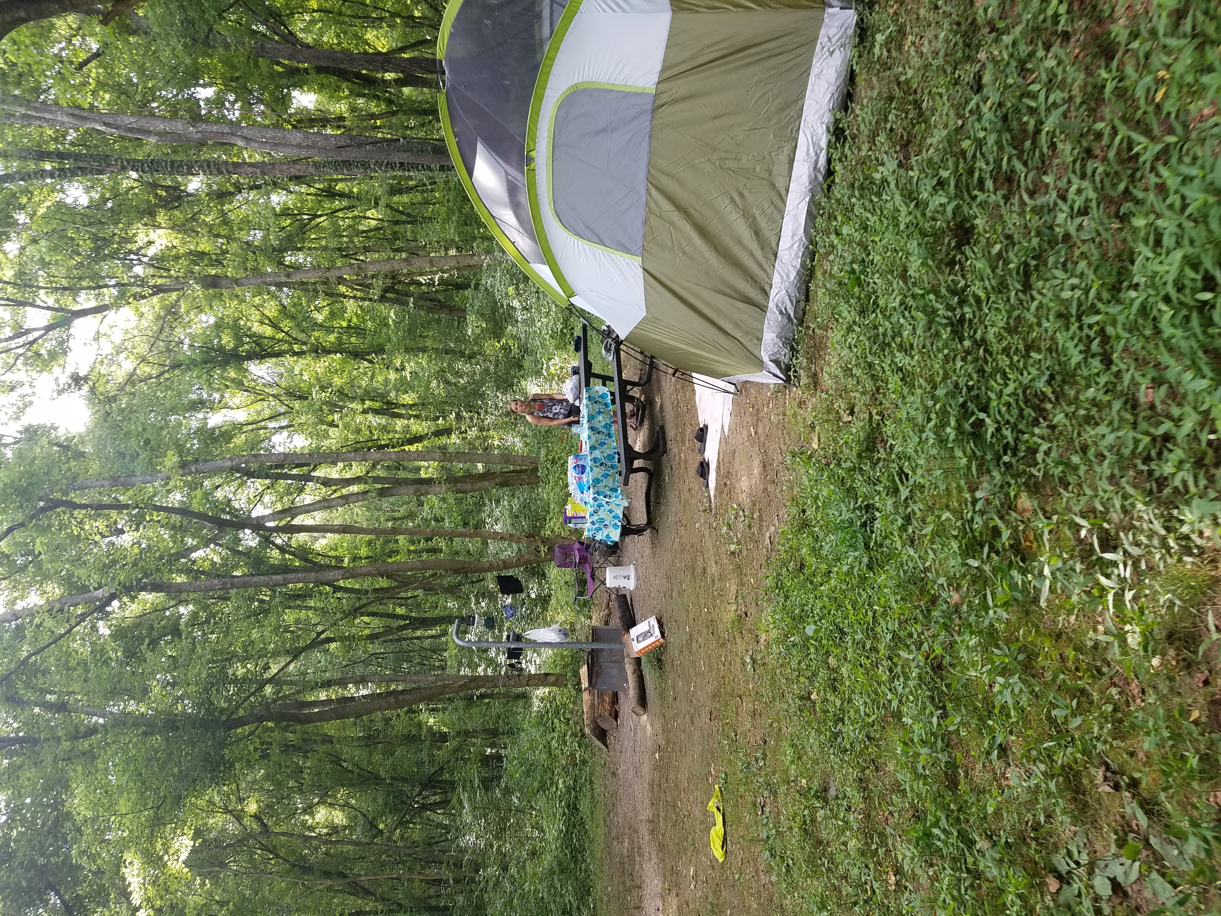
Greer Crossing Recreation Area is located on the right side of Eleven Point National Scenic River at about 16.7 miles and offers access to the Eleven Point River for boating and fishing. This Recreation Area offers camping, picnic tables, fire pits, toilet, boat ramp and parking. Fees for Greer Crossing Recreation Area Campground are $10 per single and $15 per double campsite/ night and are paid at the fee tube. There is a 50% discount for anyone who has a Golden Age or Golden Access Passport, a Senior Pass, or an Access Pass. There are 16 single and 3 double mowed sites which offer seclusion and privacy, each with table, fire ring, and lantern post. The campground is set back away from the water’s edge. A campground host is on site in the summer. There is a centrally located vault toilet in the Campground. Drinking water and trash bins are available May 1- October 1. Some activities at Greer Crossing Recreation Area include are hiking, canoeing, wading, and fishing. A picnic area is near the boat access. The picnic area has 4 individual sites, each with a grill and one or more tables. The boating access is one of the most popular launch sites for persons floating the Eleven Point. There is one trail are available for hikers; a 4-mile trail follows the river and through typical Ozark hills up to McCormack Lake then circles back for a 2 mile walk back to Greer. This trail runs along the river and then back along the hillside above the river. Fishing is also very plentiful, there are rainbow trout, small mouth bass, sunfish, just to name a few.
Location
Greer Crossing is located in Missouri
Directions
In Alton, MO, take State Rt. 19 north 9.4 miles to campground sign (Forest Rt. 3188). Turn right onto Rt. 3188 and proceed to campground. From Winona, MO take Hwy 19 south 17 miles to Forest Road 3188, just north of Eleven Point Bridge. A paved road leads to the recreation area.
Coordinates
36.79400072 N
91.32900081 W
Access
- Drive-InPark next to your site
- Walk-InPark in a lot, walk to your site.
- Hike-InBackcountry sites.
- Boat-InSites accessible by watercraft.
Stay Connected
- WiFiUnknown
- VerizonUnknown
- AT&TUnknown
- T-MobileUnknown
Site Types
- Tent Sites
- RV Sites
- Standard (Tent/RV)
- Group
- Equestrian
Features
For Campers
- ADA Access
- Trash
- Picnic Table
- Reservable
- Drinking Water
- Toilets
- Alcohol
- Pets
- Fires
For Vehicles
- Water Hookups
- Pull-Through Sites

