Established Camping
Lake Ottawa Campground
About
National Forest
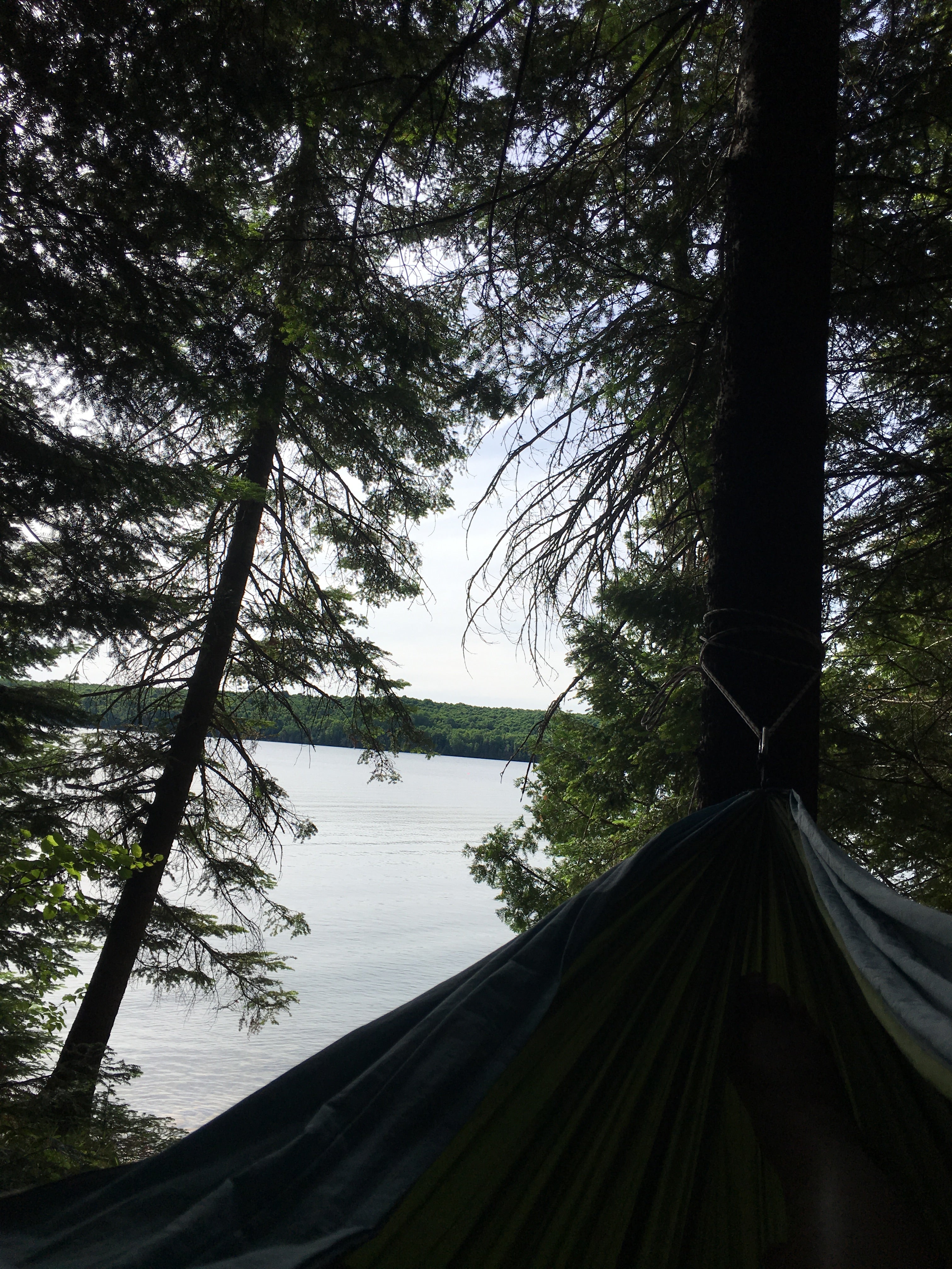
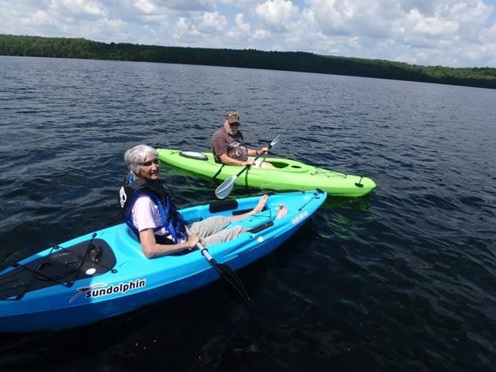
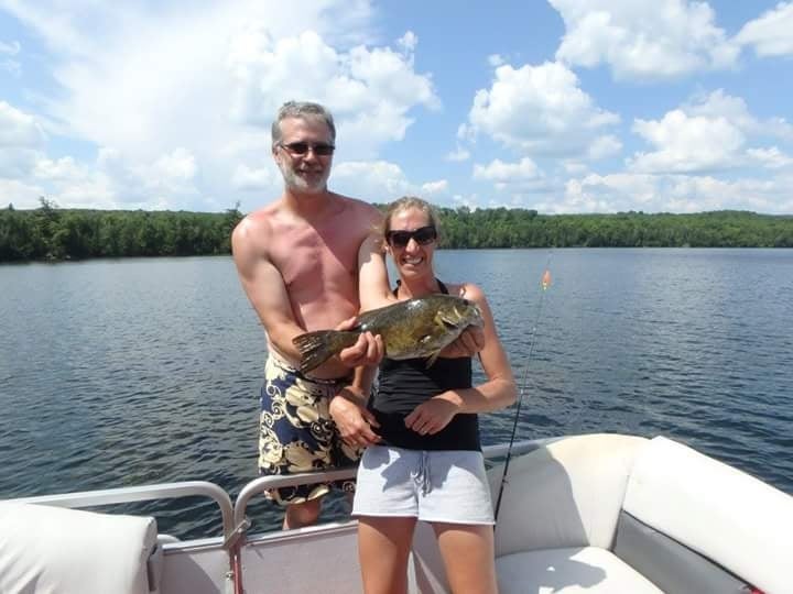
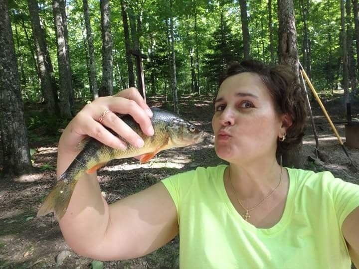
Lake Ottawa Recreation area is in a beautiful forested northwoods setting located 5 miles southwest of Iron River, MI, on the Iron River Ranger District. Located in the general area is Lake Ottawa, Brule Lake, Hagerman Lake, Brule River, Bass Lake, the Historic Mile Post Zero/Treaty Tree, The Ge-Che Trail, and miles of hiking trails. Lake Ottawa Campground is 95% surrounded by National Forest System Land and offers a picnic shelter with two stone fireplaces and original log picnic tables, and two log toilet buildings, which were constructed by the CCC in the late 1930's. A pressurized water system and sewage dump station is located in the campground. Adjacent to the campground is a CCC era day use recreation building, with flush toilets, swimming beach, playing field, picnic areas and boat launch. For guidelines regarding use of the Day Use Pavillion, check out the attached document: Lake Ottawa Day Use Guidelines. Fish Your National Forests: This site can be accessed by Passenger Car; Fish available include: Trout, Native Trout, Bass, Walleye, Panfish; Types of fishing available include: Shore, Motorized boat, Float tube, Fly, Spin, Bait, Ice; and boat launch available
Location
Lake Ottawa Campground is located in Michigan
Directions
From Iron River, Mi., travel west on US 2, turn south on M 73, travel approximately 3/4 mile, turn west on Lake Ottawa Road and travel approximately 4 miles to the campground. From Watersmeet, Mi., travel 28 miles east on US 2, turn south on M 73, travel approximately 3/4 mile, turn west on Lake Ottawa Road and travel approximately 4 miles to the campground.
Coordinates
46.0779019 N
88.76004555 W
Access
- Drive-InPark next to your site
- Boat-InSites accessible by watercraft.
Stay Connected
- WiFiUnknown
- VerizonUnknown
- AT&TUnknown
- T-MobileUnknown
Site Types
- Tent Sites
- RV Sites
- Standard (Tent/RV)
Features
For Campers
- Picnic Table
- Showers
- Drinking Water
- Toilets
- Pets
- Fires
For Vehicles
- Sanitary Dump
- Sewer Hookups
- Water Hookups

