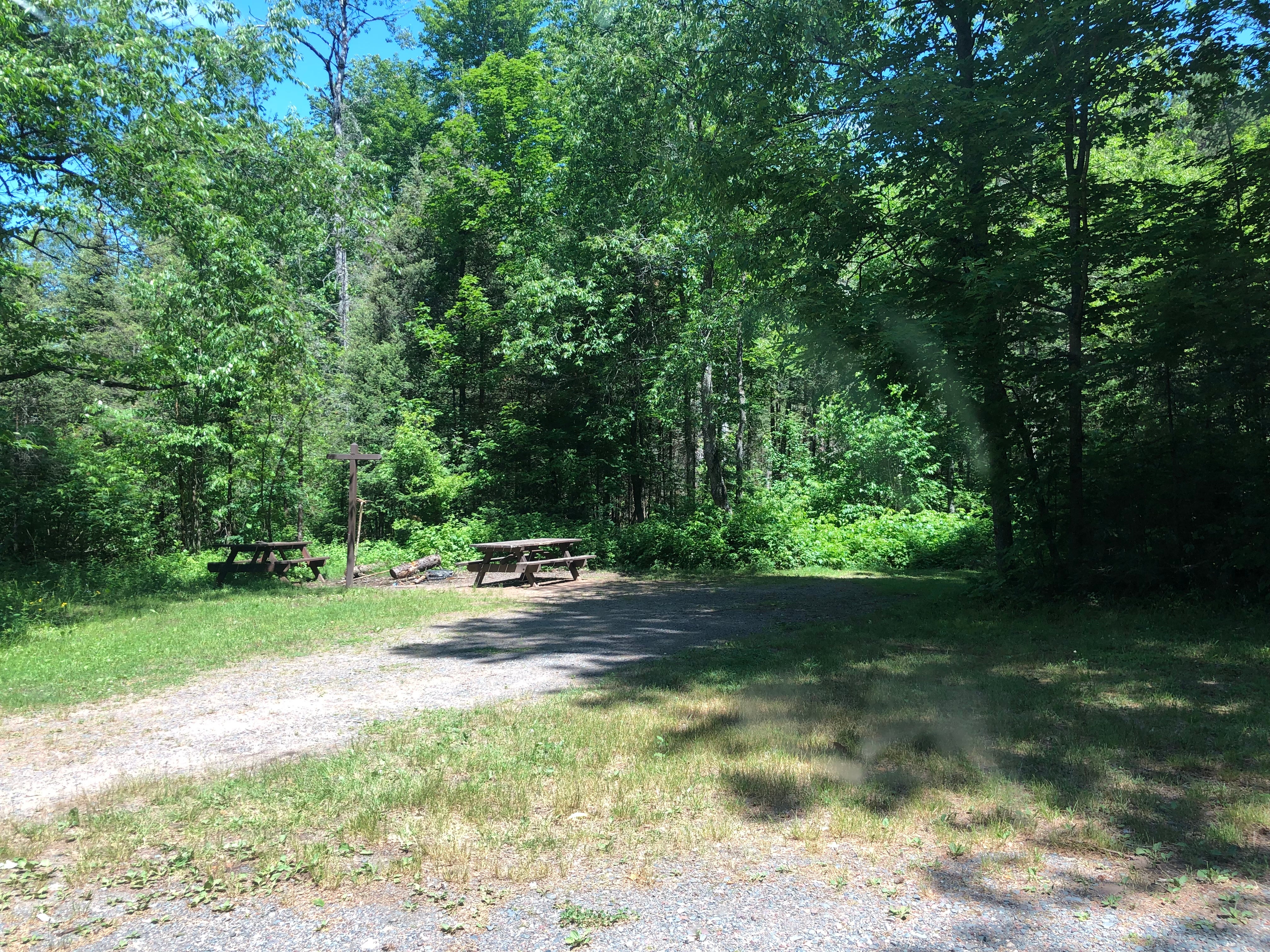
Established Camping
Burned Dam Campground
About
National Forest
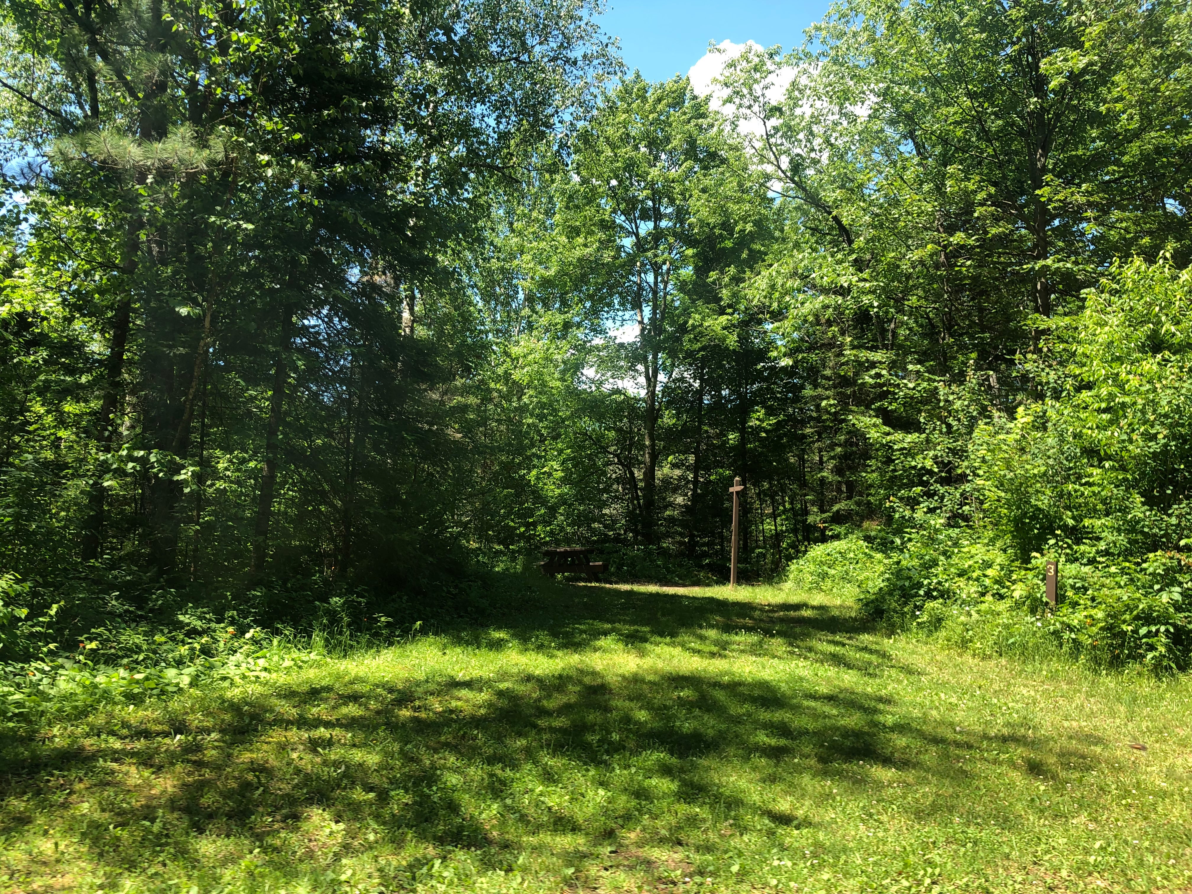
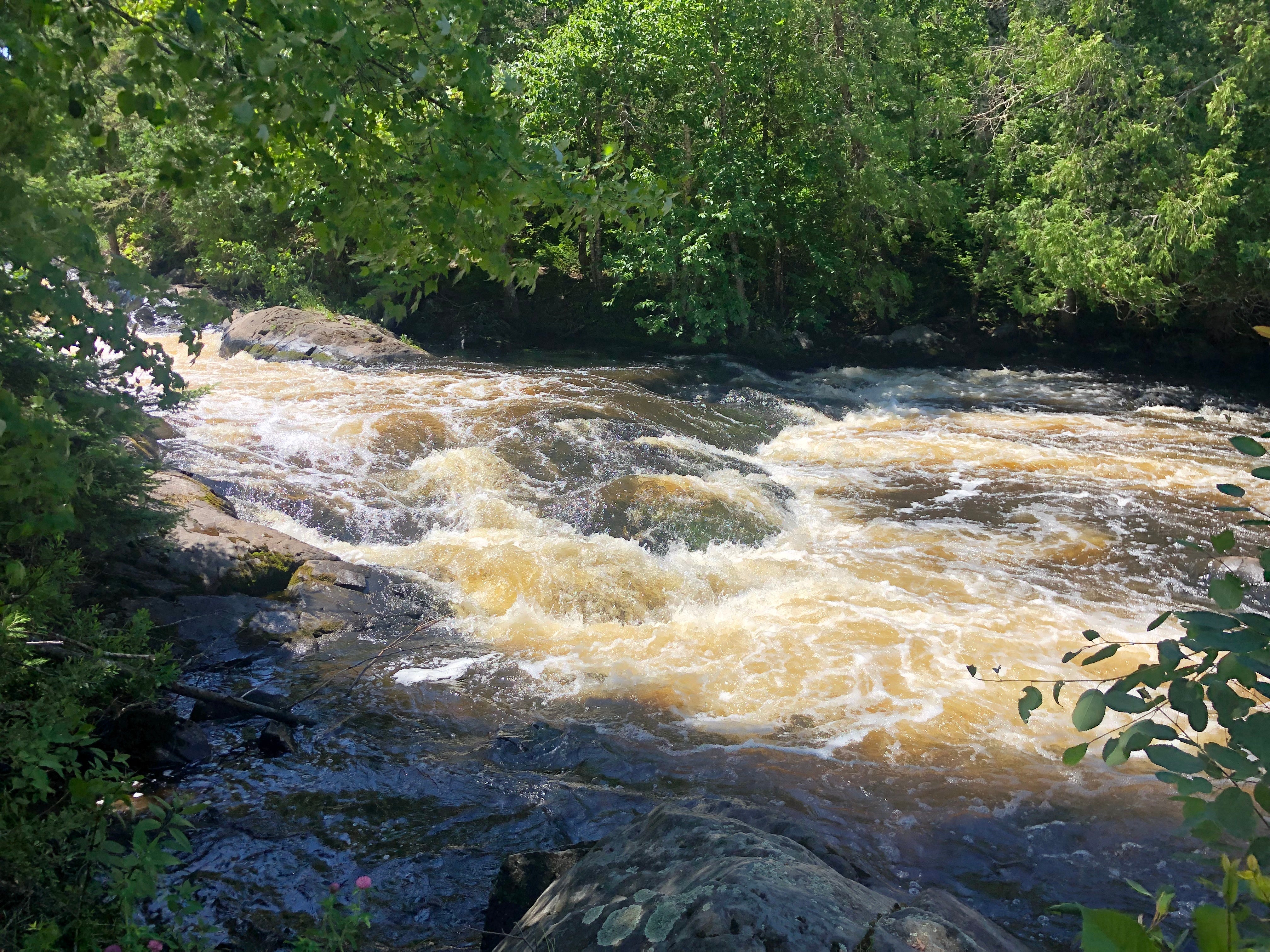
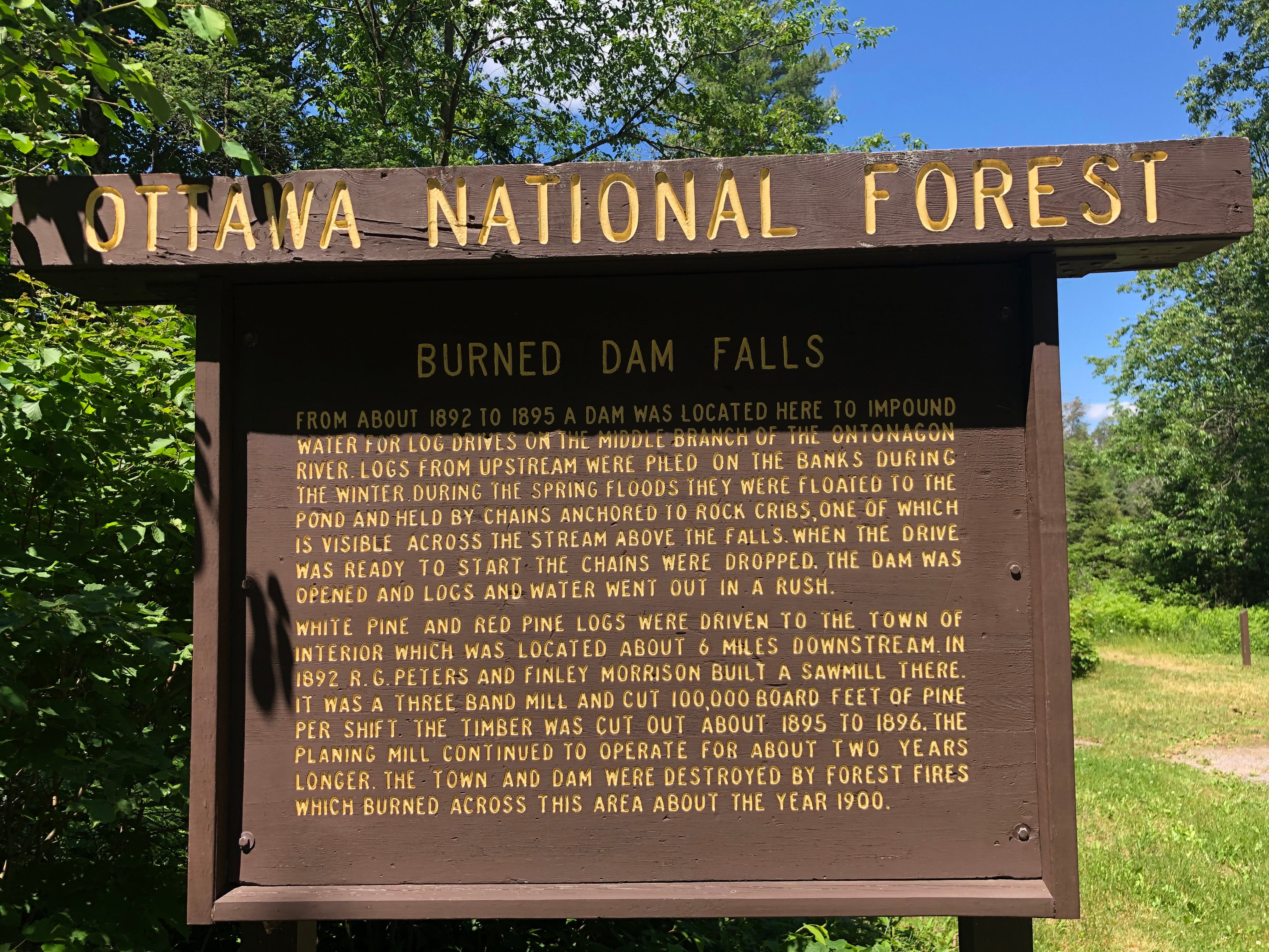
This rustic campground provides visitors with access to deep woods with fishing and canoeing opportunities on the Middle Branch of the Ontonagon River. This dispersed campground is just a short walk from Mex-i-mine Falls. As you overlook this jewel you can feel the history when loggers used this area to transport their product to the saw mills.
Location
Burned Dam Campground is located in Michigan
Directions
From Watersmeet, Mi., take US 45 north approximately 1 mile from intersection with US 2, turn right (east) on Old US 2 and travel approximately 7 miles east, turn left onto FR 4500 and travel approximately 1 mile to the campground. From Bruce Crossing, Mi., take US 45 south approximately 18 miles, turn left (east) onto Old US 2 and travel approximately 7 miles, turn left onto FR 4500 and travel approximately 1 mile to the campground.
Coordinates
46.31374461 N
89.053278 W
Access
- Drive-InPark next to your site
Stay Connected
- WiFiUnknown
- VerizonUnknown
- AT&TUnknown
- T-MobileUnknown
Site Types
- Tent Sites
- Standard (Tent/RV)
Features
For Campers
- Picnic Table
- Drinking Water
- Toilets
- Alcohol
- Pets
- Fires

