Free Camping Collection
Dispersed Camping
Rainbow Falls - Dispersed Camping
About
USDA Forest Service
Pike and San Isabel National Forests and Cimarron and Comanche National Grasslands
The Rainbow Falls area offers many motorized roads and trails for four-wheel drive and off-highway vehicle (OHV) enthusiasts. This area contains several motorized trails open to motor vehicles 50 inches, or less, in overall width. The roads and trails in this area connect to the North Rampart Range OHV riding area as well. The North Rampart Range riding area is managed by the South Platte Ranger District. Be sure to consult with the Motor Vehicle Use Map (MVUM) for offical Forest Service routes that are open to motorized vehicles. Free Motor Vehicle Use Maps (MVUMs) are available at your local Forest Service Ranger District office. Please pick up a MVUM before you head out. These maps identify the designated Forest Service roads, and the designated motorized trails, that are open to motorized use. They also and identify what types of vehicles are allowed on the different types of routes that are displayed on the MVUM.
Fee Info
There is no fee to use this area, however, a State of Colorado OHV Registration (or an OHV Permit ) is required for all OHVs ($25.25 purchased through Colorado Parks & Wildlife).
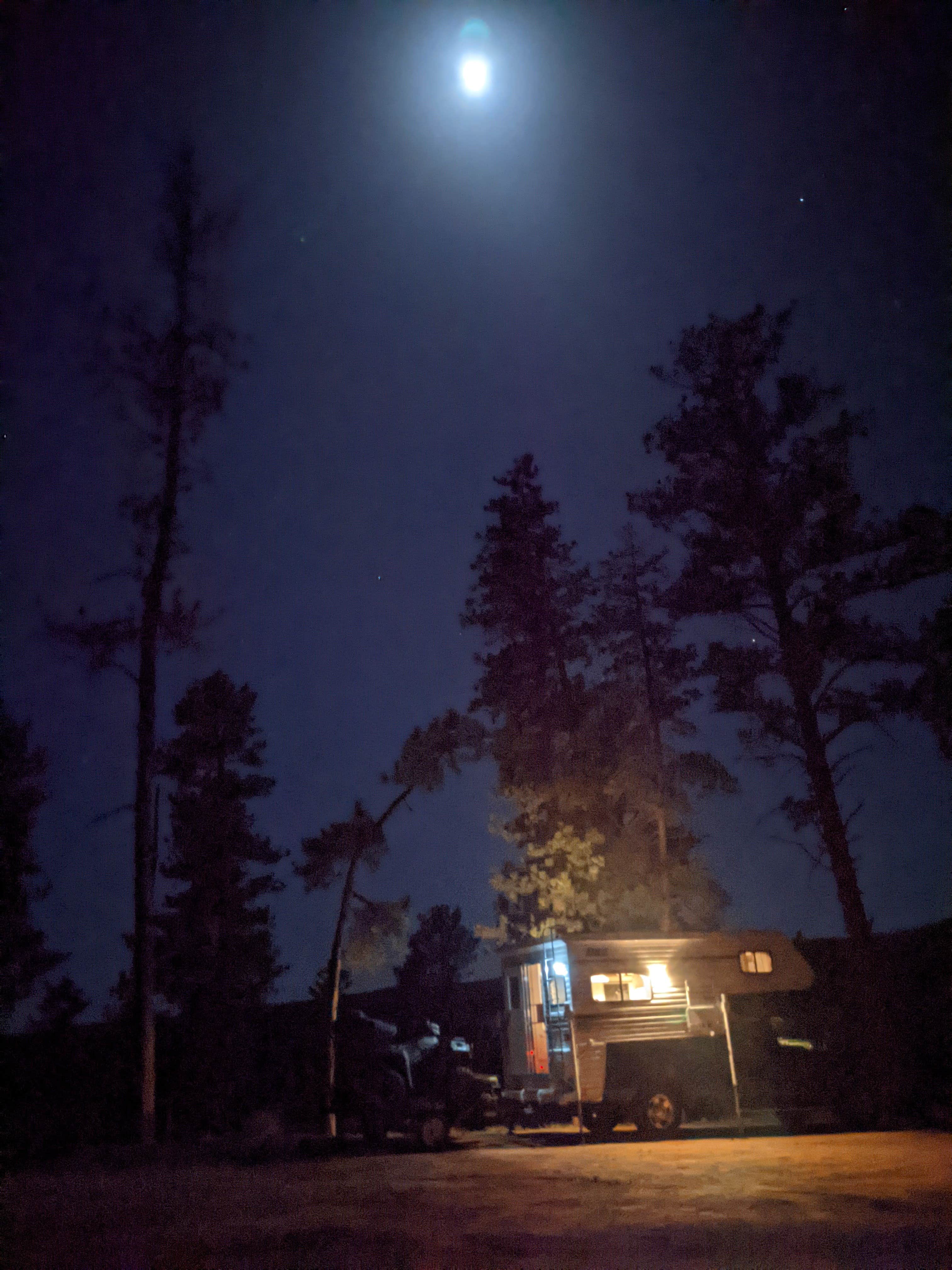
Dispersed camping is available in this OHV area. Vehicle parking is only allowed immediately adjacent to system roads. Please be courteous.
Location
Rainbow Falls - Dispersed Camping is located in Colorado
Directions
From Woodland Park, CO, take Highway 67 north out of Woodland Park. Travel approximately 9 miles north, on State Highway 67, from Woodland Park. Turn right onto Douglas County Road 49 (which also known as the "Rainbow Falls Road"). Continue down Douglas County Road 49, to the intersection with Forest Service Road 348. The Trailhead and parking area will be immediately on your right, along Forest Service Road 348.
Coordinates
39.135991 N
105.106544 W
Access
- Drive-InPark next to your site
- Walk-InPark in a lot, walk to your site.
Stay Connected
- WiFiUnknown
- VerizonUnknown
- AT&TGood
- T-MobileUnknown
Site Types
- Dispersed
Features
For Campers
- Picnic Table
- Phone Service
- Reservable
- Toilets
- Alcohol
- Pets
- Fires

